

 Travel Essentials
 Travel Essentials

Explore the Appalachian High Route: a 330-mile adventure accessing nearly all 6,000-foot peaks east of the Mississippi, through national parks and forests.
 Travel Essentials
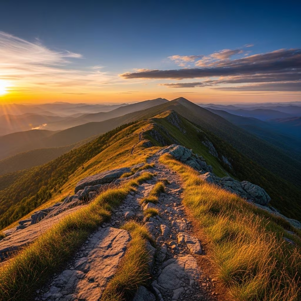
The Appalachian High Route (AHR) stands as a premier long-distance hiking challenge in the southern United States, weaving together established trails to form a captivating 330-mile loop. This route invites adventurers to scale nearly every 6,000-foot peak east of the Mississippi River while traversing diverse landscapes from grassy balds to rugged ridges.
Established through the vision of ultrarunner Jennifer Pharr Davis, the AHR links segments of the renowned Appalachian Trail (AT), the Mountains-to-Sea Trail (MST), the demanding Black Mountain Crest Trail (BMCT), and a practical Burnsville Connector. Spanning western North Carolina and a touch of Tennessee, it primarily unfolds within three national parks, three national forests, and one state park.
Starting and ending in the quaint mountain town of Burnsville, North Carolina—conveniently 40 minutes from Asheville—the loop circles southwest, showcasing the region’s towering summits and natural wonders. Hikers can expect 3 to 5 weeks for completion, depending on pace, fitness, and weather conditions.
The AHR masterfully integrates existing paths with minimal new construction, relying on about 26 miles of roads and connectors for cohesion. Here’s a comprehensive segment overview:
| Segment | Distance (miles) | Key Highlights | Elevation Gain (approx.) |
|---|---|---|---|
| Black Mountain Crest | 12 | Mount Mitchell, 6,000-ft peaks | High (strenuous) |
| Mountains-to-Sea | 155 | Waterfalls, Parkway overlooks | Moderate |
| Appalachian Trail | 135 | Max Patch bald, Smokies | Moderate |
| Burnsville Connector | 26 | Roads, local trails | Low |
Spring (April-May), summer (June-August), and fall (September-November) define the optimal windows for the AHR, balancing mild temperatures with accessible trails. Summers bring lush greenery but potential thunderstorms; falls dazzle with foliage but cooler nights. Winters pose risks from ice on high elevations, though some section-hike in milder conditions.
Average daily highs range from 60-80°F (15-27°C) in peak seasons, with lows dipping to 30-50°F (0-10°C). Precipitation is frequent, so waterproof gear is essential. Monitor forecasts via National Weather Service for Smokies and Pisgah areas.
Packing for the AHR demands versatility for variable weather, rugged terrain, and multi-week autonomy. Base weight should target 10-15 pounds for thru-hikers.
Hyperlite Mountain Gear highlights the route’s demands in their beta, emphasizing durable, lightweight fabrics for constant moisture.
Burnsville serves as the primary hub with groceries, outfitters, and lodging on Main Street. Other stops include Hot Springs (AT section, ~mile 300) for hostels and resupply, and Asheville (nearby for MST early sections). Section hikers can utilize trailheads like Mount Mitchell State Park or Clingmans Dome.
Plan for 5-7 day food carries; mail drops to Burnsville PO viable. Black bears are prevalent—hang food 12 feet high, 6 feet from trunk.
Terrain varies: moderate on MST/AT with 2,000-4,000 ft daily gain, strenuous on BMCT (up to 6,000 ft). Road walks on connector demand traffic awareness. Navigation relies on apps; cell service spotty in valleys.
Hikers like those on Hike with Gravity note weather interruptions, advocating flexible itineraries.
The AHR traverses old-growth spruce-fir forests atop 6,000-footers, rhododendron thickets, and open balds sustaining elk and deer. Mount Mitchell hosts rare relics like brown hair sedge; Smokies shelter 19,000+ species. Leave No Trace principles are paramount—no camping atop fragile summits.
Thru-hiking demands 15-25 miles/day with elevation. Build base with 50+ mile weeks, including vertical. Practice loaded backpacking on AT sections or equivalents. Strength training for legs/core aids steep grades.
Approximately 60,000-70,000 feet over 330 miles, concentrated on high-elevation segments.
No—requires prior long-distance experience due to remoteness, weather, and mileage.
Restricted in GSMNP and Mount Mitchell State Park; check NF rules.
CalTopo files available via community shares; FarOut for AT/MST.
Counterclockwise (Burnsville to AT first) eases into roads after rugged sections, per many completers.
As a nascent route, the AHR thrives on stewardship. Support via Friends of the MST, AT Conservancy. Report issues to USFS. This loop not only challenges body and spirit but fosters deep connection to Appalachian wilds.
