

 Travel Essentials
 Travel Essentials

Discover efficient ways to traverse Atlanta using public transit, rideshares, bikes, and more. Essential tips for visitors on buses, trains, streetcars, and accessibility.
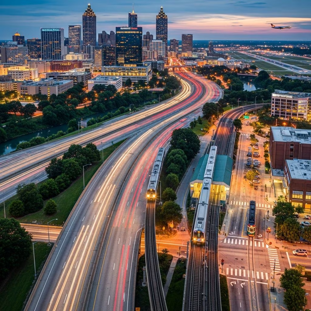 Travel Essentials
Atlanta, a sprawling southern metropolis, offers visitors a variety of transportation choices to explore its rich culture, historic sites, and modern attractions. From high-speed rail lines to pedestrian-friendly paths, the city’s network ensures accessibility across neighborhoods like Downtown, Midtown, Buckhead, and beyond. This guide breaks down every option, helping you choose based on budget, speed, and convenience.
The Metropolitan Atlanta Rapid Transit Authority (MARTA) forms the core of the city’s public transportation, with four rail lines radiating from central hubs. These lines—Red, Gold, Blue, and Green—connect key areas including Hartsfield-Jackson Atlanta International Airport, Buckhead, and Inman Park, running every 10-15 minutes during peak hours.
Starting at Five Points Station in Downtown, the Red and Gold lines head north to Buckhead and Sandy Springs, while Blue and Green extend east-west through neighborhoods like West End and East Point. Airport connectivity is a standout feature: the Red and Gold lines provide direct service from the terminal, taking about 15-20 minutes to reach Downtown for a fraction of taxi costs.
Fares start at $2.50 for a one-way trip, with reloadable Breeze cards offering discounts for frequent riders. Stations feature elevators and accessible platforms, making MARTA suitable for most travelers.
Complementing the rails, MARTA’s 91 bus routes span over 1,000 miles, reaching areas rails don’t cover like Virginia-Highland or Old Fourth Ward. Buses operate daily, with frequent service in urban cores and express options during commutes.
Local buses handle short neighborhood hops, such as from Midtown to Piedmont Park, while regional services like GRTA Xpress link suburbs from 12 counties to Downtown. CobbLinc and Gwinnett County Transit provide similar commuter buses with ADA paratransit for eligible users.
| Service | Coverage | Frequency | Cost |
|---|---|---|---|
| MARTA Local Bus | Citywide neighborhoods | Every 15-30 min | $2.50 one-way |
| GRTA Xpress | 12 counties to Atlanta | Peak hours weekdays | Varies by route |
| CobbLinc | Cobb County to Midtown | Mon-Sat | $3-5 roundtrip |
Real-time tracking via the MARTA app or Breeze Transit app ensures timely arrivals.
The Atlanta Streetcar, a 2.7-mile modern loop, zips between Centennial Olympic Park and the Martin Luther King Jr. National Historical Park every 10-15 minutes. Stops near the Georgia Aquarium, World of Coca-Cola, and Sweet Auburn make it perfect for tourist circuits.
Rides cost $1, with free transfers to MARTA within 3 hours. Fully accessible with low-floor boarding, it’s an efficient, scenic option avoiding traffic snarls.
Buckhead’s ‘The Buc’ shuttle offers gratis rides connecting hotels, Lenox Square, Phipps Plaza, and MARTA stations. This fast, frequent service runs through the business district, ideal for shoppers and diners.
Other freebies include the Atlantic Station Shuttle from Arts Center MARTA to the mixed-use development, and airport shuttles at select hotels. These eliminate parking hassles in high-traffic zones.
Uber and Lyft dominate for on-demand rides, with ample drivers citywide. Medium trips like Midtown to Buckhead cost $15-25, and airport pickups bypass public transit baggage woes.
Taxis queue at hotels, malls, and stations, featuring flat rates: $30 from airport to Downtown, $27 to Midtown, $32 to Buckhead. Shuttles and limos provide door-to-door elegance for groups or events, often with fixed pricing.
Atlanta’s 100+ miles of off-road trails, including the transformative BeltLine, invite biking and strolling. Rent scooters or bikes via apps like Lime or Bird for in-town jaunts; helmets recommended.
Neighborhoods like Midtown and Inman Park shine for walkability, with paths to the Atlanta BeltLine’s 22-mile loop encircling the city. Connects parks, breweries, and street art seamlessly.
Hartsfield-Jackson, the world’s busiest airport, links directly to MARTA for $2.50 to Downtown. Rideshares cost $35-50; taxis have flat rates. Rental cars abound, but traffic peaks 7-9 AM and 4-6 PM—plan accordingly.
International arrivals clear customs efficiently; shuttles to off-site hotels run 24/7. Download the ATL app for SkyTrain connections to terminals.
MARTA trains and buses are wheelchair-friendly with lifts and securements; elevators operate at all rail stations. Streetcar and BeltLine prioritize universal design.
Paratransit like CobbLinc’s ADA service accommodates registered users. Apps offer audio announcements and visual aids for low-vision travelers.
Breeze cards ($2 fee) load via app for seamless fares across MARTA, Streetcar. Google Maps integrates all options; MARTA’s site has interactive maps.
MARTA Red/Gold line at $2.50, 15-20 minutes.
No, typically 5 AM-1 AM weekdays, shorter weekends. Buses extend later.
Yes, foldable or standard in designated areas off-peak.
Highly in cores like Downtown/Midtown; BeltLine excels. Suburbs favor transit.
MARTA Breeze or Google Maps.
Music festivals and Dragon Con spike demand—arrive early. Summer heat favors indoor-cooled trains; winter sees reliable service.
For conventions at Georgia World Congress Center, Streetcar and shuttles shine.
