

 Travel Essentials
 Travel Essentials

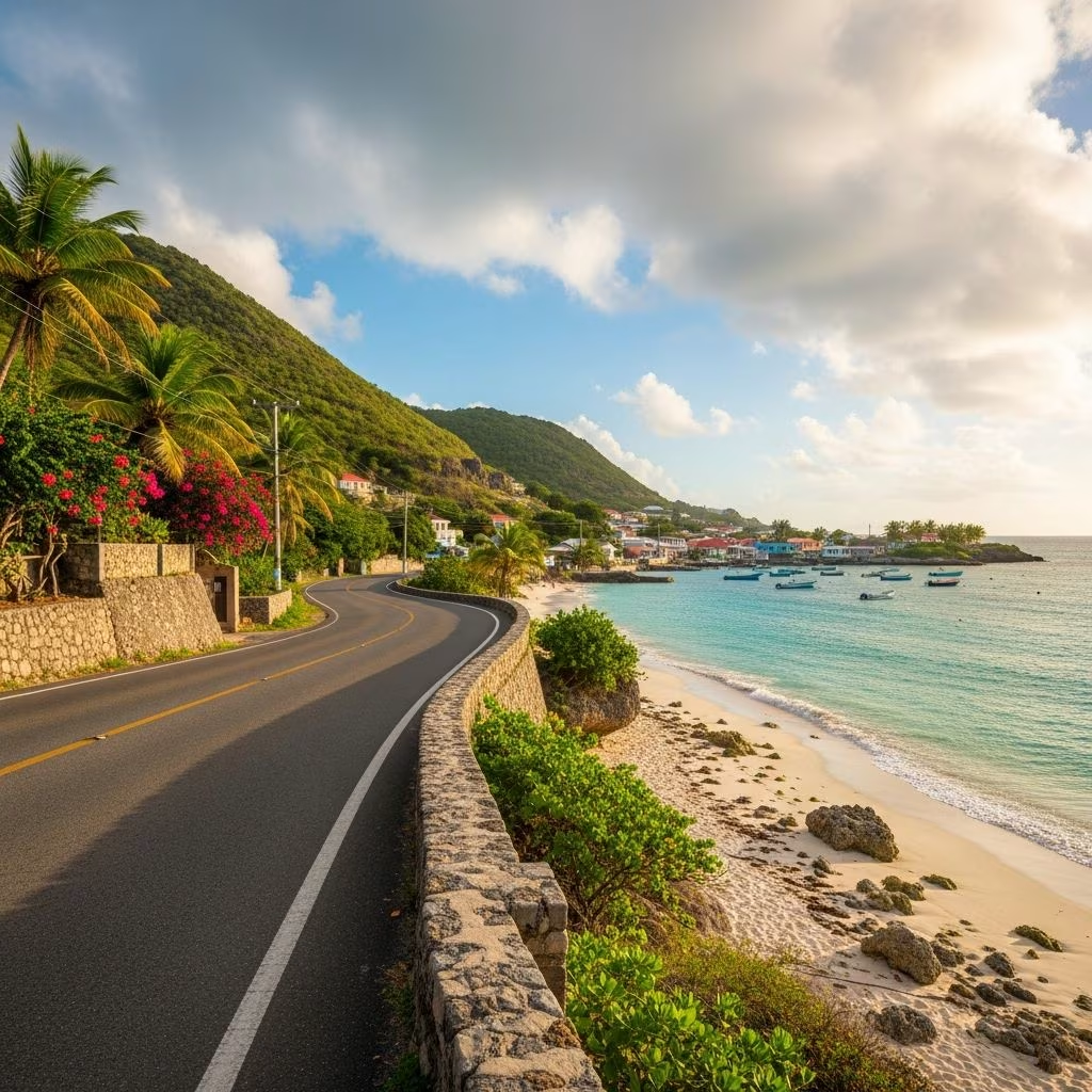
Explore curated road trip itineraries in Barbados highlighting natural wonders, historic sites, beaches, and cultural gems for an unforgettable island drive.
 Travel Essentials
Barbados, a compact Caribbean gem, offers drivers unparalleled access to its diverse landscapes. From pounding Atlantic waves on the east coast to serene west-side beaches, road trips here reveal the island’s raw beauty, colonial history, and vibrant local life. These self-guided routes, suitable for rental cars or personal vehicles, typically span 4-8 hours depending on stops, with distances under 100km thanks to the island’s 430 sq km size. Ideal for day trips, they start from popular hubs like Bridgetown or Holetown.
Before hitting the road, secure a rental car from Bridgetown’s airport or west coast spots; international licenses suffice, but local ones ease bureaucracy. Roads are well-paved but narrow in rural areas—drive on the left, watch for potholes, and use Google Maps offline. Fuel stations dot the south and west; east coast options are scarcer. Pack water, sunscreen, snacks, and cash for roadside vendors. Best times: dry season (December-April) for clear views; avoid peak rush hours in Bridgetown.
This 50km loop from Speightstown northward captures Barbados’ wild north tip. Begin in charming Speightstown, a preserved colonial port with colorful chattel houses and fresh fish markets along Queen’s Street. Stroll the waterfront, grab cou-cou from a vendor, then head north past luxury marinas like Port Ferdinand.
Arrive at Animal Flower Cave, the island’s northernmost point. Descend into this sea-carved cavern (entry ~BBD 25) to see anemones—’animal flowers’—and natural pools; tides dictate access, but cliff-top views of crashing Atlantic waves thrill anytime. Nearby, Cove Bay offers a hidden picnic spot amid palms and grazing sheep, with vistas down the jagged coast.
Continue to Cherry Tree Hill, driving through a canopy of ancient mahogany trees. Park at the viewpoint for panoramic east coast sweeps—rolling hills to distant lighthouses on clear days. Adjacent Morgan Lewis Windmill, the Caribbean’s last operational sugar windmill (free entry), stands as a testament to 17th-century industry; climb for 360-degree panoramas.
| Stop | Distance from Previous | Highlight | Time Needed |
|---|---|---|---|
| Speightstown | Start | Historic shops, sea views | 45 min |
| Animal Flower Cave | 15km | Cave tours, ocean power | 1 hr |
| Cove Bay | 5km | Secluded cliffs | 30 min |
| Cherry Tree Hill & Windmill | 10km | Iconic views, history | 1 hr |
End with a detour to St. Nicholas Abbey (BBD 30), a 17th-century Jacobean manor distilling premium rum—tour the grounds, taste mahogany-aged spirits, and learn sugar trade lore.
Barbados’ east coast road (Hwy 2) is the island’s dramatic spine—rugged cliffs, boulder-strewn beaches, and relentless surf define this 30km stretch from Cherry Tree Hill to Bathsheba. Fewer crowds mean pure immersion; waves draw surfers globally.
Kick off post-Cherry Tree at Bathsheba’s Soup Bowl, Barbados’ surf mecca. Watch pros carve 10ft barrels from Andromeda Restaurant’s deck or the beach; beginners book lessons nearby. Round House Inn serves flying fish cutters with ocean vistas—perfect refuel.
Cruise south through Cattlewash, where locals picnic amid driftwood and golden sands. Bath Plantation House offers heritage insights (if open). Reach Ragged Point Lighthouse for cliff-edge views of converging coasts; nearby Flower Cove Beach tempts with tide pools.
For adventure, detour to Woodburne Sugar Factory ruins or hike Hackleton’s Cliff trails. This route embodies Barbados’ untamed side, contrasting west luxury.
Laid-back 25km from Bridgetown to Speightstown, this route hugs platinum sands and upscale vibes. Start in vibrant Bridgetown—UNESCO site with Garrison Historic Area, catamaran marinas, and Nidhe Israel Synagogue (oldest in Americas).
Head north to Holetown, shopping haven with designer boutiques and lime-lined streets. Folkestone Marine Park invites snorkeling coral reefs (gear rental available). Relax at Paynes Bay or Sandy Lane beaches, where catamarans bob and sea turtles surface.
Detour inland to Mount Gay Visitor Centre for rum history tours—sample eclipse blends, trace distillation since 1703. End in Speightstown for sunset seafood at Fisherman’s Wharf.
Barbados’ party strip, 20km from Bridgetown to Oistins, buzzes with energy. Explore St. Lawrence Gap’s bars, Carlisle Bay’s shipwrecks (dive sites teeming with rays), and vibrant markets.
Key stops: Crane Beach—pink sands, massive waves (bodyboard paradise); Animal Sanctuary for monkeys; Oistins Fish Fry (Fridays—grilled mahi-mahi, soca music). Inland, visit Codrington College, oldest Anglican seminary.
| Route | Length | Theme | Difficulty |
|---|---|---|---|
| Northern Explorer | 50km | History & Views | Easy |
| East Coast Odyssey | 30km | Nature & Surf | Moderate |
| West Coast Wander | 25km | Beaches & Relaxation | Easy |
| South Coast Circuit | 20km | Culture & Food | Easy |
Combine north-east-south for a 100km clockwise circuit (Bridgetown-North Point-Bathsheba-South Coast back). Start early (7am), allocate 8-10 hours. Highlights: caves, windmills, surf, beaches, rum. Pack lunch; end with sunset in Oistins. Counterclockwise suits anti-clockwise preference for lighter traffic.
Respect ‘ZRs’ (minibuses)—they rule roads. No drones at beaches. Eco-tip: Stick to paths to protect fragile coasts. Families: Child seats mandatory. Couples: Romantic Hill views unbeatable.
No, standard cars suffice; east coast unpaved spurs optional.
Morning for calm seas, fewer crowds.
None; parking free at attractions.
Avoid—poor lighting, livestock.
Limited; hybrids growing.
