

 Travel Essentials
 Travel Essentials

Explore Bozeman's premier bike routes, blending city paths, creek-side trails, and canyon climbs for unforgettable rides amid Montana's stunning landscapes.
 Travel Essentials
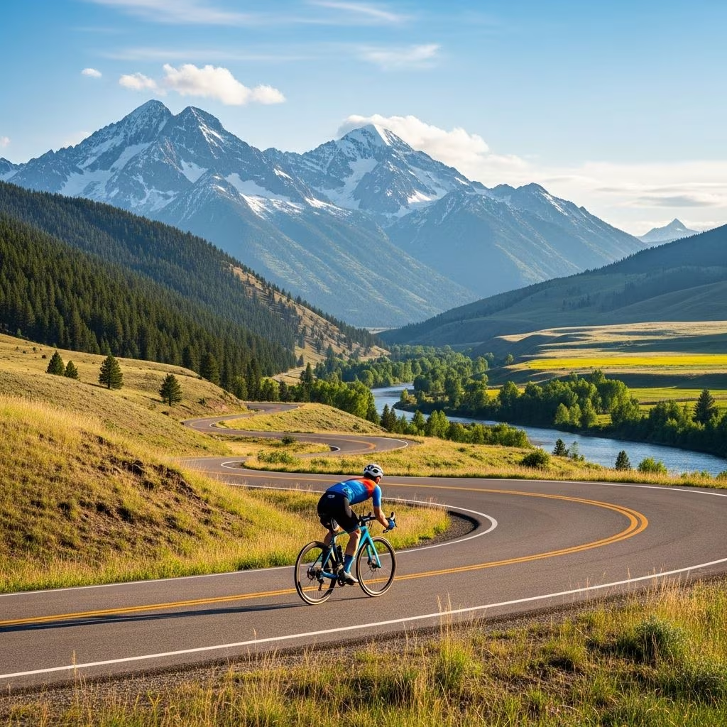
Bozeman, nestled in Montana’s Gallatin Valley, offers cyclists an array of exceptional riding opportunities. Surrounded by towering mountains and crisscrossed by creeks, the area features everything from smooth paved paths ideal for beginners and commuters to rugged singletracks for seasoned mountain bikers. These routes provide not only physical challenges but also breathtaking views of the Bridger, Gallatin, and Madison Ranges, wildlife sightings, and a deep connection to nature. Whether you’re spinning through neighborhoods, climbing canyon roads, or tackling forested descents, Bozeman’s trails cater to all skill levels and preferences.
The city’s commitment to sustainable transportation shines through its extensive bike infrastructure. Montana State University (MSU) provides detailed bicycle maps highlighting lanes, trails, and fix-it stations, making navigation straightforward for visitors and locals alike. Bozeman’s trails often follow historic railroads, weave alongside rivers, and ascend into alpine meadows, offering low-traffic escapes from urban bustle. Summer brings wildflower blooms and clear skies, while fall delivers golden aspens and fewer crowds. Spring and extended shoulder seasons open longer options like Headwaters Trail, rideable beyond typical snow periods.
Cycling here promotes fitness, reduces traffic congestion, and immerses riders in Montana’s outdoor ethos. Popular paths see joggers and families, emphasizing courtesy and shared use, while remote routes promise solitude.
For those seeking accessible, low-commitment spins, Bozeman’s paved trails deliver smooth surfaces and scenic urban-nature blends.
This standout paved route kicks off at Story Mill Road and Bridger Drive, climbing two miles to the ‘M’ parking lot on the Bridger Mountains’ flank. The steady uphill workout rewards with a exhilarating descent, all on well-maintained asphalt. It’s family-friendly yet challenging enough for a solid cardio session, with panoramic city and peak vistas at the top.
Connecting seamlessly to the Trail to the M, the Story Mill Spur traces Bozeman Creek via former railroad beds and nature paths into Story Mill Park. Spot birds and wildlife amid swaying grasses—urban wildness at its finest. Transition via city streets to the Gallagator Trail south of the library, a multi-use favorite crossing the creek on bridges en route to Kagy Boulevard and MSU. Busy with pedestrians, it demands cautious pacing but links neighborhoods efficiently.
Starting from West Main Street, Babcock’s wide bike lanes extend four miles westward to Norton Ranch. Traffic thins beyond Cottonwood, opening connections to Valley Lakes parks, Oak Street, and Gallatin Regional Park trails northward to Cattail Lake. Ideal for commuters or those extending rides into greener expanses.
Bozeman’s southside hills challenge riders with rewarding summits boasting sweeping views.
From Lindley Park to Kagy Boulevard, this rugged trail tops a ridge with dramatic overlooks of the Bridgers and downtown. Steep ends bookend a wide, bench-dotted plateau perfect for pauses. Alternative accesses from the hospital or Hillcrest ease entry for varied fitness levels. Less about speed, more about scenery.
Parallel to Burke Park but paved and eastern, Highland climbs behind the hospital past Hillcrest. The asphalt eases pedaling, though gradients demand effort before the joyful downhill return. Adjacent Highland Glen offers high-line options skirting a canyon for advanced spins.
Venture south for wooded paths and canyon gateways.
Launching off Fairway Drive south of Kagy, this meandering route passes Valley View Golf Course, subdivisions, and woods to Goldenstein at Tuckerman Park. Link via South Third and Nash to Sourdough Canyon trailhead for road-to-trail extensions. Shaded and serene, it’s a staple for intermediate riders.
Starting behind Bridger Drive along the creek, these quieter trails snake near Bridger Creek Golf Course to Glen Lake Park’s loops. Less trafficked, they suit solitary outings through woods, extendable to Cherry River or the M Trail for longer adventures.
Roadies revel in Bozeman’s paved canyons, blending climbs with valley sweeps.
| Route | Distance | Elevation Gain | Highlights |
|---|---|---|---|
| Hyalite Canyon | ~40 miles RT | 3,000 ft | Forested ascent to reservoir, waterfalls, peaks |
| Sourdough with Kelly Canyon | 25-30 miles | 2,500 ft | Rolling hills, ranch views, Bridger climbs |
| Jackson Creek Pass | 35 miles | 2,800 ft | Steep pitches, high meadows, wildlife |
| Sourdough Loop with Bear Canyon | 50 miles | 4,000 ft | Extended epic, double canyon challenge |
These routes, favorites among local shops, demand good fitness but yield stunning rewards like Hyalite’s alpine lake or Kelly Canyon’s loops.
For dirt lovers, Bozeman’s ranges host world-class singletrack.
Trailforks ranks these highly for flow and scenery; check Owenhouse Cycling maps for updates.
Best Seasons: June-September for peak conditions; shoulder months for Headwaters solitude.
Gear Essentials: Helmet, water, layers for weather shifts, repair kit. MSU fix-it stations aid roadside fixes.
Maps: MSU’s Bozeman Area Bicycle Map (SUB 284), Beartooth Publishing singletrack guides, or digital apps like Komoot for routes.
Etiquette: Yield to hikers/pedestrians, announce passes, control speed on shared paths.
The Gallagator Trail offers flat, paved cruising along the creek, perfect for casual riders.
Yes, Trail to the M and Story Mill Spur are paved and scenic for all ages.
Hyalite and Sourdough Canyons provide challenging climbs with minimal traffic.
Highland Glen’s high lines or East Gallatin loops ease into singletrack.
MSU Sustainability Office, Owenhouse Cycling, or online via Trailforks.
