

 Travel Essentials
 Travel Essentials

Explore the best mountain hikes in Phoenix's Sonoran Desert, featuring easy park trails, moderate loops, and challenging peaks like Camelback and Piestewa for all skill levels.
 Travel Essentials
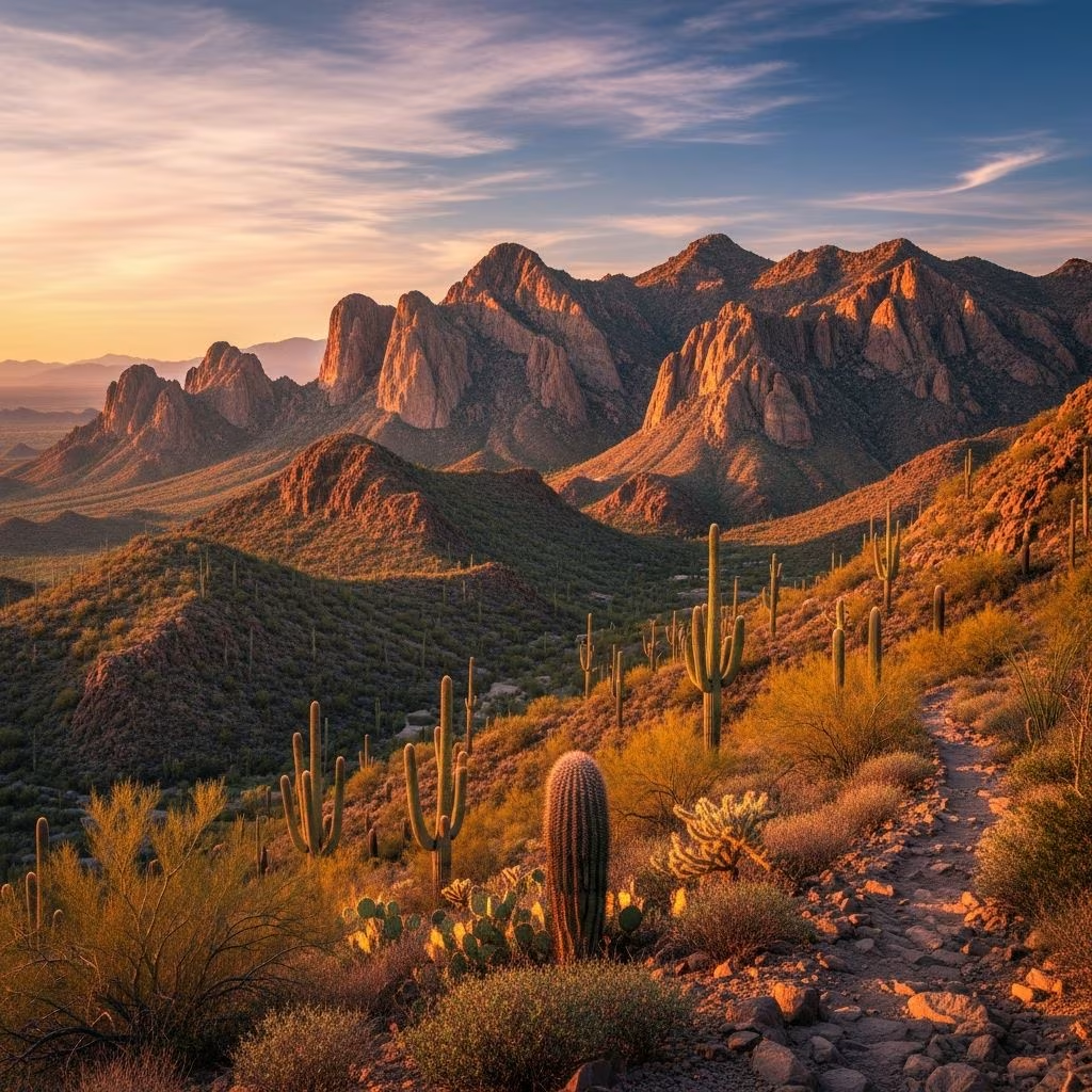
Nestled in the heart of the Sonoran Desert, Phoenix offers an abundance of mountain hikes that cater to every fitness level. From gentle loops through red rock formations to heart-pounding ascents to jagged summits, these trails provide breathtaking views of urban sprawl blending with wild desert expanses. Whether you’re a local seeking a quick workout or a visitor craving authentic Arizona adventure, the region’s parks and preserves deliver unforgettable experiences amid saguaro cacti, wildflowers, and dramatic geology.
Phoenix’s mountain hikes stand out for their accessibility and variety. Urban proximity means most trails start just minutes from downtown hotels, resorts, or neighborhoods, eliminating long drives. The Sonoran Desert’s mild winters and sunny disposition make year-round hiking feasible, though summers demand early starts to beat the heat. These paths not only challenge your body but also immerse you in diverse ecosystems, ancient petroglyphs, and panoramic cityscapes that showcase Phoenix’s unique fusion of nature and metropolis.
For those new to desert hiking or preferring low-impact outings, Phoenix has welcoming options that introduce the landscape without overwhelming exertion. These trails feature minimal elevation, shaded sections, and family appeal.
This urban oasis spans city borders, offering a 2.3-mile loop around twin red buttes and an 0.8-mile out-and-back to a natural rock window. The loop winds gently through sandy washes dotted with cacti, providing 360-degree views of downtown Phoenix and Tempe. Hole-in-the-Rock adds a fun, short climb to a wind-carved opening perfect for photos. Rated easy, it’s ideal for sunrise strolls or evening picnics, with ample parking and restrooms.
A 3-mile loop in this regional park showcases classic Sonoran scenery with rolling hills and wildflower blooms in spring. The path circles a foothill, passing ironwood trees and barrel cacti, with interpretive signs explaining local flora. Easy grading makes it suitable for all ages, and it’s a gateway to longer adventures in the park.
Clocking in at 3.8 miles, this newer preserve trail meanders through untouched desert with rich biodiversity. Optional side trips to Dixie Summit (0.2 miles, difficult) or Western Vista (0.3 miles, moderate) add customizable challenge. Spring visitors revel in poppy fields and lupine displays.
Step up to trails that build endurance while delivering iconic features like hidden tunnels and sweeping overlooks. These suit hikers comfortable with steady inclines and some rocky sections.
This 4-mile out-and-back in the massive South Mountain Park/Preserve starts steep but rewards with petroglyph panels, a natural arch, and ‘Fat Man’s Pass’—a narrow squeeze between boulders. The lollipop loop via National Trail explores a secluded valley before descending. At 16,000 acres, the preserve hosts over 100 miles of paths, making it a hiker’s paradise.
Gain 450 feet in under a mile for stellar south-facing vistas over the Phoenix Mountains. Less crowded than nearby icons, it connects to the 2.6-mile Circumference Trail for extended exploration. Moderate effort yields quiet summit solitude.
| Trail Name | Distance | Elevation Gain | Key Feature |
|---|---|---|---|
| Hidden Valley | 4 miles | ~700 ft | Rock squeeze & petroglyphs |
| 16th Street | 1 mile RT | 450 ft | Panoramic views |
| Dixie Loop | 3.8 miles | Minimal | Wildflowers |
Phoenix’s signature peaks demand fitness, hydration, and grit, but cresting them feels triumphant amid jaw-dropping panoramas. No dogs allowed on most due to steepness and fragility.
The city’s most famous hump rises 2,700 feet, with Echo Canyon (2.6 miles, 1,552 ft gain) being steeper and scrambl-y—hands often needed for boulder hops. Cholla (3 miles, 1,279 ft) offers a slightly gentler ridge walk. Both culminate at the camel-head summit overlooking Scottsdale and the valley. Crowded; arrive pre-dawn. Not for novices.
In Phoenix Mountains Preserve, this 2.4-mile round trip surges 1,200 feet via schist staircases resembling an endless escalator. Cacti-framed views of the city unfold en route to 2,608 feet. Second to Camelback in popularity, it’s a rite of passage for fit visitors. Sunrise softens the grind.
For remoteness, McDowell Sonoran’s Tom’s Thumb (10+ miles options) climbs gradually to a massive thumb-like spire with valley vistas. Superstition Mountains’ Flatiron (7 miles, extreme gain) assaults via relentless switchbacks to a sheer plateau resembling a pressed iron—epic for seasoned adventurers.
Arizona’s climate dictates smart planning. Hike October-April ideally; post-80°F, start by 5 AM. Carry 1 liter water per hour, sunblock, hat, and salty snacks. Closed-toe shoes prevent rattlesnake bites; stick to trails. Check apps for heat advisories. Dogs thrive on leash-friendly paths like Papago but falter on peaks.
Combine hikes for multi-peak days or pair with city sights. Public transit reaches Papago; rideshares cover Camelback. Resorts near Scottsdale gateways simplify logistics. Pack layers for chilly summits, even in spring.
Many are, like Papago and Usery, but major summits (Camelback, Piestewa) prohibit dogs due to terrain.
Papago’s Double Butte Loop—flat, short, scenic.
Possible pre-dawn, but extreme heat risks exist; winter preferred.
Very on weekends; midweek or sunrise quieter.
No for marked trails, but apps like AllTrails aid navigation.
Beyond mountains, Phoenix trails weave through washes and valleys. Wave Cave in Superstitions offers moderate cave allure; Pinnacle Peak provides steady climbs. These hikes cement Arizona’s reputation as a trail mecca.
