

 Travel Essentials
 Travel Essentials

Explore the best road trips in Guatemala, from volcanic hikes and serene lakes to jungle ruins and coastal drives. Perfect for adventure seekers renting a car.
 Travel Essentials
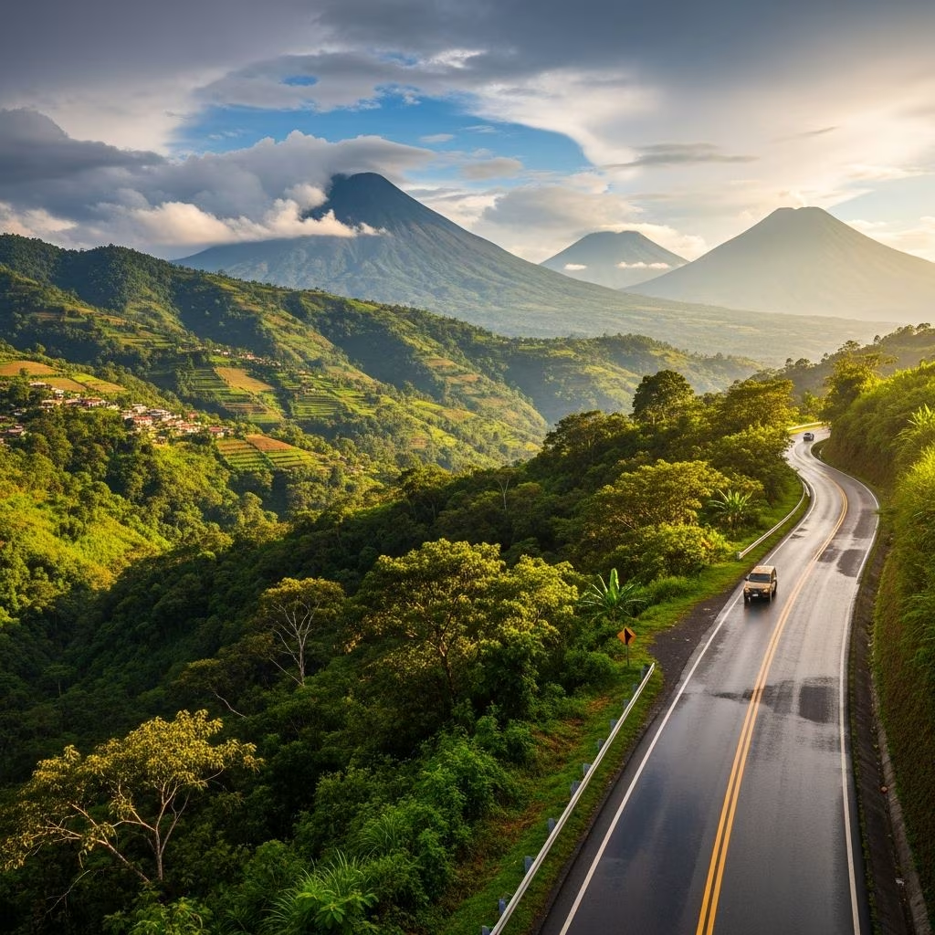
Guatemala’s compact size belies its extraordinary diversity, making it a paradise for road trippers. With rugged mountains, volcanic peaks, crystalline lakes, and ancient Mayan sites, self-driving here unlocks hidden gems inaccessible by bus. Rent a 4×4 for winding roads, pack essentials like water and snacks, and embrace spontaneous stops at markets or viewpoints. These routes blend adventure, culture, and nature, ideal for 1-7 day escapes.
Guatemala’s roads vary from smooth highways to potholed dirt tracks. A high-clearance vehicle handles most, but check weather—rainy season (May-Oct) turns paths muddy. Gas stations are frequent on main routes; fill up in towns. Download offline maps (e.g., Maps.me) as signals fade in remotes. Drive daylight hours to avoid fatigue; locals navigate hairpin bends expertly.
This 77km (48-mile) journey from Antigua climbs through Sierra Madre foothills to Lago de Atitlán, Guatemala’s crown jewel—a deep caldera lake ringed by three volcanoes. Allow 2 days for markets, boat hops, and textiles.
Depart Antigua’s cobblestone streets, passing Volcán de Agua. Join CA-14 north to Chimaltenango, where roadside stalls burst with pottery and huipiles (woven blouses). At Los Encuentros, veer onto RN-1 to Panajachel. The descent reveals Atitlán’s sapphire waters backed by Tolimán, Atitlán, and San Pedro volcanoes.
| Stop | Distance from Antigua | Highlights |
|---|---|---|
| Chimaltenango | 25km | Street markets, fresh fruits |
| Los Encuentros | 50km | Junction for Chichi market detour |
| Panajachel | 77km | Lake launchpad, kayaking |
In Pana, ferry to villages like Santa Cruz (hiking trails) or San Pedro (party vibe). Hike Indian Nose at dawn for epic lake panoramas. Stay in eco-lodges overlooking the water (~$50/night).
Base in Antigua for a 100km loop tackling active volcanoes. Acatenango’s overnight hike steals the show: trek 6-8 hours to 3,976m, camping amid Fuego’s lava-spewing eruptions every 15 minutes.
Day 1: Drive to Pacaya (25km south), an easy 2-hour lava-field scramble. Toast marshmallows on hot rocks. Evening: Acatenango base camp shuttle. Summit pre-dawn for Fuego fireworks.
Extend to Almolonga Valley for hot springs or La Bocana black-sand beach. Roads are paved but steep; guides mandatory for hikes (~$30/person). This route suits fitness buffs chasing adrenaline.
Spanning 215km (134 miles) over 3 days, this Alta Verapaz odyssey dives into misty jungles, limestone caves, and Cahabón River’s natural pools. Perfect for hikers and swimmers.
From Cobán, CA-14 winds past orchid-filled cloud forests. Detour to Biotopo Mario Dary Quiral for quetzal birdwatching. Reach Lanquín (good roads, hotels), then 11km dirt to Semuc Champey: terraced turquoise pools over a hidden river. Tube, cliff-jump, or hike to El Mirador viewpoint.
Continue to Río Dulce’s canyon-laced estuary, boating to hot springs. Wildlife abounds: monkeys, toucans. Camp or glamp (~$20-60/night).
For 4×4 pros, this 250km (155-mile) rugged trek from Xela (Quetzaltenango) hits Mexico-border wilds. 2 days of gravel, river crossings, and cloud forest.
Head west on dirt tracks through coffee fincas to Todos Santos, home to Mam Maya festivals. Ascend to Laguna Brava, a volcanic crater lake at 3,000m amid páramo grasslands. Spot rare birds, wild horses. Basic refugios; pack gear. Extreme: plan for breakdowns; satellite phone advised.
South on CA-2 (120km), swap highlands for black-sand beaches and mangrove estuaries. Spot leatherback turtles (Jul-Dec) at Biotopo Monterrico-Hawaii.
Stops: Palin waterfalls, Escuintla fruit stands. End in surf-friendly Monterrico; ceviche shacks line the shore. Relaxed vibe, minimal traffic.
The ultimate 535km (332-mile) epic: 7 days to Petén’s jungle-cloaked pyramids. CA-14 north via cloud forests, then CA-13 to Flores.
Day 1-2: Atitlán detour. Day 3: Cobán/Semuc. Day 4: Río Dulce castle. Days 5-7: Flores island base for Tikal sunrise—howler monkeys atop Temple IV. Yaxhá bonus: less-crowded ruins. Paved mostly; Flores bridges narrow.
| Category | Essentials |
|---|---|
| Vehicle | Tire repair kit, spare, jack, chains for mud |
| Personal | Reef-safe sunscreen, bug spray, rain poncho, snacks |
| Navigation | Offline GPS, paper map, flashlight |
| Health | First aid, altitude meds, water purifier |
Hacks: Join local Facebook groups for real-time road updates. Bargain at markets; learn basic Spanish/Q’eqchi’. Eco-tip: Support community tourism.
Yes, on main routes with precautions. Avoid solo night drives; use Waze for traffic.
Dry season (Nov-Apr) for safe roads, volcano views.
For 80% yes; highlands/paved fine with sedan.
Yes, in Guatemala City or Flores; international license recommended.
$800-1200/couple incl. car, gas, lodging, food.
| Route | Distance | Days | Difficulty | Top Draw |
|---|---|---|---|---|
| Antigua-Atitlán | 77km | 2 | Easy | Lake views, shopping |
| Volcano Circuit | 100km | 2-3 | Moderate | Acatenango eruptions |
| Cobán-Semuc | 215km | 3 | Moderate | Turquoise pools |
| Xela-Laguna Brava | 250km | 2 | Hard | Remote wilderness |
| Pacific Coast | 120km | 2 | Easy | Turtle beaches |
| Antigua-Tikal | 535km | 7 | Moderate | Mayan pyramids |
Guatemala’s roads reveal its soul: resilient people, vivid traditions, untamed beauty. Start planning—your wheels await adventure.
