

 Travel Essentials
 Travel Essentials

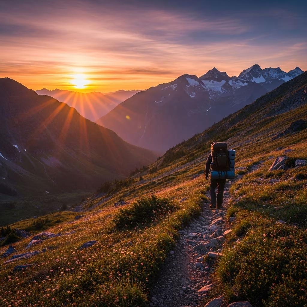
Explore top thru-hikes in the USA perfect for backpackers, featuring detailed guides on trails like the John Muir, Appalachian, and more with tips for planning your epic journey.
 Travel Essentials
Immerse yourself in the raw beauty of America’s wilderness with these premier backpacking thru-hikes. These multi-day journeys challenge your endurance while rewarding you with breathtaking vistas, diverse ecosystems, and moments of profound solitude. Whether you’re a novice seeking gentler paths or a veteran tackling epic distances, the USA offers trails for every ambition.
Thru-hiking combines physical challenge with mental rejuvenation, traversing landscapes shaped by glaciers, volcanoes, and ancient forests. These routes often span national parks, forests, and remote backcountry, demanding self-sufficiency in navigation, camping, and resupply. Benefits include unparalleled scenery, wildlife encounters, and a sense of accomplishment that lingers long after the trail ends.
For those ready for month-long quests, these legendary trails define thru-hiking heritage.
Stretching over 2,190 miles from Georgia’s Springer Mountain to Maine’s Mount Katahdin, the Appalachian Trail (AT) is the gold standard for thru-hikers. Expect 4-6 months of forested ridges, bald summits, and quirky trail towns. Elevation fluctuates with over 464,000 feet of gain, testing resilience through the Smokies, Whites, and 100-Mile Wilderness.
| Key Stats | Details |
|---|---|
| Length | 2,190 miles |
| Duration | 5-7 months |
| Difficulty | Strenuous |
| Best Season | Spring to Fall (south to north) |
Permits required in certain sections; resupply at hostels and outfitters.
The PCT carves 2,650 miles from Mexico to Canada through California, Oregon, and Washington. Highlights include the Mojave Desert, Sierra Nevada, and volcanic Cascades. Snowpack and wildfires influence timing; most complete it in 4-6 months with about 420,000 feet of elevation change.
Water scarcity in deserts demands caching; alpine passes like Forester require ice axes in early season.
At 3,100 miles, the CDT follows the spine of the Rockies from New Mexico to Montana, blending established paths with off-trail navigation. Expect high passes, bear country, and remote basins with 566,000 feet of climbing. Navigational skills essential due to alternate routes; 5-6 months typical.
Prefer bite-sized adventures? These 1-2 week trails pack punch without overwhelming commitment.
California’s 211-mile John Muir Trail (JMT) shadows the PCT through Kings Canyon and Yosemite to Mount Whitney. Glacial valleys, granite domes, and passes over 12,000 feet define this 10-21 day trek with 47,000 feet gain. Permits via lottery; start at Happy Isles or Yosemite Valley.
Winding 165 miles through the Ozarks, this trail offers waterfalls, caves, and hemlock groves. Moderate 30,000 feet elevation over 10-14 days. Less crowded than western trails; water from streams, campsites abundant.
New England’s 273-mile Long Trail, the AT’s inspiration, traverses Vermont’s peaks. 11-21 days of muddy slopes, huts, and 360-degree views with 58,900 feet gain. AMC huts provide shelter; best July-October.
Explore lesser-known routes for unique flavors.
This 110-mile loop circles Florida’s massive lake on levees and dikes. Minimal elevation (under 1,000 feet) suits 4-7 day escapes amid subtropical wetlands. Watch for alligators; start at trailheads like Pahokee.
Sam Houston National Forest’s 96-mile path meanders through baygalls and creeks. Gentle 5,000 feet gain over 3-8 days. Mosquito-heavy summers; ideal winter-spring.
Isle Royale National Park’s 42-mile ridge offers Lake Superior shores and moose sightings. 2-6 days with gentle climbs; ferry access required, permits needed.
Success hinges on smart packing. Prioritize ultralight bases: 2-3 lb shelter, 1 lb quilt, multi-fuel stove.
Food: 2 lbs/day high-calorie (nuts, bars, dehydrated meals). Test setup pre-trail.
Research regulations via recreation.gov or park sites. Timing avoids extremes: snow, heat, crowds.
| Trail | Permit Needed | Prime Months |
|---|---|---|
| AT | Some sections | Mar-Oct |
| PCT | Yes, lottery | May-Oct |
| JMT | Yes, lottery | Jun-Sep |
Safety: Bear canisters in grizzly zones, LNT principles, emergency comms. Train with loaded pack hikes.
Build base with 30-50 mile weeks, hill repeats, and overnight tests. Strength focus: core, legs, balance. Nutrition mirrors trail: carb-load, electrolyte management.
Yield to uphill hikers, camp 200 ft from water, pack out waste. Campfires per restrictions.
$4,000-$8,000 for big three trails, covering food, gear, transport.
John Muir or Ozark for balance of challenge and support.
Yes; start with section hikes.
Mail drops or towns; apps like FarOut track points.
Rarely on major trails due to wildlife.
| Trail | Length (miles) | Duration (days) | Elevation Gain (ft) | Difficulty |
|---|---|---|---|---|
| Appalachian | 2190 | 150-210 | 464000 | High |
| PCT | 2650 | 120-180 | 420000 | High |
| John Muir | 211 | 10-21 | 47000 | Medium-High |
| Ozark | 165 | 10-14 | 30000 | Medium |
| Greenstone | 42 | 2-6 | 5000 | Easy-Medium |
