

 Travel Essentials
 Travel Essentials

Explore Southern West Virginia's stunning waterfalls with trail tips, itineraries, and must-see spots like Sandstone Falls and Cathedral Falls for an unforgettable adventure.
 Travel Essentials
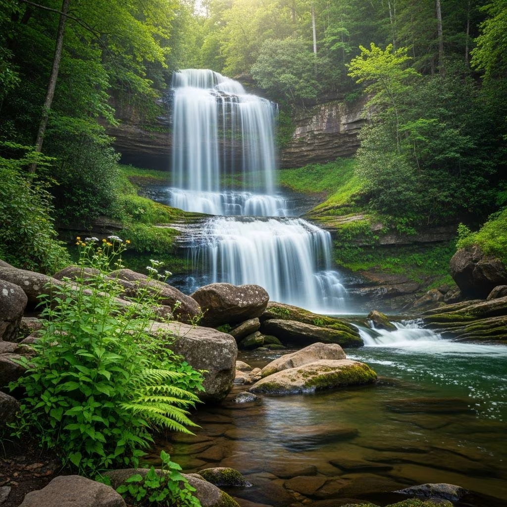
Waterfalls transform Southern West Virginia into a paradise for nature enthusiasts, where crystalline waters plunge over ancient sandstone cliffs amid lush forests. This region, encompassing areas like the New River Gorge National Park and state parks such as Babcock and Camp Creek, boasts over 40 documented falls on the official West Virginia Waterfall Trail. Launched by the West Virginia Department of Tourism, this trail encourages visitors to collect digital passport stamps for prizes while discovering cascades that range from roadside spectacles to rewarding short hikes.
The Appalachian terrain here funnels rivers through narrow gorges, creating dramatic drops fueled by consistent rainfall. Unlike linear paths, the Waterfall Trail scatters gems across counties like Fayette, Summers, and Raleigh, ideal for road trips blending drives with easy walks. Spring and fall offer peak flows and fewer crowds, while summer suits swimming holes. Safety note: Trails can be slick; wear sturdy shoes and check weather via official park sites.
Perfect for those short on time, several falls hug highways, demanding minimal effort for maximum awe.
These spots highlight the region’s accessibility, letting drivers weave waterfalls into any itinerary without detours.
State and national parks house the stars, with maintained trails enhancing the experience.
| Waterfall | Location | Hike Length | Height/Width | Highlights |
|---|---|---|---|---|
| Sandstone Falls | New River Gorge NP, Summers County | Viewpoint access | 1,500 ft wide | Largest on New River; aerial views from Route 20 |
| Cathedral Falls | Near Gauley Bridge | Short paved path | 60 ft | Shale-sandstone ledge; roadside with dirt trail option |
| Glade Creek Grist Mill Falls | Babcock State Park | Short stone path | N/A | Iconic mill backdrop; top photo spot |
| Mill Creek Falls | Ansted Rail Trail | Family-friendly trail | 35 ft | Year-round flow; picnic areas |
Sandstone Falls impresses with its expansive curtain across the New River, best viewed from the Sandstone Visitors Center. Cathedral Falls, one of the tallest, offers paved access for all abilities, though the base trail requires caution due to slipperiness.
Venture slightly off-main paths for intimate encounters.
These require GPS but reward with solitude, especially mid-week.
Camp Creek State Park shelters serene drops like Campbell Falls (15 ft high, 40 ft wide, shelf-style into a pool; great for swimming). Coordinates: 37.517522, -81.129311. Short trails access it easily. Nearby, Twin Falls Resort State Park features Marsh Fork Falls, a quick 0.1-mile paved hike from parking. Coordinates: 37.619800, -81.456300. Pair with zip-lining or horseback riding at adjacent Pipestem Resort for full-day fun.
Follow this custom itinerary inspired by regional routes, starting in Beckley.
Begin at Tamarack Marketplace for artisan crafts and lunch. Hike to Cranberry Creek Cascades (0.5-mile out-and-back near downtown; two falls converge). Afternoon: Cathedral Falls and Mill Creek Falls. Overnight in Beckley.
Drive to Camp Creek State Park for Campbell Falls and Mash Fork Falls (short forested trails). Detour to Brush Creek Falls en route back. Evening at Pipestem overlooks.
Target Sandstone Falls via Route 20, Fall Branch series, and Glade Creek at Babcock. Include roadside gems like Kanawha Bridge.
Chase Dunloup, Captain Crunch, and Laurel Creek Falls. End with Twin Falls Resort hikes. Depart via scenic byways.
Total mileage: ~150 miles. Use the WV Waterfall Trail app for check-ins and prizes.
Enhance trips with Tamarack’s pottery and foods, or Pipestem lodges offering dining and swings for photos. Camp at state parks or stay in Beckley cabins. Roadside picnics near Mill Creek amplify the serenity.
Download from wvtourism.com to log 40+ falls statewide. Southern section focuses on New River-Greenbrier Valley. Prizes motivate collectors.
Cathedral Falls at 60 feet stands out, accessible near Gauley Bridge.
Most yes, leashed; check park rules for swimming areas.
Absolutely; Mill Creek flows constantly, others vary by rain.
Check-in digitally at 43 spots via the app for swag.
Yes, but limited; arrive early on weekends.
Pack out trash, stick to paths to prevent erosion, and support Leave No Trace principles. These falls thrive in protected parks like New River Gorge, a national treasure.
