

 Travel Essentials
 Travel Essentials

Your comprehensive guide to Big Bend National Park: top hikes, scenic drives, river activities, lodging options, and essential tips for an unforgettable trip.
 Travel Essentials
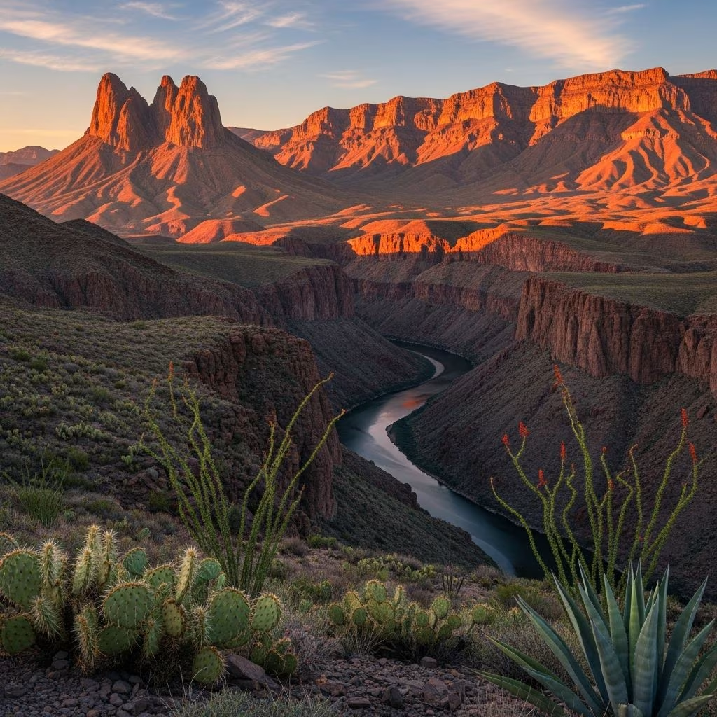
Big Bend National Park, nestled in the vast Chihuahuan Desert of West Texas, spans over 800,000 acres of dramatic landscapes where mountains rise sharply from the desert floor and the Rio Grande carves deep canyons along the Mexican border. This remote paradise offers a rare blend of desert solitude, forested peaks, and riverine adventures, drawing adventurers seeking untouched wilderness.
Big Bend stands out for its three distinct ecosystems: the arid desert lowlands, the cool Chisos Mountains, and the winding Rio Grande. Elevations range from 1,800 feet along the river to over 7,800 feet at Emory Peak, creating microclimates that support over 1,200 plant species and 450 bird species. Visitors can transition from scorching desert hikes to shaded mountain trails in a single day, making it ideal for varied outdoor pursuits.
Fall (October-November) and spring (February-April) deliver mild weather, with highs in the 70s°F and blooming wildflowers. Summers soar above 100°F, challenging but rewarding for early-morning explorers, while winters dip to freezing nights but offer clear skies for astronomy. Avoid holiday weekends to dodge crowds; the park sees about 500,000 visitors annually, mostly concentrated in the Chisos Basin.
| Season | Temps (Day/Night) | Pros | Cons |
|---|---|---|---|
| Spring/Fall | 70-80°F / 40-50°F | Wildflowers, mild hikes | Busier trails |
| Summer | 100+°F / 70°F | Fewer crowds, river floats | Extreme heat |
| Winter | 60-70°F / 30°F | Stargazing, solitude | Cool nights |
Big Bend’s isolation is part of its charm—it’s a 7-hour drive from El Paso or San Antonio. Fly into Midland/Odessa (4 hours away) or El Paso, then rent a car with good clearance for dirt roads. Three entrances: Maverick (west, near Santa Elena), Puerco (east, river access), and Chisos Basin (central). Gas up in Terlingua or Study Butte; no fuel inside the park. Entrance fee: $30/vehicle for 7 days.
Options range from primitive backcountry camping (free permits required) to the historic Chisos Mountains Lodge, the park’s only in-park lodging with rooms, cabins, and a restaurant. Outside, Terlingua Ghost Town offers quirky Airbnbs and glamping. Big Bend Ranch State Park nearby has additional primitive sites. Book lodges 6 months ahead; camping fills weekends.
Big Bend’s roads reveal its grandeur without strenuous effort. The 30-mile Ross Maxwell Scenic Drive from Puerco to Santa Elena Canyon winds past volcanic remnants like Mule Ears Peaks and offers pullouts for short hikes. Pair it with the bumpy Old Maverick Road (high-clearance 4WD recommended, 1-hour for 14 miles) for desert immersion. River Road East hugs the Rio Grande for 20 miles of solitude.
Santa Elena Canyon, at Ross Maxwell’s end, is a must: a 1.5-mile roundtrip hike into sheer 1,500-foot limestone walls. Dawn or dusk lighting enhances the drama.
With 150+ miles of trails, Big Bend caters to all levels. Focus on Chisos for mountains, desert for aridity, river for flat paths.
Carry 3+ liters water/person, trek poles, and check for flash flood risks. Ranger programs enhance hikes with ecology insights.
The Rio Grande defines Big Bend’s border, inviting canoeing, kayaking, and rafting. Half-day floats through Santa Elena (8 miles) or Mariscal Canyon showcase limestone cliffs and possible bighorn sheep sightings. Permits needed for unguided trips over 9 days; outfitters like Big Bend River Tours handle logistics ($100-200/person).
For a cultural twist, cross to Boquillas, Mexico via rowboat ($5 RT) or footbridge. Stroll the dusty streets, enjoy handmade tacos, and browse crafts—passport required, return same day.
Spot javelinas, roadrunners, 75 mammal species, and rare black bears in the Chisos. Birders tally 450+ species, including Colima warblers. Night skies rank among the darkest worldwide; join star parties or stargaze from Grapevine Hills.
Enter via Ross Maxwell, hike Santa Elena Canyon, detour to Chisos for Window View Trail and lunch. 8-10 hours driving/hiking.
Add backcountry roads (Old Ore to Ernst Tinaja), river paddle, and South Rim overnighter.
Yes, with easy trails and scenic drives, but heat and remoteness require preparation for kids.
Paved roads yes; dirt roads need high-clearance.
Rare in Chisos; use food storage lockers.
Santa Elena, The Window, Mule Ears at sunset.
Limited; download maps.
Human impact threatens this pristine park—stick to trails, support conservation. Neighboring Big Bend Ranch State Park expands the adventure across 300,000 acres.
