

 Travel Essentials
 Travel Essentials

Comprehensive guide to navigating Boston via MBTA subway, buses, commuter rail, ferries, Silver Line, bikeshares, and airport links for efficient travel.
 Travel Essentials
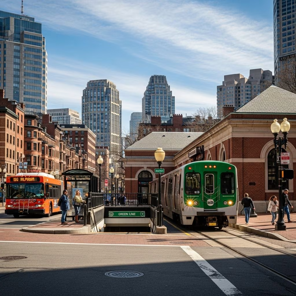
Boston’s public transportation network, primarily operated by the Massachusetts Bay Transportation Authority (MBTA), commonly called the “T,” provides reliable access to the city’s historic sites, vibrant neighborhoods, and surrounding areas. This system includes subways, buses, trolleys, ferries, and commuter rail, serving Greater Boston and beyond with affordable fares starting at $2.40 for a one-way subway ride.
The MBTA connects nearly every corner of the region, originating from the first subway in North America opened in 1897 under Tremont Street. Today, it features four main subway lines—Red, Orange, Green, and Blue—that converge at key downtown spots like Downtown Crossing, alongside buses, the Silver Line rapid-transit bus, ferries from the Downtown Waterfront, and extensive commuter rail.
Children 11 and under ride free on the T, and reusable CharlieCards or CharlieTickets are available at station vending machines or stores for contactless payments. Operating hours generally run from 5 a.m. to midnight, with schedules subject to service changes.
Boston’s subway, the T, is the backbone for quick downtown travel. Here’s a breakdown:
Key transfer hubs include Downtown Crossing (Red/Orange/Green/Blue convergence) and South Station. Use station signage and apps for real-time updates.
Buses fill gaps in subway service, with nine routes (e.g., 4, 7, 11, 43) serving downtown alongside the Silver Line. The Silver Line offers free service from Logan Airport terminals to South Station, with stops at 600 Washington Street and 26 Temple Place. It’s a bus rapid-transit option extending subway reach.
| Route | Main Coverage | Key Stops |
|---|---|---|
| Silver Line SL1 | Airport to South Station | Logan Terminals, Downtown Crossing |
| Bus 7 | Downtown to City Point | Washington St, South Boston |
| Bus 11 | Harvard to Kenmore | Central Square, Longwood |
Fares match subway at $2.40; passes available for frequent use.
For excursions beyond the city, Commuter Rail links Boston to Eastern Massachusetts and Rhode Island. One-way fares range from $2.40 to $13.25 based on zones; options include $11 one-day Zone 1A passes or $10 unlimited weekend passes. Lines serve suburbs like Salem, Providence, and Worcester.
Popular Routes:
Maps available online for planning.
MBTA ferries depart from the Downtown Waterfront, offering routes to Hull and Hingham. They provide stunning harbor views, complementing land-based transit. Fares align with T pricing; check seasonal schedules.
BLUEbikes, with over 1,000 bikes at 100+ stations in Boston, Cambridge, Brookline, and Somerville, enables short hops. Download the app for unlocks; daily passes suit visitors. Protected lanes enhance safety.
From Logan International Airport (BOS):
Avoid taxis/rideshares ($25-35) for cost savings.
Use CharlieCard for reduced fares and tap-and-go. Key options:
| Option | Cost | Details |
|---|---|---|
| Single Ride | $2.40 | Subway/bus/ferry |
| 1-Day LinkPass | $11 (Zone 1A) | All modes |
| Weekend Unlimited | $10 | Commuter Rail |
Buy at stations or via MBTA app.
Download the MBTA app for maps, alerts, and trip planning. Stations feature clear signage; staff assist. Peak hours (7-9 a.m., 4-6 p.m.) are crowded—stand clear of doors. Accessibility: Elevators at major stops.
Service disruptions occur; check real-time info. Kids free; seniors/discounted fares with ID.
Back Bay/Fenway: Green Line D to Kenmore.
North End/Seaport: Silver Line or Blue to Aquarium.
Cambridge: Red Line to Harvard/MIT.
Charlestown: Green to North Station, walk.
Public transit cuts emissions vs. driving/parking ($20-40/day). Combine with walking Boston’s compact layout.
Take the free Silver Line SL1 bus to South Station (20 minutes) or free shuttle to Blue Line Airport station then subway.
$11 LinkPass covers subway, bus, trolley, ferry in Zone 1A.
Yes, children 11 and under on all MBTA services.
Generally yes until midnight; stick to well-lit stations and groups.
MBTA website, app, or station booths.
Integrate MBTA with walking tours for history (Freedom Trail via Green/Orange) or sports (Fenway via Green). For groups, passes maximize value.
Boston’s T transforms chaotic traffic into structured adventure, from airport arrival to suburban escapes.
