

 Travel Essentials
 Travel Essentials

Discover essential strategies for hiking Camelback Mountain's Echo Canyon and Cholla trails, from preparation and best times to safety measures and panoramic rewards in Phoenix's urban desert.
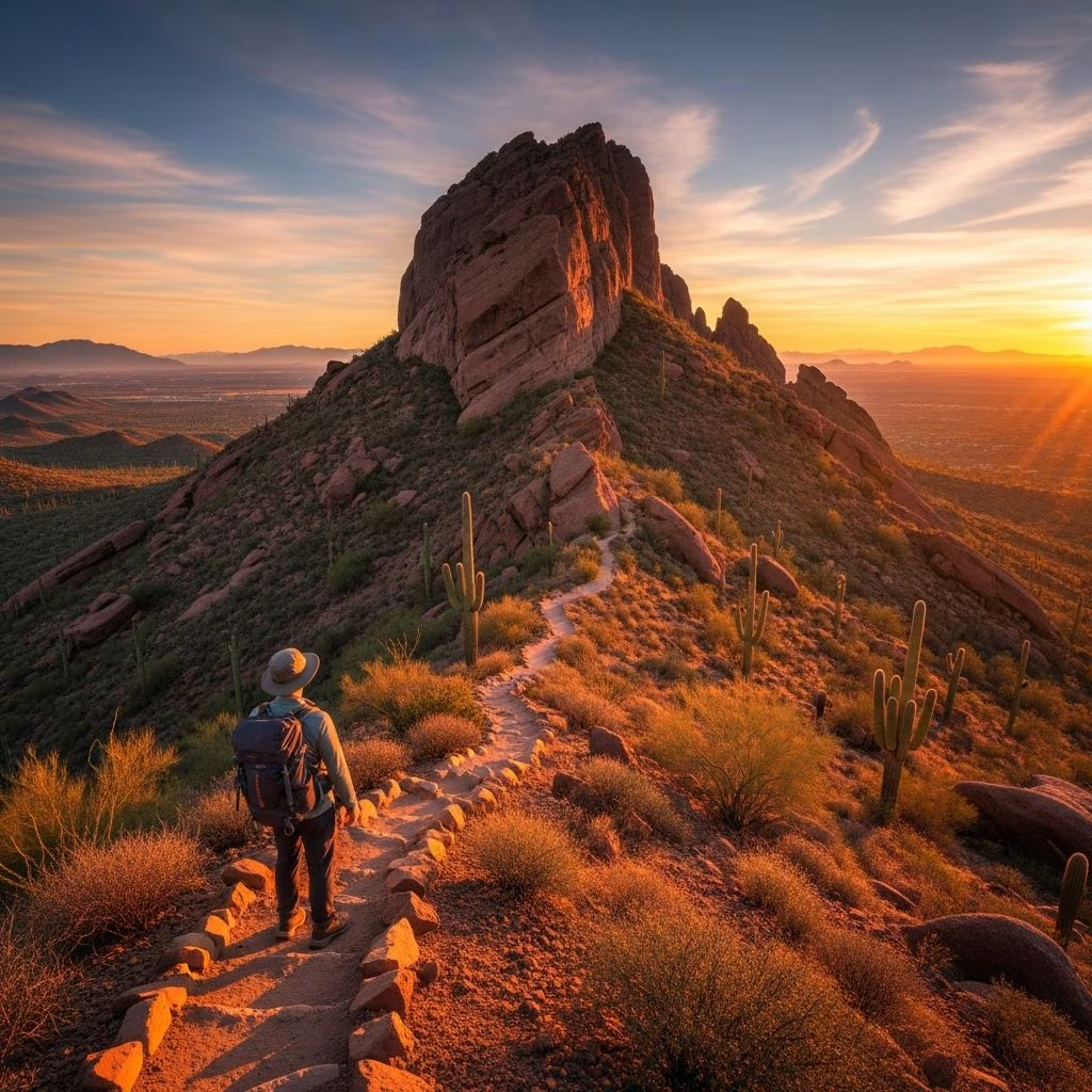 Travel Essentials
Camelback Mountain stands as Phoenix’s most prominent landmark, offering hikers a rigorous ascent to 2,707 feet with sweeping vistas of the city and surrounding ranges. This guide equips you with everything needed to tackle its demanding paths successfully.
Rising sharply from the desert floor, Camelback Mountain’s distinctive hump-like profile dominates the Phoenix skyline, visible from nearly everywhere in the Valley of the Sun. At 2,704 to 2,707 feet elevation, it claims the title of the area’s highest peak, drawing thousands annually for its blend of physical challenge and scenic payoff. The mountain’s accessibility—just 20 minutes from downtown Phoenix and near Sky Harbor Airport—makes it ideal for locals and tourists seeking an intense yet rewarding outing.
Two primary routes lead to the summit: Echo Canyon Trail from the west and Cholla Trail from the east. Both demand fitness, caution on rocky sections, and respect for the arid environment, but they deliver unparalleled 360-degree panoramas, including urban sprawl, distant mountains, and vast Sonoran Desert expanses.
Selecting the right trail depends on your experience, fitness level, and crowd tolerance. Here’s a detailed comparison:
| Feature | Echo Canyon Trail | Cholla Trail |
|---|---|---|
| Distance (Round Trip) | 2.5 miles | 3.1 miles |
| Elevation Gain | 1,300-1,540 feet | 1,540 feet |
| Difficulty | Extremely steep, technical scrambling | Longer but steadier incline, less technical |
| Time Estimate | 2-3 hours | 2.5-4 hours |
| Crowds | Very high | Moderate, more scenic |
| Best For | Experienced hikers seeking intensity | Beginners with good fitness, solitude seekers |
Echo Canyon starts at 1,400 feet and quickly escalates with hand-over-hand boulder scrambles, making it a test of agility and nerve. Cholla offers a gentler start before ramping up, providing better footing for those wary of vertical climbs.
Avoid summer hikes due to extreme heat exceeding 100°F, which causes frequent rescues. Optimal seasons are winter, spring, and fall, with cooler mornings ideal. Start at sunrise—around 6-7 AM—to beat crowds, heat, and secure parking. Trails close at 4:45 PM in summer and later otherwise; aim to descend by early afternoon.
Success begins with planning. Check weather via official apps, as winds and sudden storms can arise. Phoenix Parks and Recreation manages the area; review trail status online.
Parking Logistics: Echo Canyon lot fills by 7 AM; arrive by 5:30 AM on weekends. Overflow street parking is limited. Cholla has more space but still crowds early. Ride-sharing or shuttles work from nearby resorts.
Fitness Check: Train with stair climbs or inclines. The relentless gain—over 1,300 feet—taxes legs and lungs. Beginners should build endurance first.
Pack light but smart for the exposed terrain. Water is non-negotiable: 2-3 liters per person minimum, more in heat.
Leave no trace: pack out all waste.
From the trailhead, follow wide paths through saguaro groves. At 0.5 miles, the incline sharpens into switchbacks. Mile 1 brings the infamous saddle scramble—use hands on red sandstone, watch for loose rocks. Summit prayer flags mark victory.
This east-side path winds gently at first, past cacti and ocotillo. Post-mile 1, stairs and ramps lead to steeper sections. Final quarter-mile resembles Echo’s scramble but with railings in spots. Less crowded, more photo ops.
Both converge at the top; descend carefully to avoid slips.
Accidents occur daily from falls, heat exhaustion, or overconfidence. Key rules:
Cell service is spotty; carry backup comms. Rangers patrol but can’t reach everywhere fast.
The payoff? Jaw-dropping views: Phoenix sprawl, McDowell Mountains, Four Peaks, even Superstitions on clear days. Spot hawks, lizards; wildflowers bloom seasonally. Post-hike, refuel at nearby eateries like those in Arcadia or Scottsdale.
No, it’s rated extremely difficult. Opt for easier hikes like Piestewa Peak first or join a guided tour.
Echo Canyon: steeper, more scrambling. Cholla: longer but navigable.
At least 1 liter per hour; 2-3 liters total recommended.
Yes, leashed, but the terrain challenges most pets.
Check Phoenix Parks site; closures for weather, maintenance.
Combine with nearby hikes like North Mountain. Night hikes require permits and experience. Track progress with apps; join local groups for camaraderie. Respect closures protecting wildlife.
Camelback tests limits but forges memories. Prepare thoroughly, hike smart, and claim your summit triumph.
