

 Travel Essentials
 Travel Essentials

Explore the Columbia River Gorge's epic landscapes, from Multnomah Falls to Hood River adventures, with tips for hiking, driving, and local gems just east of Portland.
 Travel Essentials
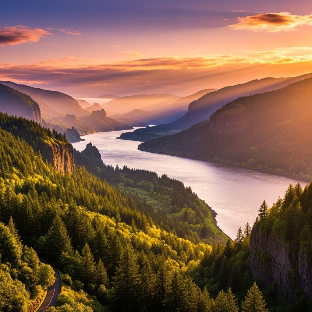
The Columbia River Gorge stands as one of the most breathtaking natural features in the United States, carving a dramatic 80-mile path through basalt cliffs between Oregon and Washington. This National Scenic Area, reaching depths of 4,000 feet, transforms from lush, waterfall-draped forests in the west to arid eastern plateaus, offering endless opportunities for outdoor enthusiasts and casual visitors alike. Just 30 minutes from Portland, it’s an ideal spot for day trips or extended explorations packed with hikes, scenic drives, and cultural discoveries.
Formed by massive volcanic activity and glacial forces millions of years ago, the Gorge showcases towering cliffs, spires, and ridges that frame the mighty Columbia River. Western sections burst with temperate rainforest vibes, where over 90 waterfalls plunge from heights, fed by rainfall and snowmelt. As you travel east, the terrain shifts to sunnier, drier high desert, with wildflower meadows and sweeping vistas of Mount Hood and Mount Adams. This transition creates a playground for diverse activities year-round, from spring wildflower hikes to summer wind sports.
No visit is complete without cruising the iconic roads that hug the Gorge’s edges. The Historic Columbia River Highway, America’s oldest scenic highway opened in 1915, winds through tunnels and overlooks with jaw-dropping panoramas of cliffs and cascades. For less traffic, Washington’s Highway 14 offers parallel beauty with pullouts at every turn.
Start from Portland via Interstate 84 eastbound, detouring onto the old highway for Waterfall Alley. Key stops include Crown Point’s Vista House, perched 733 feet above the river for 270-degree sights, and the Portland Women’s Forum Viewpoint for framed Gorge gazes. Further east, the Rowena Crest Overlook reveals a horseshoe curve with Mt. Hood looming large.
| Route | Length | Highlights | Best For |
|---|---|---|---|
| Historic Columbia River Hwy (OR) | ~30 miles (west section) | Waterfalls, Vista House, tunnels | Car sightseeing, short hikes |
| Highway 14 (WA) | Full Gorge span | Cape Horn, Beacon Rock, fewer crowds | Biking, relaxed drives |
| Hood River Fruit Loop | 38 miles | Orchards, wineries, Mt. Hood views | Foodies, cyclists |
| Mosier Twin Tunnels | 4.5 miles | Restored rail tunnels, river overlooks | Biking, easy walks |
Hiking defines Gorge adventures, with over 100 trails weaving through old-growth forests, basalt columns, and wildflower fields. Trails access the Pacific Crest Trail and offer rewards like hidden grottos or summit panoramas.
Always check for closures—Eagle Creek reopened post-2017 fire but monitor USDA Forest Service updates. Pack layers, water, and Trek poles for uneven terrain.
Home to nearly 100 named falls, the Gorge’s “Waterfall Corridor” clusters dozens along a 10-mile stretch. Multnomah Falls, Oregon’s tallest at 620 feet, draws millions annually—bypass crowds via the 2.2-mile loop trail to the top or Benson Bridge viewpoint.
Nearby gems include Bridal Veil Falls (easy 0.6-mile path), Wahkeena Falls (picnic spots), and Horsetail Falls (swimming hole in summer). On the WA side, Falls Creek Falls drops 300 feet into a misty pool. String several into a full-day itinerary via car or e-bike.
This former Watlala village charms with riverfront vibes. Rent e-bikes at Bike the Gorge for the car-free State Trail section, sip craft brews at Thunder Island Brewing overlooking the water, and explore the Marine Park campground near PCT access. Don’t miss the Cascade Locks Historical Museum ($4 entry) featuring the Oregon Pony locomotive.
Nicknamed the “Windsurfing Capital,” Hood River buzzes with kitesurfing lessons on the river. Pedal the Fruit Loop through 30+ farms, u-pick orchards, and 20 wineries. Downtown pufferies like pFriem Family Brewers and eateries serve farm-fresh fare. Mt. Hood looms for nearby skiing or hiking.
Eastern gateway boasts the Columbia Gorge Discovery Center (interactive exhibits on Native history, geology), Fort Dalles Museum (oldest in OR), and Neon Sign Museum. Stroll the riverwalk for fishing or wind sports, then dine at Cousins’ Restaurant. Rowena Crest nearby for wildflowers.
Spring (Mar-May): Wildflowers explode on Dog Mountain; waterfalls peak.
Summer (Jun-Aug): Windsurf in Hood River; heat east side (100°F+).
Fall (Sep-Nov): Fruit harvest, golden larches; fewer crowds.
Winter (Dec-Feb): Ice climbing Multnomah; snowy hikes west.
Tips: Use Recreation.gov for permits; pack bear spray; cell service spotty—download maps. Camp at state parks or glamp at Under Canvas. Portland Spirit cruises offer water views.
Allow 2-4 days for west-to-east drive, hikes, and towns; day trips cover Waterfall Alley.
Spring for max flow; visit midweek to avoid crowds at Multnomah.
Yes—Mosier Tunnels (flat, paved) or Fruit Loop rentals in Hood River.
OR for waterfalls; WA for quieter hikes like Beacon Rock.
Leashed dogs ok on many (Latourell, Beacon Rock); check Eagle Creek restrictions.
