

 Travel Essentials
 Travel Essentials

A wilderness trek at the edge of the world: 4–5 days of rugged Patagonian terrain, dramatic peaks, and self-supported adventure.
 Travel Essentials
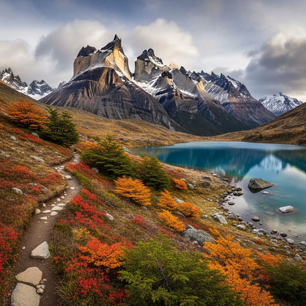
The Dientes de Navarino Circuit stands as the southernmost hiking trail on Earth, weaving through the untamed wilderness of Isla Navarino in Chile’s Tierra del Fuego. This 40-50 kilometer loop demands physical endurance, navigation skills, and respect for extreme weather, offering hikers unparalleled views of jagged peaks, glacial lagoons, and the Beagle Channel.
This trek captivates adventurers with its raw, untouched beauty. Unlike more commercialized Patagonian routes, it remains a true wilderness experience with no huts or resupplies, requiring self-sufficiency in food and shelter. The ‘Teeth of Navarino’—sharp, tooth-like spires—dominate the skyline, framing southern beech forests, peat bogs, and alpine passes up to 865 meters high.
Hikers report a profound sense of isolation, amplified by the low tree line around 500 meters, creating high-mountain illusions at modest elevations.
Isla Navarino lies across the Beagle Channel from Argentina’s Ushuaia, in Chile’s Magallanes Region. Puerto Williams, the world’s southernmost town, serves as the gateway—a quaint naval base with basic amenities.
| Access Option | Details | Duration/Cost Estimate |
|---|---|---|
| Ferry from Punta Arenas | Yecapasala ferry; seasonal schedules | 30 hours; ~$100 USD |
| Flight from Punta Arenas | Aerovías DAP; scenic over straits | 1 hour; ~$150 USD round-trip |
| From Ushuaia | Private boat transfer | 4-6 hours; variable |
From Puerto Williams, the trailhead at Río Róbalo or Cascada is 3-5 km away—walkable or by taxi. Allow buffer days for weather delays.
The standard route forms a circuit, typically 4-5 days for safety. Total distance: ~42 km; elevation gain: ~3,400 m. Adjust for fitness, but rushing increases risks in variable conditions.
Begin at Río Róbalo trailhead. Ascend steeply through lenga beech forest to **Cerro Bandera**, marked by a giant Chilean flag and sweeping Beagle Channel vistas. Traverse open scree above the valley to camp at Laguna Salto, a serene alpine lake.
Tackle **Paso Australia (776 m)** and **Paso de las Dientes (865 m)**—the trek’s high points. Navigate snowfields (possible even in summer), rocky ledges, and wind-exposed ridges. Descend to campsites near glacier-fed lakes with potential Southern Ocean views.
Plunge into a surreal plateau of lakes, forests, and beaver dams (castoreras). Follow faint paths amid the Dientes’ dramatic backdrop, crossing streams and boggy terrain to a midpoint camp.
The toughest day: scramble over unstable rocks at Rocallosa Lagoon, ford beaver obstacles, and ascend to moonscape-like slopes toward **Paso Virginia (850 m)**. Exposed and pathless sections demand caution.
From high passes like Paso Ventarrón, descend through valleys with pure creek water sources. Re-enter forests, skirt peat bogs, and return to town, passing optional side trips like Cerro Bettinelli.
Pack light yet robust for wet, windy conditions. Weight under 15-18 kg ideal.
Water from streams/lakes is potable but treat advised.
Tierra del Fuego’s climate is notoriously fickle: summer (Dec-Feb) highs 10-15°C, but passes see gale-force winds, rain, and snow year-round. Hyperthermia risk low; hypothermia high.
Register intent at Carabineros in Puerto Williams. Solo trekkers: inform locals.
Encounter southern beech (lenga, ñirre), Magellanic woodpeckers, and guanacos. Beaver invasions have created dams, altering hydrology—both nuisance and scenic. Peaks like Picacho de los Dientes offer optional summits.
No—it’s wilderness with no facilities, demanding fitness and skills.
4-5 days standard; faster possible but risky.
No formal permit, but register with authorities.
Yes, for 7-day packages from Punta Arenas.
Paso de las Dientes at 865m or Paso Virginia ~850m.
| Weeks Before | Actions |
|---|---|
| 8-12 weeks | Build endurance with weighted hikes. |
| 4-6 weeks | Test gear; download GPX. |
| 1-2 weeks | Book transport; acclimate in Punta Arenas. |
| On-site | Buy gas/food; weather check. |
This trek tests limits while rewarding with Earth’s edge solitude. Prepare meticulously for an unforgettable Patagonia odyssey.
