

 Travel Essentials
 Travel Essentials

Explore geotagging fundamentals, tools, privacy tips, and apps to embed GPS data in travel photos, turning snapshots into interactive journey maps.
 Travel Essentials
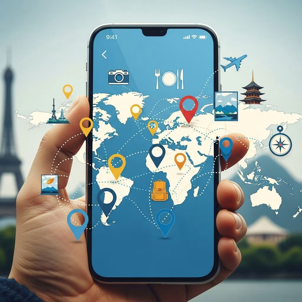
Geotagging transforms ordinary travel photos into dynamic records of your explorations by embedding precise location data directly into image files. This technology allows you to relive journeys on interactive maps, streamline photo sorting, and enrich social shares with contextual depth.
At its core, geotagging relies on Global Positioning System (GPS) satellites to determine latitude, longitude, and altitude coordinates. Devices capture these via built-in receivers, often augmented by Wi-Fi signals or cell tower data for better indoor accuracy. This metadata, stored in EXIF standards within photos, enables software to plot images on maps automatically.
Travelers benefit immensely: forgotten landmarks become rediscoverable, albums self-organize by route, and narratives gain authenticity. For instance, a snapshot from a remote hike pins exactly where the vista unfolded, bridging memory gaps years later.
Modern smartphones handle geotagging natively, but dedicated tools elevate precision, especially for professional cameras without GPS.
Choose based on needs: casual users stick to free mobile options, while enthusiasts invest in loggers for offline reliability.
This workflow ensures 100% coverage, even in signal-poor areas if pre-logged.
While powerful, geotagging exposes exact positions, potentially revealing home addresses or routines via photo metadata. Social platforms strip it automatically, but raw files shared directly do not.
| Risk | Impact | Mitigation |
|---|---|---|
| Stalking | Trackers pinpoint routines | Strip EXIF before sharing (use tools like ImageOptim) |
| Burglary | Absence signals via travel posts | Delay geotagged shares; use geofencing alerts |
| Data Harvesting | Apps sell location history | Review app policies; opt for offline modes |
Pro tip: Geofence GPS trackers notify if gear leaves safe zones, aiding theft recovery during trips.
Geotagging extends to journaling apps, social feeds, and navigation. Instagram’s location tags boost discoverability; Google Maps layers personal pins for custom guides.
Marketing leverages it too: brands target ads by geotagged check-ins, refining regional campaigns.
For pros, calibrate devices pre-trip: update firmware, test accuracy against known points. Combine with altimeters for elevation data, vital in mountains.
Post-processing shines: Lightroom’s map module auto-matches logs, corrects drifts. Batch-apply to thousands of images in minutes. Export as KML for Google Earth flyovers, visualizing hikes dynamically.
Offline challenges? Pre-download maps in apps like GPS Camera, ensuring functionality in remote zones.
Avoid these traps:
AR overlays promise live map annotations; AI will auto-tag ambiguous shots via visual cues. Integration with wearables evolves, predicting paths proactively.
By 2026, expect ubiquitous adoption as 5G enhances hybrid positioning. Travelers gain hyper-personalized experiences, from AI-curated scrapbooks to real-time friend tracking.
It’s embedding GPS coordinates (latitude/longitude) into media files for location mapping.
Capture requires signal, but loggers store data for later sync; apps with offline maps help.
Yes, with precautions like metadata stripping and delayed posts to avoid real-time tracking.
GPS Map Camera offers robust features without cost on Android/iOS.
Absolutely—manually via map drop or GPX import in desktop apps.
| App/Tool | Platform | Key Feature | Cost |
|---|---|---|---|
| GPS Map Camera | Android/iOS | Live stamps, maps | Free/Premium |
| Geotag Photos Pro | Desktop | Map selection | Free basic |
| HoudahGeo | Mac | GPX sync | Paid |
| Garmin eTrex | Hardware | Offline logging | Hardware cost |
