

 Travel Essentials
 Travel Essentials

Comprehensive guide to hiking Glyndŵr's Way: 135-mile trail from Knighton to Welshpool. Covers itineraries, preparation, highlights, accommodations, and tips for success.
 Travel Essentials
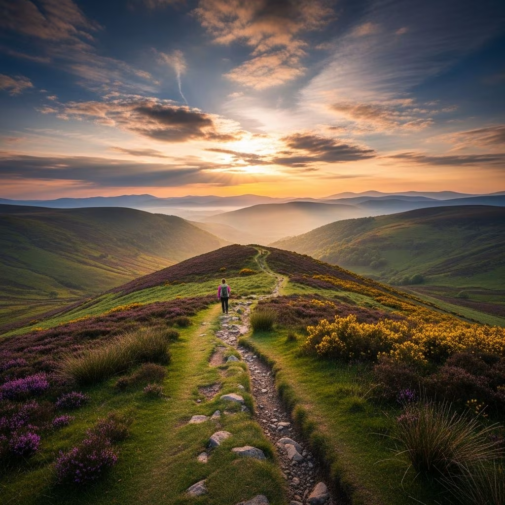
Immerse yourself in the serene and rugged landscapes of Mid-Wales along **Glyndŵr’s Way**, a 135-mile National Trail that winds from Knighton to Welshpool via Machynlleth. Named after the legendary Welsh leader Owain Glyndŵr, this path offers solitude, stunning vistas, and a deep connection to Welsh history.
This trail stands out for its remoteness, making it one of Wales’ quietest long-distance paths. Expect rolling hills, ancient woodlands, moorlands, reservoirs, and glimpses of wildlife like red kites and peregrine falcons. Suitable for fit walkers, it typically takes 9-12 days, with daily stages of 11-18 miles. The route avoids crowded tourist spots, providing peaceful immersion in nature and history.
Glyndŵr’s Way honors Owain Glyndŵr, who led a rebellion against English rule in the early 15th century, briefly establishing Welsh independence. The path passes sites linked to his campaign, blending physical challenge with cultural exploration. From farmland to open hill country, it showcases the ‘gentleness of Montgomeryshire’—a poetic nod to the area’s tranquil contours.
Success on this remote trail demands thorough planning. Train with long hikes carrying a pack, build endurance for 2,000-3,000 feet of daily ascent, and check weather forecasts as conditions change rapidly. Pack layers, waterproof gear, and navigation tools like OS maps or GPS apps.
This itinerary covers the full 135 miles in manageable stages, allowing rest and flexibility. Distances and ascents are approximate based on standard routes.
| Day | Start to Finish | Distance (miles/km) | Ascent (ft/m) | Highlights |
|---|---|---|---|---|
| 1 | Knighton to Felindre | 15 / 24 | 1,444 / 440 | Farmland, moorland transition, Shepherds Country Inn. |
| 2 | Felindre to Abbeycwmhir | 16 / 26 | 1,500 / 457 | Radnorshire hills, wild valleys. |
| 3 | Abbeycwmhir to Llanidloes | 15.5 / 25 | 1,152 / 351 | Forests, remote tracks, historic market town. |
| 4 | Llanidloes to Dylife | 14.5 / 23 | 1,004 / 306 | Woodlands, industrial heritage sites. |
| 5 | Dylife to Machynlleth | 13 / 21 | 1,200 / 366 | Reservoirs, hill views, trail midpoint. |
| 6 | Machynlleth to Llanbrynmair | 16 / 25.5 | 863 / 263 | Snowdonia borders, rolling hills. |
| 7 | Llanbrynmair to Llangadfan | 11 / 18 | 1,227 / 374 | Cwm Nant yr Eira valley, steady climbs. |
| 8 | Llangadfan to Meifod | 14 / 22.5 | 1,100 / 335 | Forested paths, river valleys. |
| 9 | Meifod to Llanfyllin | 12 / 19 | 900 / 274 | Open countryside, quaint villages. |
| 10 | Llanfyllin to Welshpool | 13.5 / 21.7 | 800 / 244 | Final descent to market town finish. |
Adjust paces for fitness; add rest days in Llanidloes or Machynlleth. For a circular route, extend with 28-29 miles along Offa’s Dyke Path.
The trail dazzles with diverse terrain:
Detour to reservoirs or ancient woodlands for added immersion.
Options are sparse due to remoteness; book ahead via B&Bs, inns, campsites, or guided holidays. Key stops:
Public transport links endpoints; luggage transfer services available. Budget £50-80/night for lodging.
Pack light (under 30 lbs) for comfort:
Mid-Wales weather is unpredictable—rain, wind, fog common. Monitor Met Office forecasts. Navigation relies on fingerposts, but carry backups; stiles and gates frequent. Watch for livestock, ticks; inform someone of plans. Emergency: 999.
Spot red kites soaring overhead, buzzards, falcons. Moorlands host ponies, sheep; forests teem with birds. Respect habitats—stick to paths.
Complete the horseshoe by adding Offa’s Dyke segments (Knighton-Machynlleth), totaling 160+ miles. Enhances with border history.
| Category | Estimated Cost (per person) |
|---|---|
| Accommodation (10 nights) | £500-800 |
| Food | £200-300 |
| Transport | £50-100 |
| Gear Rental | £100 (optional) |
| Total | £850-1,300 |
Self-supported cheapest; guided packages from £485.
No, its length and remoteness suit experienced hikers with good fitness.
Moderate: hills, stiles, uneven paths; total ascent ~20,000 ft.
Yes, on lead; check accommodation policies.
Possible for strong walkers, but not recommended for safety.
Cicerone guidebook or OS Explorer 1:25,000 series.
Leave no trace: pack out waste, support local businesses, avoid disturbing wildlife. Trail upkeep by volunteers—consider donating.
