

 Travel Essentials
 Travel Essentials

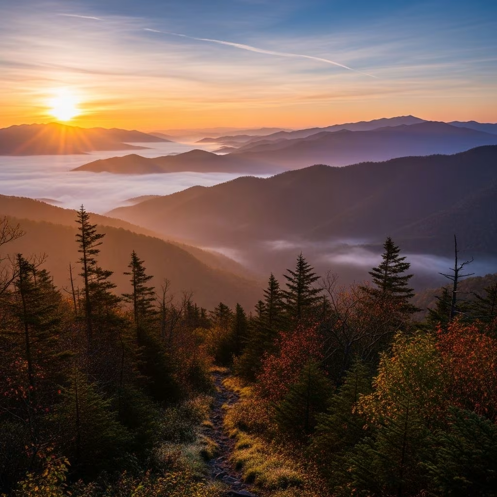
Explore Great Smoky Mountains National Park: top trails, scenic roads, wildlife spots, and planning essentials for an unforgettable trip.
 Travel Essentials
Great Smoky Mountains National Park stands as a crown jewel among America’s protected lands, drawing millions of visitors each year with its ancient peaks, lush forests, and rich biodiversity. Spanning over 522,000 acres across Tennessee and North Carolina, this park offers endless opportunities for outdoor enthusiasts, families, and nature lovers alike. Whether you’re chasing waterfalls, summiting peaks, or simply soaking in panoramic views, the Smokies deliver unparalleled natural beauty.
The allure of the Great Smoky Mountains lies in its diversity. Home to more plant and animal species than any other U.S. national park, it features old-growth forests, sparkling streams, and elusive wildlife like black bears and elk. The park’s accessibility—no entrance fee and free parking tag for short stays—makes it ideal for spontaneous trips. Yet, its vast trail network and scenic byways ensure there’s always something new to discover, even for repeat visitors.
Accessing the Smokies is straightforward, with major gateways facilitating easy entry. The primary entrances include the Sugarlands Visitor Center near Gatlinburg, Tennessee, and the Oconaluftee Visitor Center near Cherokee, North Carolina. These hubs provide maps, ranger advice, and exhibits on park history.
Fly into McGhee Tyson Airport in Knoxville (about 70 minutes from Gatlinburg) for the quickest access. Asheville Regional Airport offers another convenient option, roughly 80 minutes away. A personal vehicle is essential, as no public transit operates within the park. Secure a parking tag via Recreation.gov for stays over 15 minutes during peak season (March-November).
| Airport | Drive Time to Park | Distance |
|---|---|---|
| Knoxville (TYS) | 70 min | 40 miles |
| Asheville (AVL) | 80 min | 58 miles |
| Charlotte (CLT) | 3 hours | 170 miles |
Driving through the Smokies is an experience in itself, with winding roads revealing misty ridges and verdant valleys. Newfound Gap Road, a 29-mile paved route from Gatlinburg to Cherokee, is the park’s spine, offering pullouts for photos, trailheads, and the state line viewpoint at 5,046 feet.
Cades Cove Loop, an 11-mile one-way road in the park’s west, is legendary for wildlife sightings—deer, bears, and turkeys often graze roadside. Open only to bikes and licensed vehicles before 10 a.m. on weekends, it avoids midday crowds. Roaring Fork Motor Nature Trail provides a narrower, forested alternative with historic sites and waterfall access.
With over 800 miles of trails, the Smokies cater to every ability. Easy strolls like the Oconaluftee River Trail offer riverside serenity, while strenuous paths challenge avid hikers. Always pack water, snacks, rain gear, and a map—weather changes rapidly.
Mount LeConte, the park’s third-highest peak at 6,593 feet, boasts multiple routes like Alum Cave (5 miles one-way, strenuous). Reward: Cliff Top views and LeConte Lodge, accessible only by foot. Clingmans Dome, the highest point at 6,643 feet, features a paved 0.5-mile ramp to an observation tower piercing the clouds.
For multi-day adventures, tackle the Appalachian Trail’s 71-mile park segment or backcountry campsites (permit required).
The Smokies teem with life, from black bears (over 1,900) to synchronous fireflies in summer. Cades Cove mornings yield deer and bear sightings; Cataloochee Valley hosts elk herds. Oconaluftee offers river otters and beavers at dusk.
Maintain 100-yard distance from bears, 25 yards from other wildlife. Dawn and dusk are prime times; binoculars enhance distant views without disturbance.
Step back in time at preserved settlements. Cades Cove features 19th-century cabins, a tabernacle, and gristmill. Mingus Mill at Oconaluftee demonstrates water-powered grain grinding. Noah ‘Bud’ Ogle Place showcases log construction and Appalachian farm life.
Tubing on the Little River provides summer thrills. Horseback riding at Cades Cove, Smokemont, or Sugarlands stables lets horses navigate trails. Fishing in park streams requires a license; trout thrive in clear waters.
Spring (April-May) bursts with wildflowers; summer suits waterfalls but crowds peak. Fall (September-October) paints ridges in crimson and gold. Winter quiets trails with possible snowshoeing. Avoid July-August heat; shoulder seasons offer solitude.
| Season | Weather | Highlights | Crowds |
|---|---|---|---|
| Spring | 50-70°F | Wildflowers, waterfalls | Moderate |
| Summer | 70-85°F | Fireflies, tubing | High |
| Fall | 40-70°F | Foliage, fewer bugs | High |
| Winter | 20-50°F | Snow, quiet hikes | Low |
LeConte Lodge offers rustic foot-access stays with meals. Camp at 10 frontcountry sites or 100+ backcountry spots (reservations needed). Nearby, Gatlinburg and Cherokee brim with hotels, cabins, and campgrounds.
Start in Cades Cove: loop drive, Abrams Falls hike (5 miles), picnic. Evening horseback ride.
Drive Newfound Gap Road, summit Clingmans Dome, hike Alum Cave to Mount LeConte. Overnight in Gatlinburg.
Roaring Fork Trail, Rainbow Falls, Oconaluftee history. Depart via Cherokee.
No, but parking tags are required during peak months.
Pets permitted only on two roads and Gatlinburg Trail; not on other trails.
Frontcountry sites require reservations; backcountry needs a permit.
Laurel Falls or Oconaluftee River Trail for easy, scenic walks.
Rare attacks; proper food storage prevents issues.
