

 Travel Essentials
 Travel Essentials

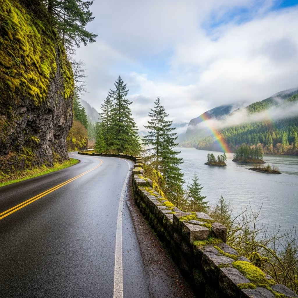
Explore Oregon's Historic Columbia River Highway, America's first scenic byway, with stunning waterfalls, historic sites, and breathtaking Gorge views from Troutdale to The Dalles.
 Travel Essentials
The Historic Columbia River Highway stands as a testament to early 20th-century engineering and natural splendor, carving through the dramatic Columbia River Gorge in Oregon. Spanning about 70 miles from Troutdale near Portland to The Dalles, this All-American Road delivers unparalleled views of basalt cliffs, thundering waterfalls, lush forests, and the mighty Columbia River.
Constructed between 1913 and 1922, the highway pioneered the concept of a scenic drive in the United States, designed specifically to showcase the Gorge’s beauty rather than just provide efficient transit. Visionaries like Samuel Lancaster championed its creation, blending graceful curves, stone viaducts, and tunnels into the landscape. It earned National Historic Landmark status and All-American Road designation in 1998, preserving its original charm amid modern interstates.
Before cars dominated, the Gorge was navigated by sternwheelers and railroads. Cataclysmic Ice Age floods 14,000 years ago sculpted its sheer walls, setting the stage for this engineering feat. Today, sections closed to vehicles have been repurposed into hiking and biking trails, like the 4.4-mile Eagle Creek to Cascade Locks segment.
Begin in Troutdale at Exit 17 off Interstate 84, where the Sandy River marks the Columbia River Gorge National Scenic Area’s boundary. The Gateway to the Gorge Visitor Center in a restored 1907 depot offers maps and exhibits on the area’s ecology and history.
Climb through Corbett to the Portland Women’s Forum State Scenic Viewpoint, your first sweeping panorama of the Gorge—cliffs plunging 900 feet to the river below. Nearby, Crown Point’s Vista House, a 1918 classical temple perched 733 feet above the water, provides 360-degree vistas. Its marble interior and bronze lanterns evoke the road’s grand era.
Descending from Crown Point via original stonework loops, the highway reveals a cascade of waterfalls. Latourell Falls drops 249 feet in two tiers, followed by the iconic Multnomah Falls—the state’s most-visited natural site at 620 feet tall.
A short trail leads behind the falls through Benson Bridge, built in 1914. Shepperd’s Dell Bridge, another stone arch, frames smaller falls in a mossy dell. Spring brings wildflower explosions, with endemic species blooming along trails.
East of Multnomah, the route tunnels through basalt cliffs and skirts Eagle Creek’s lush canyon. Historic tunnels and viaducts highlight masterful construction avoiding steep grades. At Cascade Locks, once a turbulent ‘Great Chute,’ sternwheeler tours now navigate the canalized river.
The Bridge of the Gods toll bridge connects to Washington’s Hwy 14, part of the parallel Columbia River Gorge Scenic Byway. Hikers on the Pacific Crest Trail cross here.
Rejoining at Mosier (Exit 69), bike the Twin Tunnels Trail through restored 1921 tunnels with Gorge overlooks. Rowena Crest viewpoint crowns 900-foot cliffs, showcasing dramatic geology and Tom McCall Preserve’s wildflowers—home to unique Gorge endemics.
The Rowena Loops serpentine down 1,000 feet in tight curves, a favorite for photographers and featured in ads. Nearby, Mayer State Park offers access to this preserved stretch.
For a fuller Gorge experience, cross to Washington’s 47-mile Hwy 14 from Washougal to White Salmon. Thick hemlock forests yield to oak savannas, sage deserts, and golden hills. Beacon Rock State Park features a 1-mile switchback trail to an 800-foot monolith’s summit with river views.
Wind surfers dot the river year-round, and tunnels align with historic rail lines. Stevenson provides amenities; the route crosses Cascade Mountains at low elevation for all-season access.
| Season | Highlights | Tips |
|---|---|---|
| Spring | Wildflowers, peak waterfall flow | Weekdays to avoid crowds |
| Summer | Long days, hiking prime | Early starts; water, sun protection |
| Fall | Foliage colors, fewer visitors | Layered clothing for variable weather |
| Winter | Snowy vistas, icy falls | Chains possible; check closures |
Spring wildflowers and fall colors shine brightest, but waterfalls peak post-rain anytime. Avoid peak summer weekends at Multnomah.
Allow 4-6 hours driving one-way, plus stops. Fuel up in Troutdale or Hooddale; picnic spots abound. Entrance fees apply at Multnomah Lodge parking ($5-10, America the Beautiful Pass accepted).
RVs/trailers: Some sections too curvy; state maps note restrictions. Pets on leash at parks. Cell service spotty; download offline maps.
Most sections yes, but winter closures possible for snow/ice. Check ODOT for updates.
About 70 miles one-way in Oregon; add 47 miles for WA Hwy 14.
Bridge of the Gods ($3-5/car); some OR bridges to WA.
Multnomah to the top (2.2 miles roundtrip, 700-ft gain).
No, but 20+ miles of paved trail parallel vehicles.
The Columbia River Gorge National Scenic Area, established 1986, protects 292,500 acres across OR/WA. Volunteer with Friends of the Columbia Gorge; follow Leave No Trace. Sustainable tourism ensures this ‘King of Roads’ endures.
Whether chasing waterfalls, summiting monoliths, or simply cruising curves, the Columbia River Highway captivates. Its blend of history, geology, and adventure makes it an essential Pacific Northwest journey.
