

 Travel Essentials
 Travel Essentials

Discover the best ways to get around Boston using the MBTA subway (T), buses, commuter rail, bikes, taxis, and more. Save time and money on your visit.
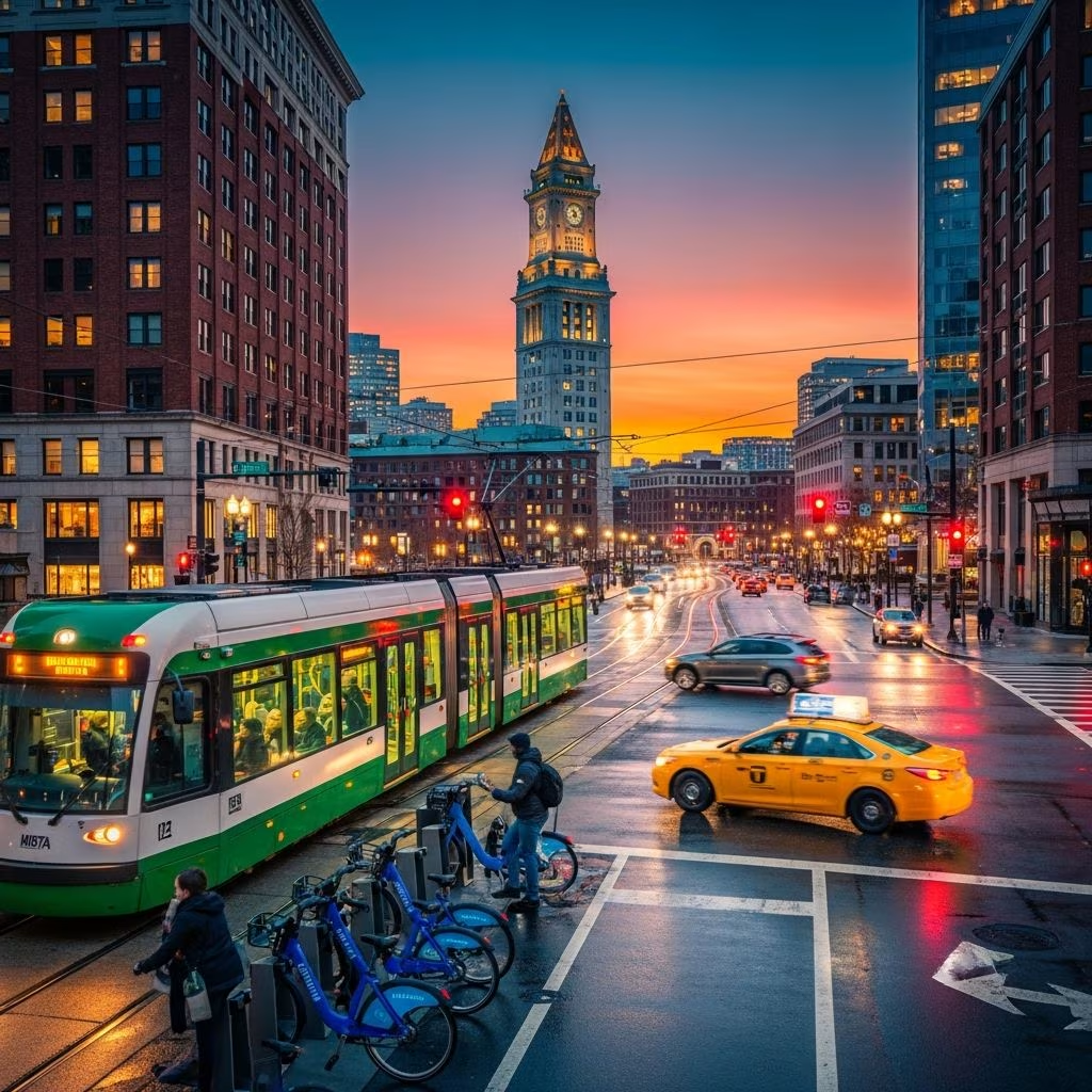 Travel Essentials
Boston’s compact layout and rich history make it ideal for exploration, but its winding streets demand smart transport choices. The Massachusetts Bay Transportation Authority (MBTA), known locally as the “T,” dominates with subway, bus, and rail services that connect key sites efficiently.
The MBTA oversees a vast system including color-coded subways, buses, ferries, and commuter rails, serving Greater Boston and beyond. It operates from early morning until midnight, with free Silver Line buses linking Logan Airport terminals to South Station.
Plan routes using the official MBTA trip-planning tool, which integrates all modes for seamless navigation. Charlie Cards or tickets, available at stations and stores, provide contactless payment for most services.
Boston’s subway, dubbed the “T,” is the fastest way to reach attractions like the Freedom Trail, Fenway Park, and Harvard. Four lines converge downtown:
Fares start at $2.40 for subway/bus; use the app for real-time updates. Downtown hubs like Park Street and Downtown Crossing link multiple lines.
Buses complement the T, with nine routes (4, 7, 11, 43, 92, 93, 501, 504, 505) serving downtown areas. The Silver Line, a bus rapid transit, offers free rides from Logan Airport to South Station, plus Seaport stops.
Ideal for neighborhoods outside subway reach, buses run frequently but check schedules for peak hours.
Extend adventures beyond the city via commuter rail from North and South Stations. North Station handles northside lines to Lowell and coastal Maine via Amtrak Downeaster; South Station covers southside to Providence.
Fares range $2.40-$13.25 one-way, with $11 daily Zone 1A or $10 weekend unlimited passes. Back Bay Station adds options.
| Station | Key Lines | Destinations | Fare Example |
|---|---|---|---|
| North Station | Orange Line, Commuter Rail Northside | Lowell, Portland (Amtrak) | $2.40-$13.25 |
| South Station | Red/Silver, Commuter Rail Southside | Providence, Worcester | $2.40-$13.25 |
| Back Bay | Commuter Rail select | Framingham, Worcester | $11 Day Pass |
Boston’s flat terrain suits walking to sites like Boston Common and Paul Revere’s House. For longer distances, Bluebikes (formerly Hubway) offers dockless bikes citywide.
Rent via app; stations near T stops. Avoid rush hours on busy paths.
Taxis and rideshares like Uber/Lyft cost $25-$35 from Logan to downtown, faster during surges ($10-$35 citywide). Hop-on hop-off trolleys visit 100+ sites including Faneuil Hall and Old North Church, narrated for tourists.
Driving discouraged: narrow streets, one-ways, high parking fees. Rental cars suit outskirts only.
From Logan (BOS), free Silver Line SL1 to South Station (20 mins), then T to anywhere. Massport shuttles or water taxis add variety.
Amtrak at South/North Stations for intercity.
| Mode | Single Fare | Daily Pass | Best For |
|---|---|---|---|
| T Subway/Bus | $2.40 | $11 (Zone 1A) | In-city travel |
| Commuter Rail | $2.40-$13.25 | $10 Weekend | Day trips |
| Bluebikes | $2.50/30min | $5/day | Short hops |
| Rideshare | $10-$35 | N/A | Night/late |
Weekly passes save for multi-day stays.
The T subway or bus at $2.40 per ride; walking for short distances.
Free Silver Line bus to South Station (20 mins), then Red Line.
Yes, core areas like Freedom Trail; use T/bikes for farther spots.
No, public transit and walking suffice; parking expensive.
5am-midnight; reduced weekends.
Snow disrupts service; check alerts. All major stations wheelchair-accessible with elevators.
For 2026 updates, verify MBTA site as expansions continue.
