

 Travel Essentials
 Travel Essentials

Discover efficient ways to travel in Kyoto using public transit, cycling, taxis, and smart passes. From Kyoto Station to Arashiyama and Gion, this guide ensures hassle-free navigation.
 Travel Essentials
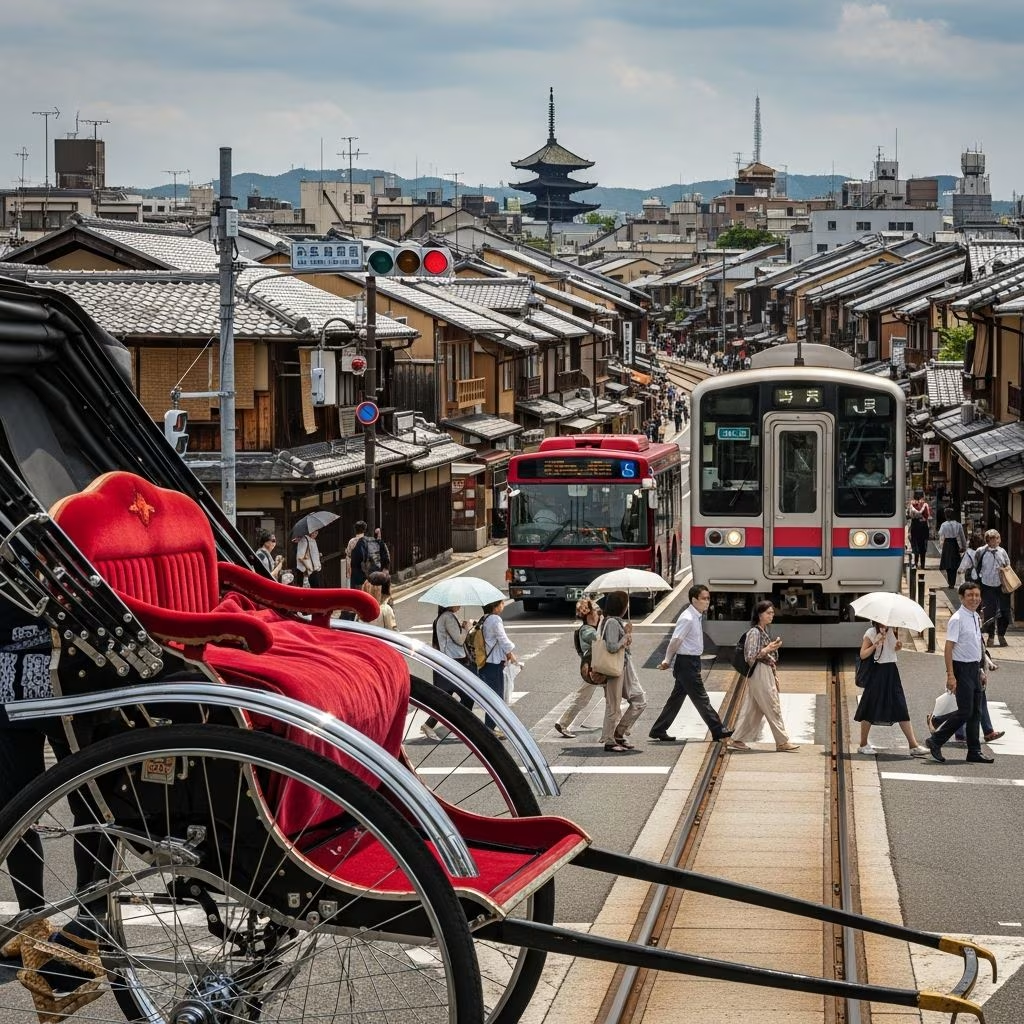
Kyoto’s transport network blends modern efficiency with the city’s ancient charm, making it simple to reach iconic sites like Fushimi Inari Shrine, Kinkaku-ji, and Arashiyama Bamboo Grove. Trains and subways offer speed for longer distances, while buses fill gaps to remote temples, and bikes provide freedom in flat central areas.
Kyoto follows a grid-like street pattern, with east-west avenues numbered from north to south—Shijo-dori is the fourth, Nijo-dori the second—spaced roughly 500 meters apart. North-south routes like Karasuma-dori link Kyoto Station to the Imperial Palace, while the Kamo River marks an eastern boundary about a kilometer away. This setup aids navigation, especially from Kyoto Station, the main gateway handling shinkansen, local trains, subways, and buses.
Central areas around Shijo-Kawaramachi buzz with shops and eateries, serving as ideal bases. Despite its size, Kyoto remains compact and mostly flat, perfect for walking or cycling between nearby attractions. Public transit covers the expanse, though connections between private railways can be tricky.
Trains dominate for quick travel. The JR Kyoto Line connects key spots like Nijo Castle and Arashiyama. Keihan and Hankyu Railways reach Fushimi Inari Taisha and Philosopher’s Path efficiently. From Tokyo, shinkansen options include Nozomi (140 minutes, extra fee with Japan Rail Pass), Hikari (160 minutes), or Kodama (4 hours), with fares around 13,320-14,000 yen one-way.
Private lines like Eizan extend to mountainous areas, ideal for day trips.
Two lines streamline city movement: the Karasuma Line runs north-south along Karasuma-dori from Kyoto Station to Kitaoji, stopping at Shijo and Karasuma-Oike. The Tozai Line crosses east-west, intersecting at Karasuma-Oike for transfers to Higashiyama or Keage Stations.
Subways excel for downtown to Higashiyama routes, avoiding bus crowds. Fares start low, with IC cards like Icoca simplifying payments across trains and buses.
| Route Example | Subway Path | Time |
|---|---|---|
| Kyoto Station to Downtown (Shijo) | Karasuma Line direct | 5-7 min |
| Downtown to Southern Higashiyama | Tozai Line from Karasuma-Oike | 10 min |
| Station to Northern Higashiyama | Karasuma to Tozai at Oike, to Keage | 15 min |
Buses complement trains, accessing sites like Kinkaku-ji and Ryoan-ji unreachable by rail. Kyoto City Bus (green) dominates central routes from Kyoto Station or Shijo-Kawaramachi. Kyoto Bus (red) serves outskirts.
Since June 2024, new timetables boost frequency on loop and main lines, adding EX100/EX101 Rakuraku buses to tourist hotspots for less crowding. Fares are affordable, with frequent service.
Challenges include traffic delays and one-way systems; use route maps or apps.
Maximize value with passes. The Subway & Bus 1-Day Pass (around 1,100 yen) grants unlimited rides on city subways, Kyoto City Bus, plus Keihan/West JR buses (some exclusions). It covers paths to Kiyomizu-dera, Gion, and Ginkaku-ji, with facility discounts.
IC cards (Icoca, Suica, Pasmo) tap for seamless fares on all transit, recommended for mixed use. For multi-day, consider JR Pass for shinkansen/Hikari, but local passes suit city stays. Hop-on hop-off options visit towers and pavilions conveniently.
Kyoto’s flat terrain suits bike rentals, especially Philosopher’s Path, Nishiki Market, or Gion lanes. Stations near Kyoto Station or downtown offer hourly/daily rates; lock securely.
Walking thrives in compact zones—stroll from Gion to Yasaka Shrine or Higashiyama temples. Combine with transit for hybrid trips.
Taxis abound, meter-based, and economical for 3-4 people short hops, sometimes cheaper than buses. Flag from stations or apps like GO/JapanTaxi. Ride-sharing grows but remains limited. Avoid peak hours for traffic.
For luggage, use coin lockers or station services for hands-free travel.
Apps like Hyperdia, Jorudan, or Google Maps plot routes with real-time updates. Kyoto’s bus/subway sites offer English guides. Download IC card apps for balance top-ups. Peak seasons (cherry blossoms, fall foliage) mean earlier starts to beat crowds.
IC cards or 1-day Subway & Bus Pass for unlimited budget travel.
Yes, with 2024 upgrades increasing frequency, though traffic affects schedules.
Yes, alongside Icoca, on trains/buses.
Highly, in central flats; rentals near stations.
JR Nara Line (5 min) or Keihan to Fushimi-Inari Station.
Winter/summer see lighter crowds; rainy seasons favor covered transit. Most stations have elevators; request assistance for wheelchairs. E-bikes aid hills to outskirts.
