

 Travel Essentials
 Travel Essentials

Discover efficient ways to travel Texas by car, bus, train, plane, or bike, with tips on tolls, city transit, accessibility, and scenic routes for every explorer.
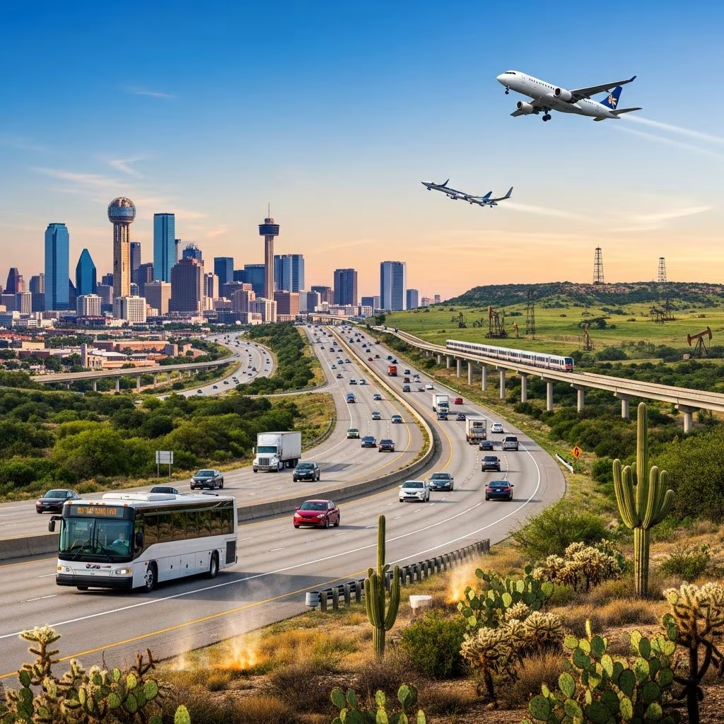 Travel Essentials
Texas, the second-largest state in the U.S., spans over 268,000 square miles, demanding smart transportation choices for visitors and residents alike. From sprawling metropolises like Houston and Dallas to remote gems such as Big Bend National Park, getting around requires planning. This guide details driving, public options, air travel, and more, helping you traverse the Lone Star State efficiently.
Personal vehicles rule Texas roadways due to the state’s immense size and limited public networks. Major cities lack comprehensive transit, making cars essential for flexibility. Expect long hauls: Dallas to Austin takes 3-5 hours, while El Paso or South Padre Island journeys stretch 8-12 hours.
Highways like I-10, I-35, and I-45 connect key hubs. Higher speed limits—up to 85 mph on select toll stretches—appeal to road trippers. Use GPS apps for real-time navigation, as rural areas have spotty signage.
Toll roads accelerate travel on managed lanes. Unlike traditional booths, Texas employs electronic systems: cameras read license plates or TxTag transponders. TxTag grants access statewide and in neighboring Oklahoma and Kansas.
Visitors rent cars with pre-installed tags or buy temporary ones online. Unpaid tolls convert to invoices with fees, so register promptly. Popular routes include the Sam Houston Tollway in Houston and President George Bush Turnpike in Dallas.
| Toll Road | Location | Avg. Speed Limit | Est. Cost (Car) |
|---|---|---|---|
| Katy Tollway | Houston | 85 mph | $2-5 |
| SH 130 | Austin-San Antonio | 85 mph | $10-15 |
| 183A | Austin | 85 mph | $3-7 |
TxDOT oversees these for safety and congestion relief.
Buses offer the cheapest intercity option. Greyhound and FlixBus connect majors: Dallas-Austin fares start at $35 one-way. Schedules run daily, with amenities like Wi-Fi and recliners on premium lines.
Regional providers fill gaps. Kerrville Bus Line serves Hill Country; Tornado Bus targets Latino communities with frequent Mexico routes. Book ahead for holidays.
Stations cluster downtown, often near Amtrak hubs for multimodal trips.
Cities boast varied systems, though coverage lags denser U.S. metros. Fares stay low—$1-3 per ride, some free.
Houston: METRO buses and light rail span 22 miles; park-and-ride lots ease commutes.
Dallas: DART’s 90-mile rail, buses, and free Uptown trolleys link districts.
Austin: CapMetro’s buses and upcoming Project Connect rail; free rides during events.
San Antonio: VIA buses and streetcars; Alamo Heights shuttle.
El Paso: Sun Metro buses cover borders.
Rural areas rely on demand-response vans via 254 rural districts. Metro, urban, and rural authorities tailor services.
Amtrak’s Texas Eagle runs Chicago-San Antonio via Dallas, Austin (daily). Sunset Limited links New Orleans-Los Angeles through Houston, San Antonio weekly. Fares: Dallas-Austin $30-50.
Limited stops prioritize cars, but views of prairies shine. Freight dominates rails otherwise.
Texas hosts top U.S. airports: Dallas/Fort Worth (DFW, busiest), Houston Intercontinental (IAH). Budget carriers like Southwest hub at DAL, AUS, SAT.
| Airport | City | Daily Flights | Key Destinations |
|---|---|---|---|
| DFW | Dallas | 2,000+ | Worldwide |
| IAH | Houston | 1,000+ | International |
| AUS | Austin | 400+ | U.S., Mexico |
Intrastate flights cut drive times: Dallas-El Paso in 1.5 hours vs. 10 by car.
Texas invests in trails: Houston’s 300+ miles, Austin’s 500-mile network. Share bikes like B-cycle thrive downtown.
Road trips suit motorcycles on farm roads. Electric scooters dot cities via apps.
Texas aids mobility: Rental firms supply hand controls free. Paratransit like DART Paratransit offers door-to-door in cities; smaller towns have county vans.
Buses kneel, rails have lifts. Airports feature shuttles. TxDOT promotes inclusive planning. Rural options scarcer, plan ahead.
Curate routes with official guides.
Pack water, check weather. Use TxDOT apps for traffic.
Uber/Lyft dominate; airport surcharges apply. Taxis wait curbside. Carpool apps like Waze Carpool save cash.
Public transit cuts emissions. Electric rentals grow at DFW. Bike shares promote green miles.
Driving for flexibility, buses for affordability.
Yes, for speed on congested paths.
Limited; demand vans available.
Strong in cities, improving statewide.
Yes, via extensive trails and highways.
