

 Travel Essentials
 Travel Essentials

Discover efficient ways to explore Utah by car, public transit, plane, and more. Essential tips for Wasatch Front cities, national parks, and beyond.
 Travel Essentials
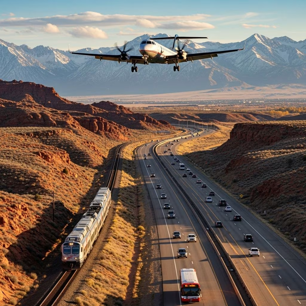
Utah’s diverse terrain—from towering red rock formations to snow-capped peaks—demands versatile transportation solutions. Whether you’re chasing national park vistas or urban vibes along the Wasatch Front, understanding local options ensures smooth travels. This guide breaks down driving, public systems, air access, rentals, and specialized services for every traveler.
A personal vehicle unlocks Utah’s remote wonders, where paved highways and scenic byways connect iconic sites like Zion, Arches, and Bryce Canyon. Well-maintained roads cover most attractions, offering flexibility for spontaneous detours. GPS navigation functions reliably statewide, making route planning straightforward.
For interstate travel, I-15 runs north-south through Salt Lake City, Provo, and St. George, while I-70 slices east-west across southern deserts. Scenic drives like Highway 12 or the Alpine Loop reward with breathtaking views but require preparation for winding paths and elevation changes.
RVs and campers thrive here too, with campgrounds abundant near parks. Rentals are plentiful at airports, including options for 4x4s suited to off-highway adventures.
The Utah Transit Authority (UTA) anchors public options in northern Utah’s urban corridor, spanning Salt Lake City, Ogden, and Provo. This network outperforms many U.S. states, with frequent services ideal for city-hoppers.
| Service | Route Coverage | Frequency | Key Features |
|---|---|---|---|
| TRAX Light Rail | Salt Lake County, airport to downtown | Every 15-20 min daytime | Blue, Red, Green Lines; 20-min airport link |
| FrontRunner Commuter Rail | Ogden to Provo | Every 30-60 min | North-south spine; connects universities |
| UTA Buses | Wasatch Front counties | Varies; expresses like UVX free | 200+ routes; ski shuttles seasonal |
TRAX whisks passengers from Salt Lake International Airport to downtown in under 25 minutes. FrontRunner bridges the 90-mile Ogden-Provo stretch, perfect for commuters or day-trippers. Buses fill gaps with expresses like UVX (free along Utah Valley) and seasonal ski routes to resorts.
Park City and Wasatch Back offer fare-free transit year-round. Park City Transit runs 13 routes from Old Town to resorts, while High Valley Transit links SLC to Heber City with on-demand options—ideal for winter visitors avoiding snowy drives.
Single rides start low, but day or monthly passes via Farepay card or Transit app save big. A free fare zone blankets central Salt Lake City for TRAX and buses. Reduced fares apply for youth, seniors, and disabled riders; check UTA’s site for eligibility.
Off-peak waits lengthen to hourly, so plan via UTA’s schedules and maps for Salt Lake, Utah, Davis/Weber counties. Apps track vehicles in real-time, minimizing guesswork.
Salt Lake City International (SLC) dominates as Utah’s hub, with direct flights nationwide and growing international links. Budget carriers keep fares competitive. From SLC, TRAX provides seamless ground connections.
Regional airports like St. George (SGU) serve southern parks, Provo (PVU) aids Utah Valley, and Cedar City (CDC) accesses Zion. Smaller fields like Moab (CNY) cater to park-goers, often with scenic flight charters.
Lyft edges Uber in popularity and pricing along the Wasatch Front and ski areas. Both apps operate reliably in cities, with surge pricing during events or storms. Taxis fill niches at airports, though pricier.
For groups or gear-heavy trips (skis, bikes), shuttles from resorts or private operators like All Resort Express link SLC to Park City in under an hour.
Major firms—Cruise America for RVs, Enterprise for cars—cluster at SLC and regional airports. Options span economy sedans to premium SUVs for snowy passes or ATVs for desert trails. Book ahead for peak seasons; one-ways suit multi-city itineraries.
Utah excels in accommodations, with wheelchair-accessible parking statewide, including parks and eateries. UTA vehicles feature lifts and securement; paratransit like High Valley serves Wasatch Back. Visit Utah’s resources guide adaptive adventures, from audio trail guides to hand-controlled rentals.
Amtrak’s California Zephyr pauses at Green River, Helper, and Provo en route Chicago-San Francisco. Greyhound links SLC to Vegas, Denver, and beyond, with UTA feeders for local legs.
For southern jaunts, shuttles like St. George Shuttle connect Vegas to Zion. Long-distance buses suit budget travelers avoiding drives.
Winter amplifies public transit’s appeal—free Park City buses dodge I-80 blizzards, while UTA ski links hit 10 resorts. Summer frees UVX and expands frequencies for festival crowds.
Monitor UDOT for avalanche risks or monsoons; apps like Waze crowdsource delays.
| Option | Daily Cost (Solo) | Best For |
|---|---|---|
| Car Rental + Gas | $50-100 | Remote parks, groups |
| UTA Day Pass | $6.25-13.50 | Wasatch cities |
| Lyft (10 miles) | $15-25 | Nightlife, short hops |
| RV Rental | $150+ | Camping families |
Public fares undercut driving for solo urbanites; cars win for flexibility.
Limited outside Wasatch Front; shuttles operate seasonally in Zion/Arches, but cars are essential for most.
TRAX Green Line: 20 minutes, $2.50.
Yes—central SLC zone, UVX, all Wasatch Back buses.
Fare-free High Valley Transit or Park City routes.
Often snow tires; chains extra—confirm with provider.
