

 Travel Essentials
 Travel Essentials

Discover how Strava's heatmaps, route builders, and local guides elevate your travel workouts for running, cycling, and more with pro-level tips.
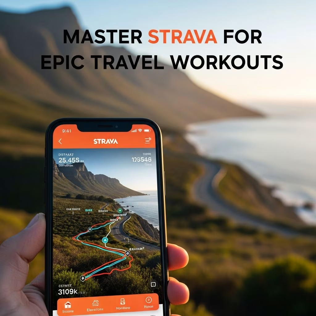 Travel Essentials
Strava transforms ordinary trips into extraordinary fitness journeys by leveraging user-generated data to reveal the best paths for running, cycling, and hiking. Whether exploring a new city or scenic countryside, its tools help travelers discover safe, popular routes while tracking performance seamlessly.
The cornerstone of Strava’s travel utility is its **Global Heatmap**, a visual overlay showing the density of activities on roads and trails worldwide. Brighter colors indicate heavily trafficked paths preferred by locals and visitors alike, guiding you to curvy backroads or hidden gems over busy highways.
Before booking accommodations, zoom into potential spots on the Strava map. Look for clusters of intense color representing frequent rides or runs—these often signal smooth surfaces, stunning views, and reliable terrain. For urban adventures, heatmaps highlight pedestrian-friendly zones and parks, ideal for morning jogs amid unfamiliar streets.
This data-driven approach ensures your workout aligns with proven paths, minimizing wrong turns and maximizing enjoyment.
Strava’s **Route Builder** empowers premium users to craft personalized itineraries tailored to distance, elevation, and surface type. Activate the heatmap overlay immediately upon opening the tool to snap routes onto popular segments effortlessly.
Click to plot points, and Strava auto-calculates elevation gain, estimated time based on your historical speeds, and total mileage. Switch to manual mode for tricky spots like tunnels or off-road links where auto-routing falters. Save and export as GPX for Garmin devices or print turn-by-turn directions for phone-free navigation.
| Feature | Benefit for Travelers | Tips |
|---|---|---|
| Heatmap Integration | Snaps to popular, safe paths | Toggle on first for best results |
| Elevation & Time Estimates | Matches your fitness level | Input pace for accuracy |
| Export Options | Works offline on GPS | GPX for Garmin, PDF for prints |
| Surface Filters | Paved vs. trail selection | Choose based on local weather |
Travelers can replicate a friend’s inspiring ride by uploading their GPX file directly into the builder for edits, ensuring adaptability to your schedule and starting point.
For major hubs like Paris, New York, or Sydney, **Strava Local**—an experimental Labs feature—curates hyper-local recommendations using heatmap data, top segments, and stopover analytics. It pinpoints “top stops” such as cafes, viewpoints, or repair shops where athletes pause, complete with average dwell times and Foursquare-linked reviews.
Filter by sport, length, and difficulty to get routes weaving through these highlights. This turns a standard run into a cultural tour, blending fitness with sightseeing. Availability expands, but current coverage spans key global cities, making it invaluable for spontaneous urban explorations.
Connectivity lapses are common abroad, so download routes and maps in advance via the Strava mobile app. Select your sport, set parameters like 10km run with moderate elevation, and save multiple options.
Pair with Garmin for seamless syncing: Link accounts, build on Strava, and send to your watch. This setup supports real-time navigation with arrows and voice cues, keeping you oriented without data reliance.
Strava prioritizes secure routing by favoring low-traffic roads and public trails, as seen in its auto-snap behavior during route creation. Privacy controls let you hide exact start/end points, crucial when logging hotel-based workouts that could reveal travel itineraries.
Enable Flybys to review rides post-activity, comparing your pace against ghosts without sharing locations. Label commutes or travel legs accurately to contribute to communal heatmaps without personal exposure.
Creative travelers craft **Strava art** by plotting whimsical shapes—like animals or landmarks—using the route builder’s flexibility. Plan meticulously for long rides that trace outlines, turning miles into memorable visuals shared post-trip.
Post-workout, dive into analytics: Compare segments to locals, track elevation profiles, and use community times for benchmarking. Apps like VeloViewer extend insights with prettier charts, all fed by Strava data.
Cycling: Heatmaps reveal gruppetto favorites—winding descents and climbs avoided by cars.
Running: Urban loops skirt crowds, hitting parks at optimal times via active hour data.
Hiking/Trails: Though road-focused, manual tweaks link popular paths; check surface filters.
Multi-sport versatility makes Strava indispensable, from beach jogs to mountain passes.
Yes, Route Builder, Strava Local, and advanced heatmaps require Summit (premium). Free users access basic maps and activity tracking.
Absolutely—download GPX files to GPS watches or phones for offline turn-by-turn guidance.
They use your past data; adjust for terrain or jet lag by testing short routes first.
It favors popular paths and offers privacy tools, but always share plans and use common sense.
Record and upload activities publicly; label types accurately for better communal data.
