

 Travel Essentials
 Travel Essentials

Explore the story of Bermeja, a mysterious island mapped for centuries in the Gulf of Mexico that disappeared, impacting Mexico-US border talks and sparking debates on cartography, geology, and conspiracy.
 Travel Essentials
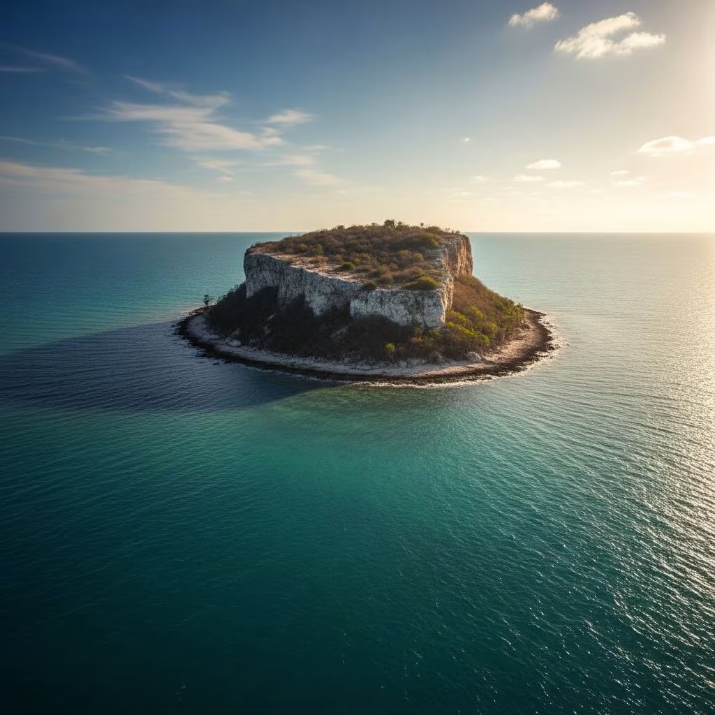
Isla Bermeja, a small landmass once confidently marked on nautical charts, has puzzled geographers, sailors, and diplomats for decades. Positioned in the Gulf of Mexico off Mexico’s Yucatán Peninsula, this supposed island influenced international boundaries until modern surveys revealed only open sea at its coordinates. Its story blends historical cartography, geopolitical stakes, and unresolved mysteries, highlighting how outdated maps can alter national fortunes.
Records of Bermeja trace back to 1539, when it debuted in a Spanish catalog of global islands. Named after the Spanish word for ‘reddish,’ likely due to its imagined hue, the islet appeared consistently on maps through the 20th century. Spanish cartographers placed it precisely at 22°33’N, 91°22’W, about 100 kilometers northwest of Yucatán, making it Mexico’s northernmost gulf outpost.
Early explorers relied on rudimentary tools, sketching shorelines from afar. Bermeja’s depiction persisted across eras, from colonial sketches to modern charts, embedding it in maritime lore. Fishermen referenced it, and navies planned around it, unaware that no one had likely sighted it in centuries.
Bermeja’s significance exploded during 2000s negotiations between Mexico and the United States over Gulf of Mexico drilling rights. The islet would have extended Mexico’s exclusive economic zone northward, granting access to an estimated 22.5 billion barrels of oil and vast gas reserves. Without it, Mexico ceded claims, potentially forfeiting billions in resources.
In 2000, boundary talks hinged on verifiable landmarks. Bermeja’s absence forced reliance on continental shelf data, favoring U.S. interests. This ‘billion-dollar disappearance’ underscored how phantom features reshape sovereignty.
| Aspect | With Bermeja | Without Bermeja |
|---|---|---|
| Maritime Boundary | Mexico extends 55+ miles north | U.S. gains larger oil zone |
| Oil Reserves | Mexico claims 22.5B barrels | U.S. controls disputed area |
| Economic Impact | Billions in revenue | Mexico loses potential wealth |
Mexico launched probes starting in 1997. Government vessels scoured the site with sonar and divers, finding no land, reefs, or submerged ruins. A 2009 National Autonomous University of Mexico (UNAM) expedition, commissioned by lawmakers, deployed advanced bathymetry, confirming depths of hundreds of meters—no island remnants.
Subsequent efforts by TV Azteca and private groups echoed these results. Sea floor scans revealed uniform sediment, ruling out recent subsidence. By 2010, four official missions declared Bermeja nonexistent.
Experts favor a simple explanation: Bermeja was a mapping error, copied across generations. Pre-GPS eras saw cartographers extrapolate from vague reports, inventing features to complete blanks. Misread coordinates or confused atolls could birth such phantoms.
French-Mexican cartographer Michel Antochiw Kolpa noted British charts from 1844 listing Bermeja submerged at 60 fathoms (110 meters), suggesting early doubts. Perpetual replication preserved the myth until technology intervened.
“In the age of exploration, maps often filled voids with assumptions, perpetuating errors like Bermeja for centuries.”
Some posit geological drama: rising seas or tectonic shifts swallowed Bermeja. Global examples abound—Pacific atolls vanishing amid climate change. Yet, gulf scans show no shallow mounts or erosion scars; the seabed lies too deep for a recent sink.
Yucatán’s stable tectonics contradict rapid submersion. If real, remnants like guyots should persist, but none do. This theory, while dramatic, lacks sonar evidence.
Fringe narratives claim U.S. intervention: CIA nuked or razed Bermeja to secure oil. These tales cite covert ops history but ignore logistics—a 30km island vanishing undetected defies physics.
Mexico’s open surveys and U.S. transparency undermine plots. Conspiracy thrives online, yet official data points to error over espionage.
Bermeja exemplifies cartography’s evolution. Satellites and AI now verify features, purging phantoms. For travelers, it warns against outdated charts; Gulf sailors navigate GPS, not ghosts.
Mexico’s saga informs boundary disputes worldwide, emphasizing empirical proof over legacy maps. It enriches Gulf lore, drawing curious divers to ’empty’ coordinates.
Though island-less, Bermeja’s site beckons adventurers from Yucatán ports like Progreso. Charter boats for day trips; expect azure waters teeming with marine life. Dive ops explore nearby reefs, not ruins.
22°33’N, 91°22’W, roughly 100km off Yucatán.
It would extend maritime claims, unlocking oil-rich zones.
No—sonar shows deep, featureless seafloor.
No; lacks evidence, contradicted by surveys.
The site yes—via boat from Yucatán for mystery tours.
Bermeja endures as a testament to human error and ambition. From 16th-century ink to 21st-century sonar, its absence redefines borders and beliefs, reminding us that seas hide more than they reveal.
