

 Travel Essentials
 Travel Essentials

Japan's latest geospatial survey uncovers 14,125 islands, more than double the previous tally, thanks to advanced mapping tech. Explore the implications for travel, geography, and maritime boundaries.
 Travel Essentials
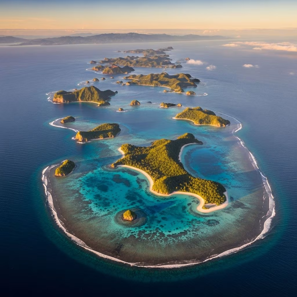
Japan, renowned for its stunning archipelago stretching across the Pacific, has long captivated travelers with its blend of ancient traditions and modern marvels. Recent revelations from a comprehensive national survey have dramatically reshaped our understanding of this island nation. The total number of islands now stands at an astonishing 14,125, more than double the longstanding figure of 6,852 recorded in 1987. This isn’t about newly emerged landmasses but a testament to cutting-edge technology revealing what was always there, hidden in plain sight.
Conducted by the Geospatial Information Authority of Japan (GSI), this survey leverages digital mapping and aerial photography to pinpoint every naturally formed landmass with a coastline measuring at least 100 meters. Artificial reclamations, common in Japan’s urban coastal developments, were deliberately excluded to focus solely on natural formations. This precise methodology has not only updated official records but also opened doors to unexplored travel destinations and refined geopolitical perspectives.
At the heart of this discovery lies decades of technological evolution. The 1987 count, performed by the Japan Coast Guard, relied on manual surveys and less advanced tools, often grouping clusters of tiny islets as single entities or overlooking those attached to mainlands due to imprecise boundaries. Today’s approach uses high-resolution data from the Digital Japan Basic Maps, scaled at 1:25,000, enabling surveyors to distinguish individual islands with unprecedented clarity.
Aerial imagery and geospatial algorithms dissect complex coastlines, separating what was once deemed connected land. Volcanic activity since the last survey has also contributed modestly, birthing new formations, though the bulk of the increase stems from better detection of existing ones. Islands within lakes or rivers were omitted, ensuring the count reflects oceanic and coastal treasures only.
This methodological shift mirrors global trends in geographic information systems (GIS), where precision mapping enhances environmental monitoring, disaster preparedness, and tourism planning.
Japan’s island distribution is far from uniform, with certain prefectures boasting concentrations that rival entire nations. Nagasaki tops the list with 1,479 islands, home to the historic Iki, Tsushima, and Gotō archipelagos. These remote outposts offer pristine beaches, WWII relics, and vibrant fishing cultures.
| Prefecture | Island Count | Highlights |
|---|---|---|
| Nagasaki | 1,479 | Iki, Tsushima, Gotō Islands – diving, history |
| Hokkaidō | 1,473 | Rishiri, Rebun – wildlife, hiking |
| Kagoshima | 1,256 | Yakushima, Amami – rainforests, hot springs |
Hokkaidō follows closely with 1,473 islands, featuring rugged northern terrains ideal for eco-tourism. Kagoshima’s 1,256 islands, part of the Ryukyu chain, showcase subtropical paradises with UNESCO-listed biodiversity hotspots. These figures underscore Japan’s fragmented geography, influencing everything from fisheries to defense strategies.
For adventurers, this survey is a treasure map to obscurity. Many of these 7,273 newly ‘discovered’ islands – technically reclassified – remain uninhabited, dotted with lighthouses, seasonal fishing huts, or sheer cliffs. Ferries from major ports like Nagasaki or Kagoshima provide access to clusters where snorkeling reveals vibrant reefs, and stargazing rivals the world’s darkest skies.
Consider the Gotō Islands: a chain of five main isles plus hundreds of specks, famed for hidden coves and Catholic heritage sites from Japan’s underground Christian era. Hokkaidō’s offshore gems, like Rebun and Rishiri, draw hikers to alpine flower meadows and hot springs. Kagoshima’s Yakushima, inspiration for Studio Ghibli’s Princess Mononoke, harbors ancient cedars over 7,000 years old.
Practical tips for island hopping:
Tourism boards are already promoting these finds, with eco-tours emphasizing sustainability amid rising sea levels.
Beyond leisure, the updated count holds strategic weight. Japan’s extensive Exclusive Economic Zone (EEZ) – the largest in the world after France’s – expands with clearer island delineations, bolstering fishing rights and resource exploration. Disputes with neighbors like China and South Korea over islets in the East China Sea gain sharper focus, as precise mapping aids legal arguments under UNCLOS (United Nations Convention on the Law of the Sea).
The GSI’s work ensures Japan’s maritime boundaries reflect reality, crucial for offshore wind farms and undersea mineral surveys. Internationally, it exemplifies how data-driven surveys can resolve ambiguities without territorial expansion.
Japan’s islands are biodiversity hotspots. Subtropical southern chains host endemic species like the Amami rabbit, while northern ones shelter sea eagles. The survey aids conservation by mapping erosion-prone areas and invasive species spread. Climate change poses threats: rising oceans could submerge smaller islets, altering counts again soon.
Protected areas, such as biosphere reserves, now encompass more sites, promoting ‘blue tourism’ that funds preservation.
Q: Why did the island count double?
A: Advanced aerial surveys distinguished tiny, separate islands previously lumped together.
Q: Are these new islands habitable?
A: Most are uninhabited rocks or islets, but clusters offer seasonal communities and tourism.
Q: How does this affect travel to Japan?
A: It highlights underrated spots, boosting remote island ferries and eco-adventures.
Q: What technology powered the survey?
A: GSI’s Digital Japan Basic Maps and photogrammetry for 100m+ coastlines.
Q: Any territorial disputes involved?
A: Yes, precise mapping strengthens Japan’s EEZ claims in contested seas.
GSI plans periodic updates, integrating satellite data and AI for real-time monitoring. Other archipelagic nations like Indonesia or the Philippines could adopt similar methods. For travelers, Japan’s 14,125 islands promise endless discovery – from kayaking unnamed coves to photographing volcanic births. This survey isn’t just numbers; it’s an invitation to explore the sea’s hidden poetry.
