

 Travel Essentials
 Travel Essentials

Uncover the wonders of Lost Mine Trail: a 4.8-mile round-trip hike with 1,100 feet elevation gain, panoramic views, and essential tips for your Big Bend adventure.
 Travel Essentials
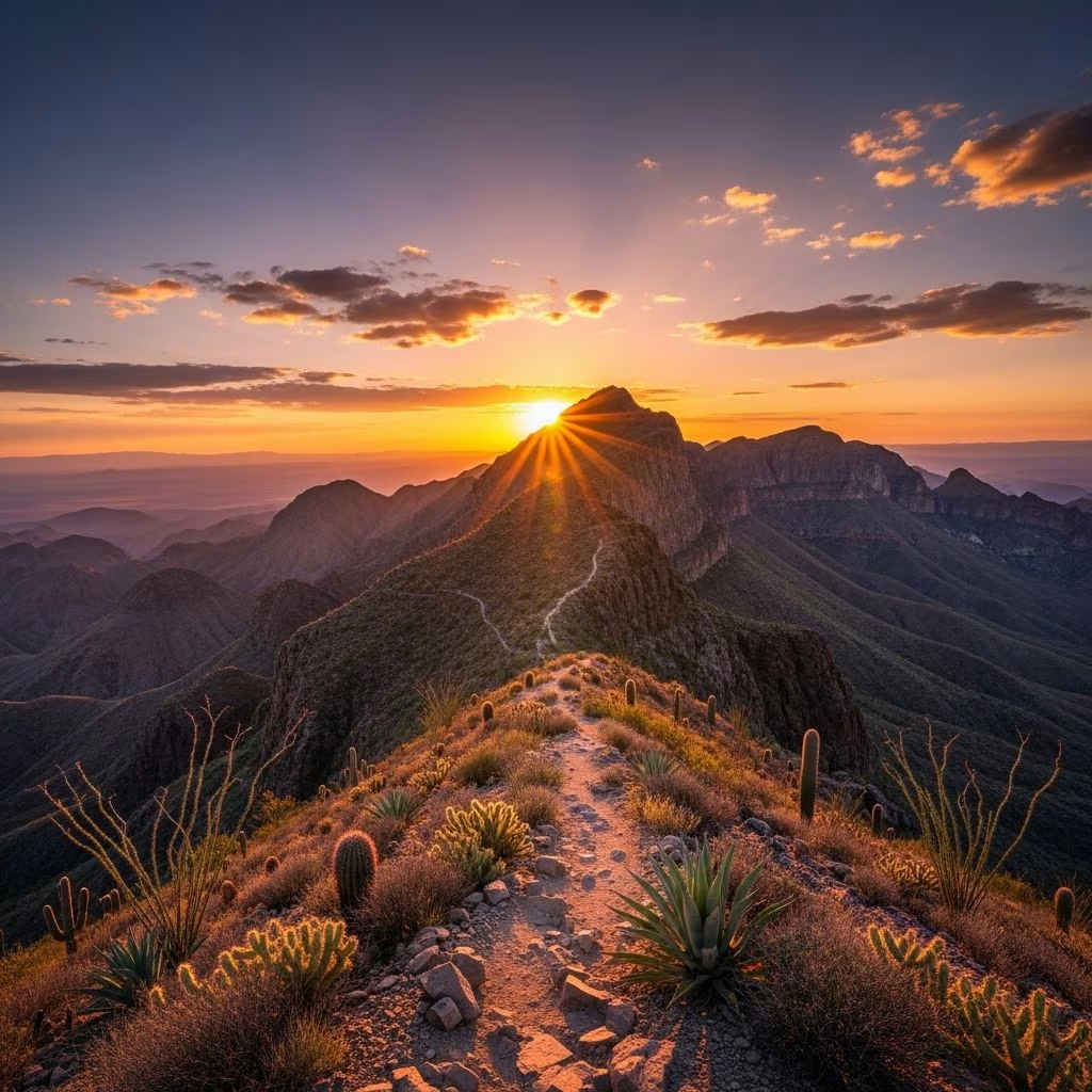
The Lost Mine Trail stands out as one of the most rewarding day hikes in Big Bend National Park, delivering panoramic vistas of rugged mountains and vast desert landscapes with a manageable 4.8-mile round trip and 1,100 feet of elevation gain.
From the trailhead, hikers step into a unique woodland-grassland environment that contrasts sharply with Big Bend’s typical arid terrain, offering immediate immersion in diverse ecosystems and sweeping scenery. Many visitors and park staff rank it among the park’s favorites due to its balance of accessibility and stunning payoffs, including overlooks into Juniper Canyon and the Chisos Basin’s northeast rim.
This hike provides the ‘biggest payoff for the least effort’ in the Chisos Mountains, making it ideal for those seeking high rewards without extreme exertion. The trail’s popularity stems from these views, though it draws crowds, especially on weekends and peak seasons.
Situated in the heart of Big Bend National Park in southwest Texas, the Lost Mine Trail begins at mile 5 on Chisos Basin Road, accessible after entering the park via the main entrance. The trailhead features a small parking lot that fills rapidly, often by mid-morning, prompting early arrivals or multiple visit attempts for some hikers.
The out-and-back path covers 2.4 miles one way, steadily ascending through pine-oak woodlands interspersed with grassy clearings. Expect a consistent uphill climb on the way out, transitioning to a downhill return, with the steepest sections near the end via numerous switchbacks.
| Trail Segment | Distance | Elevation Gain | Highlights |
|---|---|---|---|
| Trailhead to First Overlook | 0.5 miles | 200 ft | Initial woodland entry, basin views |
| Mid-Section Canyon Views | 1.0 miles | 500 ft | Juniper Canyon panoramas, wildlife potential |
| Final Switchbacks to Summit | 0.9 miles | 400 ft | Steep climbs, 360-degree vistas |
Average completion time is three hours, though fit hikers may finish in under two, allowing ample photo stops.
Rated moderate, the trail suits experienced beginners and seasoned trekkers alike, with no technical scrambling required. The steady 1,100-foot gain over 4.8 miles yields a manageable grade, but the switchbacks demand endurance.
Recent reviews note a 3.5/5 difficulty, praising well-maintained paths and steady footing.
The trail traverses a montane forest rare in the desert park, featuring madrones, junipers, and oaks that create a forested alpine feel. Wildlife includes black bears and mountain lions in the vicinity, though sightings are distant and cautious navigation is advised.
Seasonal blooms add color in spring, while rocky outcrops reveal geological history from ancient volcanic activity shaping the Chisos.
Optimal months are October to April, avoiding summer heat above 100°F. Winter offers crisp air and solitude, with recent footage from late 2025 showing clear paths despite cooler temps.
Preparation ensures safety on this exposed trail.
As Big Bend’s top day hike, expect company, especially near the start where less-experienced groups dominate. Crowds thin higher up, rewarding persistence with quieter summit moments.
Follow Leave No Trace: yield to uphill hikers, keep noise low, pack out waste. Pets are prohibited to protect wildlife.
Key stops include the initial basin overlook, mid-trail Juniper Canyon vista, and terminus 360-degree panorama encompassing Casa Grande peak and distant deserts.
Hydration is critical—aim for a liter per hour in heat. Watch for altitude effects above 6,000 feet, dehydration signs, and wildlife from afar. No cell service; inform others of plans. Recent 2026 reviews confirm stable conditions post-winter.
Pair with Chisos Basin Lodge stays or nearby Window Trail for multi-day exploration. As a half-day option, morning hike leaves afternoons for stargazing or Rio Grande floats.
For contrasts, follow with desert hikes like Burro Mesa Pours.
Yes for ages 8+, but assess fitness; shorter legs tire on switchbacks. Supervision essential near edges.
By 7 AM for parking and cooler temps; lot holds ~20 vehicles.
Yes, basic vault toilets available.
Sunrise yes with light; sunset risky due to darkness and fatigue—finish by 4 PM.
November-February for comfort and fewer crowds.
Lost Mine Trail exemplifies Big Bend’s allure: accessible beauty amid wilderness. With proper prep, it creates lasting memories of Texas’ wild heart.
