

 Travel Essentials
 Travel Essentials

Comprehensive guide to Mount Rainier National Park: explore key areas like Paradise and Sunrise, top hikes, entrance tips, lodging options, and planning advice for first-timers.
 Travel Essentials
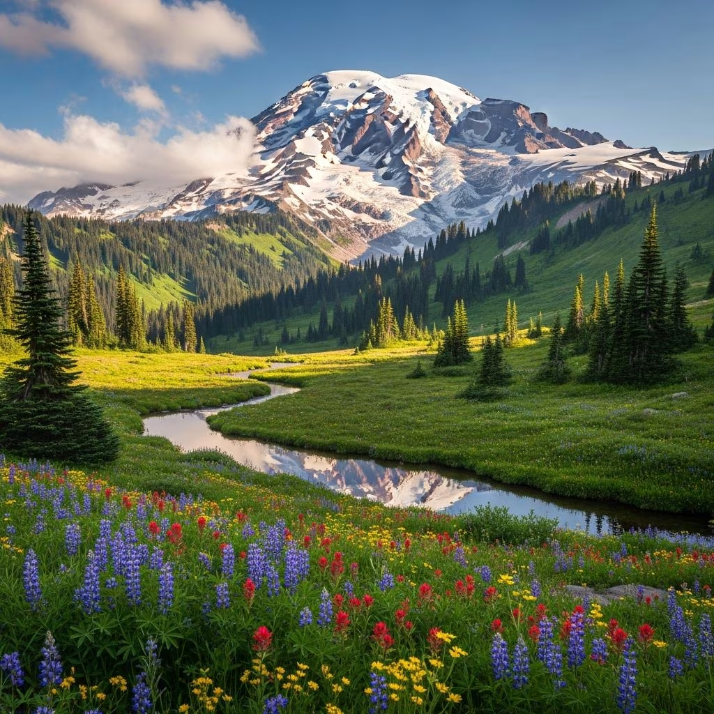
Mount Rainier National Park, established in 1899 as one of America’s earliest protected areas, encircles a massive active stratovolcano rising 14,411 feet above sea level. This iconic destination in Washington state offers diverse ecosystems, from ancient forests to alpine meadows bursting with wildflowers, glaciers, and cascading waterfalls. Spanning 236,381 acres, the park draws over 1.5 million visitors annually, primarily to its five main developed regions: Longmire, Paradise, Ohanapecosh, Sunrise, and Carbon River/Mowich Lake. Whether you’re a hiker seeking challenging summit views or a family looking for scenic drives, this guide provides everything needed for a rewarding visit.
The park’s road network forms a partial loop around the mountain, with limited direct connections between areas, requiring strategic planning for travel times that can exceed an hour between popular spots. Four primary entrances provide access:
Check road status year-round, as snow closes many routes from October to May. Paradise Road and Sunrise Road often require tire chains in winter. A full circumnavigation drive exceeds 140 miles and takes 4-6 hours with stops, showcasing waterfalls, rivers, and peaks.
Each of the park’s five areas offers unique experiences, from visitor centers and lodges to ranger programs and trails.
The most visited southwest hub, Paradise sits at 5,400 feet amid subalpine meadows. Summer brings vibrant wildflowers, while Nisqually Glacier looms nearby. The Jackson Visitor Center provides maps, exhibits, and a café. Key attractions include easy strolls to viewpoints and strenuous loops with glacier panoramas.
At 6,400 feet, the northeastern Sunrise area delivers unobstructed Rainier vistas and access to the Wonderland Trail. It’s less crowded than Paradise but demands fitness for its steep hikes branching from Sourdough Ridge to Frozen Lake and beyond. The Sunrise Visitor Center offers ranger talks and weather updates.
This southwest base features the National Park Inn, a rustic lodge with dining, plus the Longmire Museum and Wilderness Information Center for 3D park models and permits. Trails like Trail of the Shadows introduce the area’s geothermal history.
Southeast’s lush old-growth forests and the Ohanapecosh Visitor Center highlight river groves and hot springs remnants. It’s ideal for relaxed walks amid ferns and cedars.
Northwest’s road-washout access creates a backpacker haven with Spray Park’s meadows and Tolmie Peak’s fire lookout over Eunice Lake. Expect solitude and stunning northwest-face views.
With over 150 trails totaling 260 miles, including parts of the 93-mile Wonderland Trail, options abound. Here’s a curated selection:
| Trail Name | Location | Distance/Elevation | Difficulty | Highlights |
|---|---|---|---|---|
| Skyline Loop Trail | Paradise | 5.5 miles RT / 1,450 ft | Hard | Meadows, glaciers, waterfalls; trailhead at visitor center |
| Myrtle Falls via Skyline | Paradise | 0.8 miles out-and-back / 150 ft | Easy | 72-ft waterfall with Rainier backdrop; photographer favorite |
| Sourdough Ridge to Frozen Lake | Sunrise | 2-4 miles loop / Varies | Moderate | Alpine views, wildflowers; extend to Shadow Lake |
| Spray Park / Tolmie Peak | Carbon River | 6-7 miles RT / 1,500 ft | Moderate | Subalpine meadows, lookout over Eunice Lake |
| Trail of the Shadows | Longmire | 0.7 miles loop / Minimal | Easy | Geothermal features, historic sites |
Always carry the ten essentials, bear spray, and check for timed-entry reservations required in peak season at Paradise and Sunrise. Dogs are prohibited on trails.
Entrance fees are $30 per vehicle (7 days) or $55 annual pass. Timed-entry reservations via recreation.gov are mandatory July-September for Paradise and Sunrise to manage crowds. Weather shifts rapidly; monitor nps.gov/mora for conditions and cloud cover tools. Optimal visits: mid-June to mid-October for open roads and fall colors. Pack layers, rain gear, and sun protection—altitudes amplify exposure.
Inside the park, choices are limited; book early:
Nearby Ashford offers Airbnbs and motels. Dining focuses on cafeterias and picnics; stock up outside.
Day 1: Paradise Focus (Nisqually Entrance)
Enter via Nisqually, stop at Longmire for museum/orientation. Drive to Paradise for Myrtle Falls and Skyline Loop. Evening at National Park Inn.
Day 2: Sunrise and East Side
Head to Sunrise for Sourdough Ridge hikes. Loop via Stevens Canyon Road to Ohanapecosh. Exit southeast.
Summer: Wildflowers peak July-August. Fall: Golden larches. Winter: Snowshoeing, skiing at Crystal Mountain nearby. Climbing permits required for summits. Watch for wildlife (bears, mountain goats), stay on trails to protect fragile meadows, and practice Leave No Trace.
Yes, timed-entry for Paradise/Sunrise in summer; lodging/camping books fast.
Mid-June to October for accessibility; avoid winter unless snow-ready.
$30/vehicle; America the Beautiful pass covers it.
No on trails; allowed in campgrounds on leash.
2-3 days ideal to cover key areas without rushing.
