

 Travel Essentials
 Travel Essentials

Comprehensive guide to hiking Mount Whitney: permits, best routes, training plans, essential gear, acclimatization strategies, and safety protocols for summiting the tallest peak in the contiguous US.
 Travel Essentials
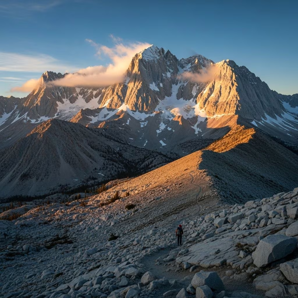
Mount Whitney stands as the crowning glory of the contiguous United States, soaring to 14,505 feet in California’s Sierra Nevada range. This iconic peak draws thousands of adventurers annually, offering unparalleled vistas of alpine lakes, jagged ridges, and vast valleys. Success demands meticulous planning, robust fitness, and respect for high-altitude rigors. Whether attempting a grueling day hike or a multi-day trek, this guide equips you with everything needed for a safe and rewarding journey.
Mount Whitney resides in Inyo National Forest, accessible via Whitney Portal, located 13 miles west of Lone Pine, California. The primary route, the Mount Whitney Trail, spans 21-22 miles round trip with over 6,100 feet of elevation gain, starting at 8,360 feet. This well-maintained Class 1 trail winds through diverse ecosystems, from pine forests to barren alpine zones, passing landmarks like Lone Pine Lake, Outpost Camp, and Trail Camp.
Alternative paths exist for experienced climbers, such as the Mountaineers Route—a steeper, off-trail Class 3 scramble along the North Fork of Lone Pine Creek, often requiring ice axes, crampons, helmets, and ropes in early seasons. This route avoids crowds but introduces technical challenges, exposure, and loose rock, making it unsuitable for novice hikers.
| Route Comparison | Mount Whitney Trail | Mountaineers Route |
|---|---|---|
| Type | Maintained hiking trail (Class 1) | Technical scrambling (Class 3) |
| Distance | 21-22 miles RT | ~18 miles RT (variable) |
| Elevation Gain | 6,100-6,600 ft | Similar, steeper |
| Skills Needed | Fitness, altitude awareness | Scrambling, route-finding, gear handling |
| Best For | All fit hikers | Experienced climbers |
No ascent is possible without a permit, enforced year-round by Inyo National Forest. From May 1 to November 1, quotas cap day hikers at 100 and overnight stays at 60 per trailhead, with lotteries opening five months in advance via recreation.gov. Apply early—odds improve for weekdays and shoulder seasons. Walk-up permits are available but scarce, limited to 40% of quota.
Beyond quotas, human waste pack-out is mandatory above 12,000 feet using WAG bags provided at the trailhead.
A day hike suits ultra-fit athletes: depart Whitney Portal pre-dawn (2-3 AM start), summit by noon, return by dark (15-20 hours total). Most opt for overnight to acclimate and savor the experience.
For climbers, a 3-day Mountaineers Route itinerary includes Day 1 to Upper Boy Scout Lake, Day 2 summit via gully, Day 3 exit.
| Landmark | Distance from Portal | Elevation | Notes |
|---|---|---|---|
| Lone Pine Lake | 2.8 mi | 10,000 ft | Scenic break spot |
| Outpost Camp | 3.8 mi | 10,400 ft | Lower camp option |
| Trail Camp | 6 mi | 12,000 ft | Popular summit base |
| Trail Crest | 8.5 mi | 13,650 ft | Switchbacks end; epic views |
| Summit | 10.8-11 mi | 14,505 ft | Sign-in, panoramic rewards |
The trail’s demands—20+ miles, 6,000+ feet gain at altitude—require 6-12 months of training. Build endurance with 10-20 mile hikes carrying 20-30 lb packs, weekly stair climbs (4,000+ steps), and hill repeats. Simulate altitude via hikes above 10,000 feet or hypoxic training masks.
Acclimatization prevents acute mountain sickness (AMS): spend 2-3 nights at 8,000-11,000 feet pre-hike (e.g., Horseshoe Meadows). Overnight at Trail Camp to ease the final push. Monitor symptoms: headache, nausea, dizziness—descend if severe.
Layer for 20-80°F swings, fierce winds, and sudden storms. Essentials include:
For day hikes, slim to 15-20 lb pack.
Prime season: July-September for snow-free trails. June risks snow/ice on switchbacks; October brings early freezes. Check forecasts—afternoon thunderstorms common; summit post-dawn to evade lightning. Snowshoes/crampons needed pre-July.
Water sources abound to Trail Crest; treat all. Post-fire zones may alter sections—verify with rangers.
Altitude claims 30% of attempts; hydrate (1 gal/day), pace switchbacks, turn back if symptoms worsen or post-2 PM summit fails. Lightning, dehydration, and rockfall are top hazards. Travel in groups, inform plans, carry satellite communicator.
Gain the summit plateau, sign the log, bask in 360° views: Great Western Divide eastward to Owens Valley 10,000 feet below. Descend cautiously—膝 joints strain.
Yes, year-round via quota lottery on recreation.gov. Overnight permits are essential for camping.
Very demanding: 22 miles, 6,000+ ft gain at high altitude. Train rigorously.
July-September for optimal conditions; avoid winter without expertise.
Possible for elite fitness levels with pre-dawn start, but overnight recommended.
Helmet, ice axe, crampons (seasonal), scrambling skills—not for beginners.
Summiting Mount Whitney forges resilience amid sublime beauty. Respect the mountain’s power through preparation, yielding memories etched in granite and sky.
