

 Travel Essentials
 Travel Essentials

Explore the iconic Pacific Coast Highway with detailed itineraries, top stops, planning advice, and insider tips for the perfect U.S. road trip experience.
 Travel Essentials
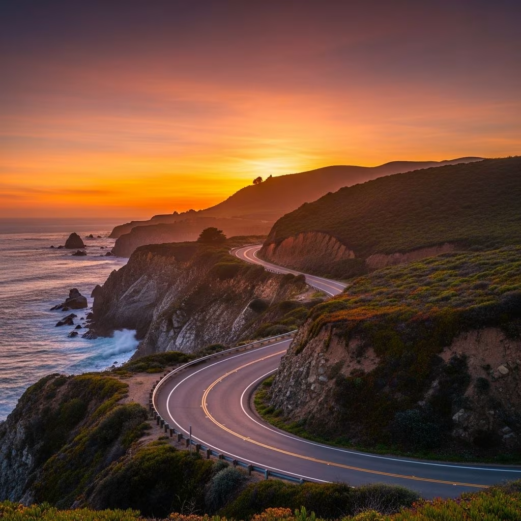
The Pacific Coast Highway, often called PCH or Highway 1, stands as one of America’s most celebrated driving routes, offering unparalleled views of rugged cliffs, pristine beaches, and vibrant marine life along California’s stunning coastline. Stretching primarily from Dana Point in the south to Leggett in the north, this route captivates millions of travelers annually with its dramatic landscapes and diverse attractions.
This legendary drive combines natural beauty with cultural highlights, making it ideal for adventurers, families, and solo explorers alike. Drivers encounter everything from towering sea stacks and elephant seal rookeries to luxurious estates and charming seaside towns. The highway’s winding path hugs the Pacific Ocean, providing frequent pullouts for photography and reflection. Beyond California, extensions along U.S. Route 101 continue the coastal theme through Oregon and Washington, but the core California segment remains the highlight.
Travelers praise the PCH for its accessibility—starting from major hubs like Los Angeles or San Francisco—while rewarding those who venture off the beaten path. Wildlife sightings, including whales during migration seasons, add an element of excitement. Culinary delights, from fresh seafood shacks to acclaimed wineries, enhance the journey, turning a simple drive into a multisensory experience.
Success on the PCH begins with thoughtful preparation. The full California route spans about 650 miles, but most opt for the popular 450-mile stretch between San Francisco and Los Angeles, which can be completed in 4-7 days depending on pace. Allocate extra time for stops, as the curvy roads limit speeds to 35-55 mph in scenic areas.
Avoid holidays and weekends for smoother sailing. Check Caltrans for real-time road conditions, as landslides occasionally affect Big Sur.
| Category | Recommendations |
|---|---|
| Vehicle | Opt for a reliable car with good brakes; convertibles enhance views but secure valuables. |
| Fuel | Fill up in towns; gas stations are sparse in remote stretches. |
| Gear | Pack layers for microclimates, binoculars for wildlife, cooler for picnics, and a full tank spare tire. |
| Apps | Use Roadtrippers or Gypsy Guide for navigation and audio tours. |
| Budget | Expect $200-400/day for gas, food, lodging for two. |
Drive south to north for tailwinds and rising sun on your left, maximizing photo ops.
This comprehensive 7-day plan balances driving (4-6 hours daily) with exploration, covering 450 miles. Adjust for shorter trips by prioritizing Big Sur.
Depart the Golden Gate Bridge, stopping at Pigeon Point Lighthouse for panoramic views. In Santa Cruz, roam the Boardwalk’s historic amusement park. Overnight in Monterey, exploring Cannery Row and the aquarium.
Tackle the iconic Bixby Creek Bridge and Julia Pfeiffer Burns State Park’s McWay Falls, where water tumbles onto the beach. Hike in Pfeiffer Big Sur State Park amid redwoods. Stay in a cozy Big Sur lodge.
Visit elephant seals at Piedras Blancas Rookery, then tour Hearst Castle’s opulent rooms. Detour to Ragged Point for ‘Highway 1’s End’ views. Relax in San Luis Obispo’s walkable downtown.
Dune board at Pismo Beach, then head to Santa Barbara for Spanish architecture, Stearns Wharf, and wine tasting in the Funk Zone.
Spot Channel Islands from the coast, lunch in Ventura, and surf watch in Malibu. Evening beach bonfire.
Explore Crystal Cove State Park’s tide pools and Victoria Beach’s pirate tower. Artistic Laguna Beach offers galleries and seafood.
Conclude with Huntington Beach piers, Griffith Observatory, or Hollywood sign hikes.
Beyond Leggett, merge onto U.S. 101 for Avenue of the Giants’ ancient redwoods, Oregon’s dramatic headlands like Cape Perpetua, and Washington’s Olympic Peninsula rainforests. This full Pacific coast route exceeds 1,000 miles, ideal for 10-14 days.
Choices range from campgrounds to luxury resorts. Big Sur’s Post Ranch Inn offers cliffside rooms; Monterey’s Portola Hotel blends history and modernity. Budget options include Cambria motels.
Dine on Dungeness crab in San Francisco, clam chowder in Monterey, and avocado toast in Santa Barbara. Wineries in Paso Robles provide tastings amid rolling hills.
Mostly yes, but Big Sur sections close periodically due to erosion. Check updates via Caltrans app.
10-12 hours, but plan 4+ days minimum for enjoyment.
Large RVs struggle on curves; stick to smaller vehicles or buses.
Point Arena, Mendocino, and Point Vicente from December-April.
Many beaches allow leashed dogs; pack waste bags and check state park rules.
Watch for falling rocks, pull over safely for views, and yield to cyclists. Embrace Leave No Trace: pack out trash, stick to trails, and support local businesses. Fuel-efficient driving reduces emissions on this eco-sensitive route.
