

 Travel Essentials
 Travel Essentials

A practical guide to the Pan-American Highway: route highlights, Darien Gap bypasses, vehicle prep, borders, safety, and trip budgeting.
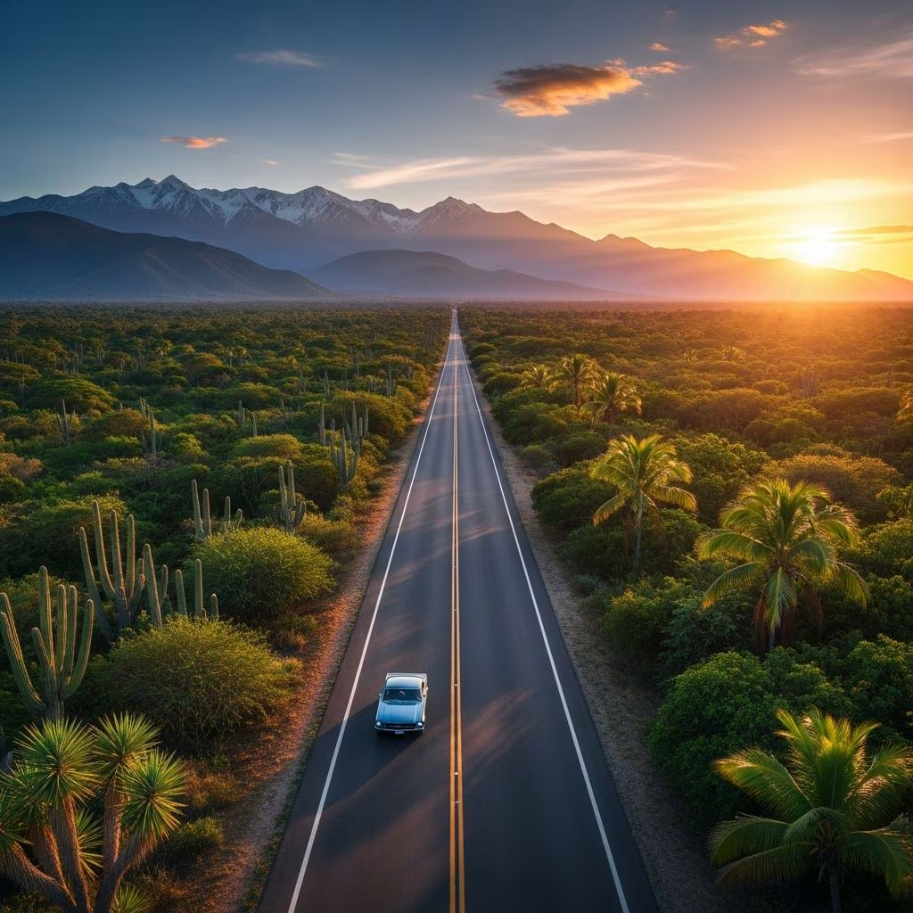 Travel Essentials
The Pan-American Highway stands as the longest motorable road network on Earth, spanning approximately 30,000 miles (48,000 km) from the remote northern reaches of Alaska to the windswept tip of South America in Ushuaia, Argentina. Recognized by the Guinness Book of World Records, this monumental route weaves through 14 countries, offering drivers, cyclists, and adventurers an unparalleled tapestry of natural wonders, cultural encounters, and logistical hurdles.
Officially, the highway links Mexico through Central America to Chile and Argentina, but intrepid travelers extend it northward into Canada and the United States, starting from Prudhoe Bay in Alaska. The path south traverses snow-capped mountains, arid deserts, lush rainforests, and coastal paradises, culminating in Patagonia’s dramatic fjords.
No single path defines the journey; branches diverge, allowing customization for scenic detours or safer passages.
The sole break in this continuous road is the Darien Gap, a 100-mile (160 km) swath of dense jungle, swamps, and mountains between Panama and Colombia. Protected as a UNESCO Biosphere Reserve, it’s home to indigenous communities, diverse wildlife, and security risks from guerrilla activity, rendering it uncrossable by vehicle.
Travelers bypass it via:
| Bypass Option | Duration | Cost Estimate (USD) | Pros | Cons |
|---|---|---|---|---|
| Ferry (Vehicle) | 5-7 days | 1,000-2,500 | Keeps your vehicle | Unreliable schedules, rough seas |
| Air Freight | 1-2 weeks | 5,000+ | Faster delivery | High cost, disassembly needed |
| Fly Personally | 1 day | 200-500 | Quick, cheap | Abandon or store vehicle |
Success demands a reliable vehicle suited to extremes: high-clearance 4x4s like Toyota Land Cruisers or Jeeps dominate, but motorcycles, vans, and even bicycles conquer it annually. Key modifications include reinforced suspension, spare tires, roof racks, and solar panels for off-grid power.
Must-Have Gear:
Budget 2-4% of vehicle value annually for maintenance, as border crossings and rough roads accelerate wear.
With up to 40 border crossings, paperwork is crucial. Most countries require vehicle import permits (Temporary Import Permit – TIP), valid insurance, and carnets for high-value rigs. Visas vary: US/Canadian citizens get 90 days visa-free in most spots; others need advance applications.
Pro Tips:
The highway’s diversity shines in these highlights:
Detour through Oaxaca’s Mayan sites like Palenque or Ecuador’s Quilotoa Lagoon for cultural depth.
A full traverse takes 4-12 months, covering 100-300 miles daily. Driving straight from Colombia to Ushuaia spans 6,000 miles, but side trips extend it.
| Region | Distance (miles) | Est. Time | Daily Budget (USD/person) |
|---|---|---|---|
| Alaska to Mexico | 5,000 | 1-2 months | 50-100 |
| Central America | 2,000 | 1 month | 40-80 |
| South America | 10,000+ | 3-6 months | 30-70 |
Total cost: $20,000-50,000 for a couple in a modified vehicle, covering fuel (20-30% of budget), food, lodging, and ferries. Fuel efficiency drops in mountains; carry cash for remote areas.
Risks include petty theft, road bandits in Honduras/Nicaragua, altitude sickness in the Andes, and natural disasters like earthquakes in Chile. Drive daylight hours, camp in groups, use apps like iOverlander for safe spots. Learn basic Spanish; health insurance with evacuation coverage is non-negotiable.
This route pulses with humanity: Chat with Mayan weavers in Chiapas, sip mate with gauchos in Argentina, feast on ceviche in Peru. Festivals like Guatemala’s Semana Santa or Brazil’s Carnival align perfectly for deeper connections.
Not just for cars:
No, sections in Bolivia, Peru, and Patagonia remain gravel or dirt, demanding 4×4 capabilities.
Minimum 4 months driving; most take 6-12 months with sightseeing.
Possible but riskier; join convoys via forums like PanAm Travelers Society.
May-June from Alaska to avoid winter; November-February for Patagonia.
Recommended for versatility, but 2WD sedans suffice on main routes with care.
