

 Travel Essentials
 Travel Essentials

Discover efficient transport in San Antonio: buses, streetcars, rideshares, bikes, walking, driving, taxis, airport links, and group options.
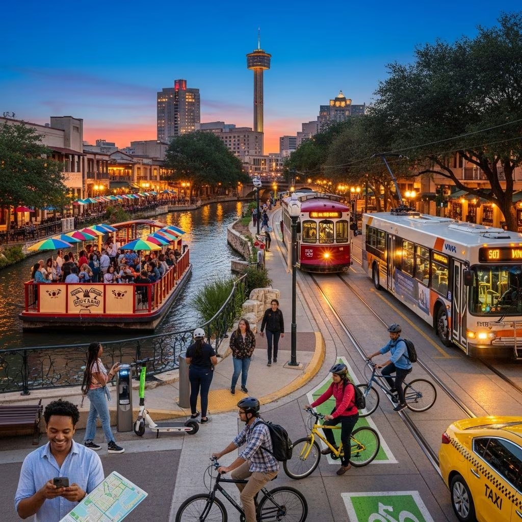 Travel Essentials
San Antonio, a sprawling Texas city rich in history and culture, rewards visitors who plan their movements carefully. With attractions like the Alamo, River Walk, and expansive parks spread across neighborhoods, understanding local transport unlocks effortless exploration. This guide details public buses, streetcars, rideshares, cycling, walking, driving, taxis, airport connections, and charters, drawing from official systems and practical experiences.
The VIA Metropolitan Transit system forms the core of San Antonio’s public transport, offering affordable access to key sites with routes covering downtown, parks, malls, and beyond. Fares start at $1.30 for a single ride, with day passes at $2.75, making it budget-friendly for multiple stops. Students enjoy reduced rates by showing ID on non-express lines.
Use the VIA goMobile+ app to buy digital tickets via QR code, skipping physical cards, or pay cash onboard. Pair it with the Transit app for real-time tracking, route planning, and schedules synced to your phone. For instant updates, text the five-digit stop code to 52020. Buses run frequently but fill during rush hours, so check apps to avoid crowds.
Popular routes include:
Signal stops by pulling the yellow cord; stand visibly at stops and wave off unwanted buses with a headshake or thumbs-up. Trips take longer than driving, so use time for podcasts while staying alert.
Streetcars provide smooth rides along the River Walk and Pearl District, connecting tourist hubs without traffic hassles. VIA’s Primo express buses offer faster service to suburbs and major spots like SeaWorld or Brackenridge Park, where standard buses fall short. Google Maps integrates VIA schedules—zoom for blue stop icons or get transit directions.
Uber and Lyft thrive in San Antonio, ideal for late nights, groups, or spots beyond bus reach. Taxis wait at stands and airports, with city center trips from SAT taking 20-25 minutes. Download apps for upfront pricing and tracking; they’re reliable for River Walk nightlife or spontaneous outings.
| Option | Best For | Est. Cost (Downtown Trip) | Wait Time |
|---|---|---|---|
| Uber/Lyft | Nightlife, groups | $10-20 | 2-10 min |
| Taxi | Airport, quick hails | $15-25 | 5-15 min |
| VIA Bus | Budget daily travel | $1.30 | 10-30 min |
Bike shares and e-scooters dot downtown and River Walk edges, perfect for short hops. Stations near hotels and attractions let you rent via apps, lock at hubs, and avoid parking woes. Helmets recommended; stick to paths for safety amid hilly terrain.
Downtown shines for pedestrians—the Alamo, River Walk, and Market Square cluster within easy strolls. Paved paths along the River Walk offer shaded, scenic walks; extend to Pearl Brewery for breweries and markets. Wear comfy shoes for Alamo Heights’ inclines.
Rentals suit families hitting missions, parks, or Hill Country day trips, as public transit skips some areas. SAT Airport hosts major agencies; book ahead. Navigate via I-10, Loop 410; watch for tolls on 1604. Parking garages serve downtown ($10-20/day); free lots at outskirts.
Pro Tips:
San Antonio International Airport (SAT), 7 miles north, links via VIA Route 5, taxis (20-25 min), Uber/Lyft, or shuttles. Terminals offer dining, shops, currency exchange. VIA’s North Star connection streamlines bus transfers.
Large groups benefit from private buses, bypassing crowded public options. Custom schedules hit SeaWorld, missions, or events; call outfits like Texas Charter Bus at 210-686-1207 for quotes.
San Antonio’s Department of Transportation pushes multimodal safety and equity, with resources for bikes, peds, and transit. Maps from Visit San Antonio aid planning.
VIA buses at $1.30/ride or $2.75/day pass top budget lists, covering most attractions.
Yes, VIA excels downtown and key routes, though cars help for outskirts like SeaWorld.
Take VIA Route 5 (transfer at North Star), Uber/Lyft (20 min), or taxi.
Paths along River Walk and parks are great; use shares cautiously on roads.
Walk it, streetcar hop, or rideshare evenings.
Layer these options—bus daily, rideshare nights, walk icons—for optimal flow. San Antonio’s vibe thrives on smart mobility.
