

 Travel Essentials
 Travel Essentials

Uncover the magic of Silver Falls State Park: hike behind waterfalls on the Trail of Ten Falls, enjoy picnics, biking, and family activities across 9,000 acres of pristine wilderness.
 Travel Essentials
Silver Falls State Park stands as one of Oregon’s most treasured natural wonders, encompassing over 9,000 acres of lush temperate rainforest alive with towering Douglas-firs, ferns, and cascading waterfalls. Home to the legendary Trail of Ten Falls, this park draws adventurers eager to walk behind roaring falls, pedal through backcountry paths, or simply unwind amid stunning scenery. With more than 45 miles of multi-use trails, day-use areas, and wildlife sightings, it offers experiences for hikers, families, bikers, and equestrians alike.
Nestled near Sublimity in Oregon’s Willamette Valley, Silver Falls State Park is easily reachable from major hubs like Salem (about 30 minutes north) or Portland (roughly 1.5 hours). The primary entrance lies along Oregon Route 214, southeast from Silverton by 16 miles. Visitors approaching from the south pass the North Falls trailhead before reaching the main South Falls area, complete with a toll booth for parking fees.
Entry requires a day-use parking permit: $10 per vehicle, available at self-pay kiosks, the park office, or nature store. Annual Oregon State Parks passes provide unlimited access statewide. Ample parking exists at key spots like South Falls (main lot) and the newer North Canyon area with 59 spots, including ADA-accessible ones. Arrive early, especially weekends, as lots fill quickly during peak seasons.
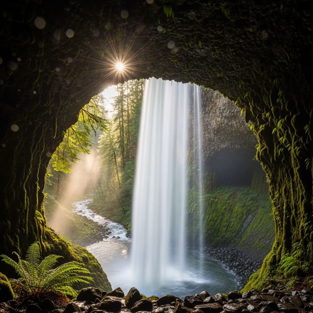
The undisputed highlight is the Trail of Ten Falls, an 7.2- to 8.5-mile moderate loop blending Canyon and Rim Trails with 800 feet of elevation gain. Starting at South Falls parking, hikers descend into a fern-lined canyon under ancient trees, encountering ten waterfalls—including the dramatic 177-foot South Falls, where you can walk behind the cascade. Continue to Lower South, Lower North, and others like Twin Falls and Drake Falls.
This clockwise loop (recommended) maximizes waterfall drama, with boardwalks and stone paths easing navigation. No pets or bikes allowed on Canyon sections to protect wildlife and ensure safety; service animals with documentation are okay. Shorter options include the 2.6-mile Maple Ridge Loop or 1.6-mile South Falls Loop for waterfall highlights without full commitment.
| Trail Segment | Distance (miles) | Key Features | Difficulty |
|---|---|---|---|
| South Falls to Lower South | 0.5 | Behind-the-falls view, 177-ft drop | Easy |
| Full Ten Falls Loop | 7.2-8.5 | 10 falls, canyon/river scenery | Moderate |
| Maple Ridge Loop | 2.6 | Mixed forest, select falls | Easy-Moderate |
| North Rim Trail | 1.0 | ADA-accessible, North Falls view | Easy |
Beyond the Canyon Trail, over 45 miles of paths cater to varied interests. Backcountry trails like Rackett Ridge, Perimeter, and Buck Mountain Loop wind through old-growth remnants, offering sightings of black-tail deer, black bears, coyotes, and cougars—stay alert in remote areas. Mountain bikers yield to hikers; all yield to horses on equestrian routes.
Pro tip: Download the park map from Oregon State Parks for offline use.[10]
South Falls Day-Use buzzes with grassy lawns, picnic shelters, BBQ stands, horseshoe pits, a playground, and off-leash dog area along a creek—perfect for reunions or weddings since 1933. The expanded North Canyon Day-Use adds picnic tables, ADA restrooms, and trail access.
Swimming holes beckon in summer near South Falls, though unofficial—watch currents.[10] Wi-Fi spots and info centers aid planning.[10]
Spring (March-May) dazzles with peak waterfall flow from snowmelt and wildflowers. Summer suits families with warm picnics and swims, but crowds peak July-August. Fall (September-November) paints golden foliage, fewer visitors. Winter offers misty, less-traveled trails—pack rain gear for Oregon’s rainforest climate.
Pack water, snacks, and the Ten Essential systems: navigation, sun protection, insulation, illumination, first aid, fire, repair kit, food, water, emergency shelter. No drones; leave no trace. Fees fund maintenance—buy passes online or on-site.
Accessibility: North Rim Trail and restrooms are ADA-friendly; canyon trails involve stairs.
This lush habitat supports diverse flora like western hemlock, salal, and sword fern, plus fauna including rare cougars. Follow rules: pets leashed outside canyon, no feeding wildlife.
Stay in park cabins, yurts, or campgrounds (reservations essential). Nearby: Silverton’s historic downtown or Mount Hood. For golden-hour hikes, pair with local breweries.
No pets on Canyon Trail; leashed on rims and other paths.
$10/vehicle daily; annual passes available.
Bikes prohibited on Canyon Trail; use backcountry routes.
Equestrian rides offered; self-guided otherwise.
9,000 acres with 45+ trail miles.
