

 Travel Essentials
 Travel Essentials

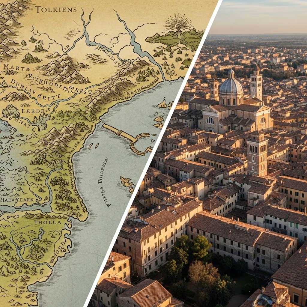
A newly discovered map annotated by Tolkien shows Hobbiton aligns with Oxford's latitude and Minas Tirith draws from Ravenna, bridging fantasy with history.
 Travel Essentials
J.R.R. Tolkien’s legendary world of Middle-earth, home to hobbits, elves, and epic battles, has long captivated readers with its intricate geography. A remarkable discovery—a map personally annotated by Tolkien—sheds new light on how the author grounded his fictional landscapes in real-world places. This annotated chart, once tucked into illustrator Pauline Baynes’ copy of The Lord of the Rings, explicitly links Hobbiton to Oxford’s latitude and suggests Ravenna as a key inspiration for Minas Tirith.
In the world of rare books, few finds rival the excitement of uncovering direct evidence of an author’s creative process. Blackwell’s Rare Books acquired a copy of The Lord of the Rings that belonged to Pauline Baynes, the acclaimed artist who created vibrant illustrations for Tolkien’s works. Loose within its pages was a map of Middle-earth, covered in Tolkien’s precise green-ink notes. These annotations were guidance for Baynes as she crafted her own full-color version of the map in the 1960s.
Henry Gott, a specialist in modern first editions at Blackwell’s, described the item as “perhaps the finest piece of Tolkien ephemera to emerge in the last 20 years.” The map’s value stems not just from its rarity—priced at £60,000—but from its revelation of Tolkien’s hands-on collaboration with artists. It demonstrates how meticulously he controlled the visual representation of his universe, ensuring every detail aligned with his vision.
Tolkien’s notes transform the abstract map into a bridge between myth and geography. They pinpoint exact correspondences with Earth, offering fans and scholars a tantalizing glimpse into his inspirations.
These details correct earlier misconceptions. For instance, some fans speculated Florence as Minas Tirith’s model, but Tolkien’s explicit Ravenna reference clarifies his intent, emphasizing latitude and distance over exact overlays.
Ravenna, on Italy’s Adriatic coast, boasts a rich history that resonates deeply with Minas Tirith’s portrayal. Once a swamp-surrounded stronghold, it served as the Western Roman Empire’s last bastion under Emperor Honorius and later thrived as the Ostrogothic capital under Theodoric the Great. Its survival amid invasions parallels Gondor’s endurance against Mordor’s hordes.
The city’s enduring legacy lies in its UNESCO-listed mosaics, adorning basilicas like San Vitale and Sant’Apollinare Nuovo. These glittering depictions of emperors, empresses, and biblical scenes evoke the monumental grandeur Tolkien ascribed to Minas Tirith—the “Tower of Guard” with its seven concentric walls and beacon-lit towers. Just as Ravenna preserved Roman splendor through turbulent times, Minas Tirith stands as a beacon of civilized resistance.
| Feature | Ravenna (Real World) | Minas Tirith (Middle-earth) |
|---|---|---|
| Geography | Coastal, marshy access; Adriatic port | Mount Ainor foothills; Great River proximity |
| Historical Role | Final Western Roman capital (402–476 CE) | Stewardship of Gondor against eastern threats |
| Cultural Treasures | 8th-century gold mosaics | White Tower; ancient kings’ relics |
| Defensive Legacy | Withstood barbarian sieges | Repelled Witch-king’s assaults |
This table highlights structural and thematic parallels, underscoring why Tolkien might have drawn from Ravenna’s profile of imperial twilight and artistic brilliance.
Oxford, Tolkien’s academic home from 1925 to 1945, permeates his work. The annotated map’s latitude note aligns Hobbiton (roughly 51°N) with Oxford’s position, rooting the Shire in the Midlands’ rolling hills, pubs, and pipe-weed fields. Tolkien, a philologist at Merton College, infused the Shire with Anglo-Saxon coziness, evident in hobbit-hole designs reminiscent of Oxford’s dreaming spires and thatched cottages.
Local lore amplifies this tie: Tolkien frequented the Eagle and Child pub for Inklings meetings, much like hobbits gathering at the Green Dragon. The map’s precision—equating latitudes—suggests Tolkien calibrated Middle-earth’s climate to match England’s mild weather, ideal for second breakfasts and garden parties.
The map underscores Tolkien’s illustrator involvement. Baynes, known for Farmer Giles of Ham and Narnia maps, received this annotated guide to populate forests accurately—specifying tree types—and scale distances correctly. Notes on omitted place names reveal Tolkien’s evolving world-building, refining details post-publication.
This collaboration highlights Tolkien’s perfectionism. Unlike solitary writers, he engaged deeply, ensuring visuals matched his lore. Gott notes this document unveils “the degree to which it is properly collaborative,” transforming our view of Tolkien from lone genius to meticulous director.
While Europe inspired Tolkien broadly—he denied direct cartographic models—this map provides concrete anchors. It counters claims of coincidental map overlays by prioritizing his stated references: latitudes and distances, not shapes. Scholars now debate Ravenna’s influence versus other sites, like Constantinople for Minas Tirith’s scale, but the annotation prioritizes the Italian city.
For fans, it invites travel: visit Ravenna’s mausoleum or Oxford’s pubs to feel Middle-earth’s pulse. The map, now a collector’s prize, may enter a museum, preserving this window into Tolkien’s mind.
It shows Hobbiton at Oxford’s latitude and Minas Tirith near Ravenna’s, with notes on trees, distances, and real-world ties.
Ravenna’s history as a late Roman capital and its mosaicked architecture mirror the city’s defensive and cultural role.
Blackwell’s Rare Books found it in Pauline Baynes’ Lord of the Rings copy.
Tolkien used real latitudes for scale but created his geography imaginatively.
It was offered for sale at £60,000 by Blackwell’s, prized for its insights.
Modern pilgrims trace these links: Ravenna’s festivals echo Gondor’s horns, while Oxford tours highlight Tolkien sites like Addison’s Walk. This map enriches both literature and travel, proving fantasy’s roots in history’s soil. As Tolkien crafted worlds from memory, his annotations invite us to map our own journeys through his enduring legacy.
