

 Travel Essentials
 Travel Essentials

Comprehensive guide to Toronto's airports, public transit, trains, buses, cycling, driving, and more for effortless navigation.
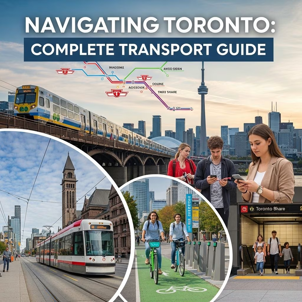 Travel Essentials
Toronto offers a robust network of transportation choices that make it easy for visitors and residents to move efficiently across the city and beyond. From high-speed airport links to extensive public transit systems and bike-friendly paths, understanding these options ensures smooth travel.
Toronto serves as a major gateway with key entry points designed for convenience. Toronto Pearson International Airport stands as Canada’s busiest hub, handling global connections and ranking among the world’s top 30 by passenger volume.
The **UP Express** provides a swift rail link from Pearson to downtown’s Union Station, covering the distance in just 25 minutes with services every 15 minutes. Trains offer free Wi-Fi, with adult one-way fares at $12.35; children 12 and under travel free. Services start early—5:27 a.m. weekdays, 6:27 a.m. weekends—and run late into the night.
Billy Bishop City Airport on Toronto Island connects via pedestrian tunnel or ferry to the mainland, with a complimentary shuttle to the Fairmont Royal York near Union Station, operating from around 5 a.m. to midnight.
Union Station anchors downtown arrivals for **VIA Rail** and **AMTRAK** passengers, linking directly to subways via underground paths. Regional options like the Niagara GO Train offer scenic summer weekend trips to Niagara Falls in about two hours. Long-distance buses also terminate nearby at 81 Bay St., integrating seamlessly with local services.
The **Toronto Transit Commission (TTC)** operates North America’s premier urban network, featuring subways, streetcars, and buses across roughly 1,200 km of routes. It’s ideal for downtown and beyond, with high on-time performance: Line 1 Yonge-University at 87%, Line 2 Bloor-Danforth at 84%, and Line 4 Sheppard at 98%.
Use apps like Google Maps, Apple Maps, or TTC tools for real-time planning. The **PRESTO card** simplifies fares across TTC, GO Transit, UP Express, and more—load it once for contactless payments.
**GO Transit** extends reach across the Greater Toronto Area (GTA) and Ontario, using green-and-white trains and buses from Union Station. It links to Hamilton, Niagara, and beyond, with frequent departures. Children 12 and under ride free.
Key perks include the **One Fare Program**: Tap PRESTO, debit, or credit to transfer seamlessly between GO and TTC—the TTC leg is free regardless of direction. For Niagara, summer GO Trains stop at Port Credit, Oakville, Burlington, St. Catharines, and Niagara Falls.
| Route Example | Duration from Union | Frequency |
|---|---|---|
| Pearson Airport (via UP) | 25 min | Every 15 min |
| Niagara Falls (summer) | 2 hours | Weekends |
| Hamilton | Varies | Regular intervals |
Toronto promotes active transport with over **855 km of bikeways**, blending off-road paths, lanes, and shared roads. **Bike Share Toronto** boasts 9,000+ bikes, including e-bikes, at 800+ stations for 24/7 access.
Rentals from independent shops abound. The Toronto Cycling Map guides safe routes. E-bikes and e-scooters add flexibility for hills and distances.
Highways like **401 (east-west)**, **QEW (south)**, **407 (tolled north)**, and **404 (north-south)** feed into the city. Driving suits outskirts or groups but downtown congestion and parking scarcity favor transit.
Parking: Use apps for spots; car-share services like those near Union Station ease needs. Watch for tolls on 407.
Toronto Islands beckon via ferries from Harbourfront, offering skyline views. Water taxis and boat tours provide scenic alternatives. Billy Bishop’s ferry/tunnel links amplify island access.
TTC’s Wheel-Trans achieves 97% on-time service for specialized needs. Elevators at key stations, low-floor vehicles, and PRESTO support diverse travelers. Resources abound for accessible planning.
| Service | Adult Single Fare | Notes |
|---|---|---|
| TTC | $3.30 (PRESTO) | Transfers 2 hrs |
| UP Express | $12.35 | Kids free |
| GO Transit | Varies by zone | One Fare with TTC |
| Bike Share | Pay-per-use | Short trips free with pass |
PRESTO offers discounts; day passes save for heavy use.
Take the UP Express train—25 minutes to Union Station every 15 minutes.
Core hours 6 a.m.-2 a.m.; Blue Night Network covers overnights.
PRESTO card for seamless use across TTC, GO, UP.
Yes, on subways/streetcars outside rush hours (free).
High: Wheel-Trans 97% on-time, station elevators.
With these strategies, Toronto’s dynamic layout—from CN Tower heights to island ferries—unfolds effortlessly. Whether zipping via subway or pedaling waterfront paths, the city’s systems prioritize reliability and reach.
