

 Travel Essentials
 Travel Essentials

Discover how to thru-hike Armenia's rugged Transcaucasian Trail: from gear prep and seasonal timing to navigation tools and resupply strategies for an unforgettable adventure.
 Travel Essentials
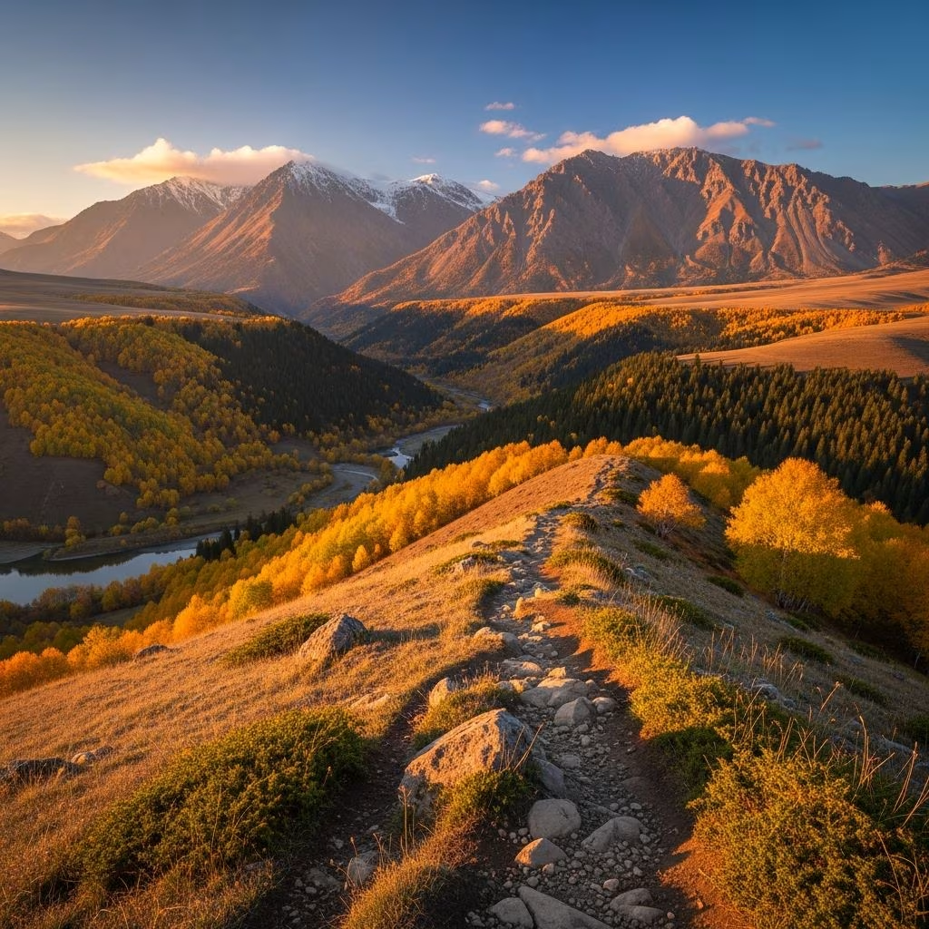
The Transcaucasian Trail (TCT) in Armenia offers hikers a thrilling 860-kilometer journey across dramatic terrains, from volcanic plateaus to lush forests and ancient monasteries. Fully thru-hikeable since 2022, this route connects Lake Arpi in the north to Meghri in the south, showcasing Armenia’s raw beauty and rich history.
Armenia’s section stands out for its variety: trek through arid canyons, alpine meadows bursting with wildflowers, high-altitude ridges, and serene lakesides. Hikers encounter Soviet-era relics, prehistoric sites, and secluded monasteries, blending physical challenge with cultural immersion. Unlike more commercialized European trails, the TCT demands self-reliance, rewarding adventurers with solitude and authentic encounters in remote villages.
At around 535 miles, the full traverse suits experienced backpackers aiming for 4-8 weeks, depending on pace. Shorter sections in areas like Dilijan National Park make it accessible for beginners too.
June through September provides the prime window, when snow melts from higher elevations like the Gegham Mountains. July and August bring intense heat exceeding 32°C (90°F) in lower areas, so start early to beat the sun. Even in peak season, lingering snow patches require caution.
Avoid winter and spring due to impassable snow and mud.
Pack light yet comprehensively for elevation swings up to 3,000 meters and unpredictable weather. Wild camping dominates, so prioritize durable, weatherproof equipment.
| Category | Must-Haves | Tips |
|---|---|---|
| Backpack & Shelter | 50-70L pack, freestanding tent, sleeping bag (comfort 0°C), inflatable pad | Opt for lightweight models; test setup beforehand. |
| Clothing | Layered thermals, waterproof jacket/pants, sun hat, gaiters | Quick-dry synthetics; pack for rain, heat, and cold nights. |
| Hydration & Nutrition | 3-4L water capacity, filter/purifier, dehydrated meals | Water scarce in sections like Arevik; carry extra for 3-day dry stretches. |
| Navigation | GPS device/smartphone, power bank, GPX files | Download from TCT site; no cell service in remotes. |
| Other | First-aid kit, headlamp, trekking poles, cash (AMD) | Include bear spray for Vayots Dzor; multi-tool for repairs. |
For fuel, source camping gas in Yerevan at Camp.am post-arrival, as it’s prohibited on flights.
No printed maps exist, but the official TCT site provides GPX tracks, interactive maps, and guidebooks via donation (around US$100 for premium access including Slack community).
Check section-specific notes for hazards like loose scree or bear activity.
Fly into Yerevan’s Zvartnots Airport. From there:
Buses operate without tickets; pre-book seats by phone. Carry cash for taxis and incidentals.
The TCT unfolds in distinct phases, each with unique demands.
Begin gently amid steppe and hills, passing remote villages. Expect moderate climbs and occasional shops for resupply.
Ochre gorges host bears and ancient monasteries like Noravank. Stock up in towns; terrain mixes forests and cliffs.
Join Armenia’s massive freshwater lake for scenic shores and rest spots. Popular with locals, offering hostels.
High volcanic plateaus demand stamina; snow possible even in summer. Stunning wildflower meadows reward efforts.
Wooded paths, clear markings, and backpacker hubs in Dilijan town. Easiest for novices.
Toughest stretch—remote, waterless for days. Dramatic canyons test endurance.
South-to-North: Tackle brutal Arevik first, building confidence. Heavier southern resupplies, but lighter northward.
North-to-South: Ease in, save energy for endgame. Ideal for acclimation.
Pacing: 20km/day for 6 weeks; leisurely 2 months. Trail runners halve it.
Wild camping prevails; guesthouses (5,000-6,000 AMD/night) cluster near towns. Carry 200,000 AMD startup cash; ATMs sparse.
Budget: US$20-30/day including food.
Prepare for extremes: weather shifts, wildlife (bears), no rescue in remotes. Share itineraries via TCT Slack.
| Item | Estimated Cost (USD) |
|---|---|
| Flights to Yerevan | 500-1000 |
| GPX/Guides | 100 |
| Transport to Trailhead | 50 |
| Food & Lodging (6 weeks) | 800-1200 |
| Gear (if needed) | 500+ |
| Total | 2000-3500 |
Yes, but experience required. Join Slack for community support; sections like Dilijan suit solos best.
No for independent hikes with GPX; multi-day sections have optional guides.
Most nationalities get 180-day visa-free entry.
Spotty; satellite communicator recommended for emergencies.
Absolutely—Gegham, Vayots Dzor, Dilijan ideal for 3-7 days.
