

 Travel Essentials
 Travel Essentials

Discover California’s Highway 395: alpine lakes, ghost towns, hot springs, and dramatic Sierra scenery on an unforgettable 4–7 day road trip.
 Travel Essentials
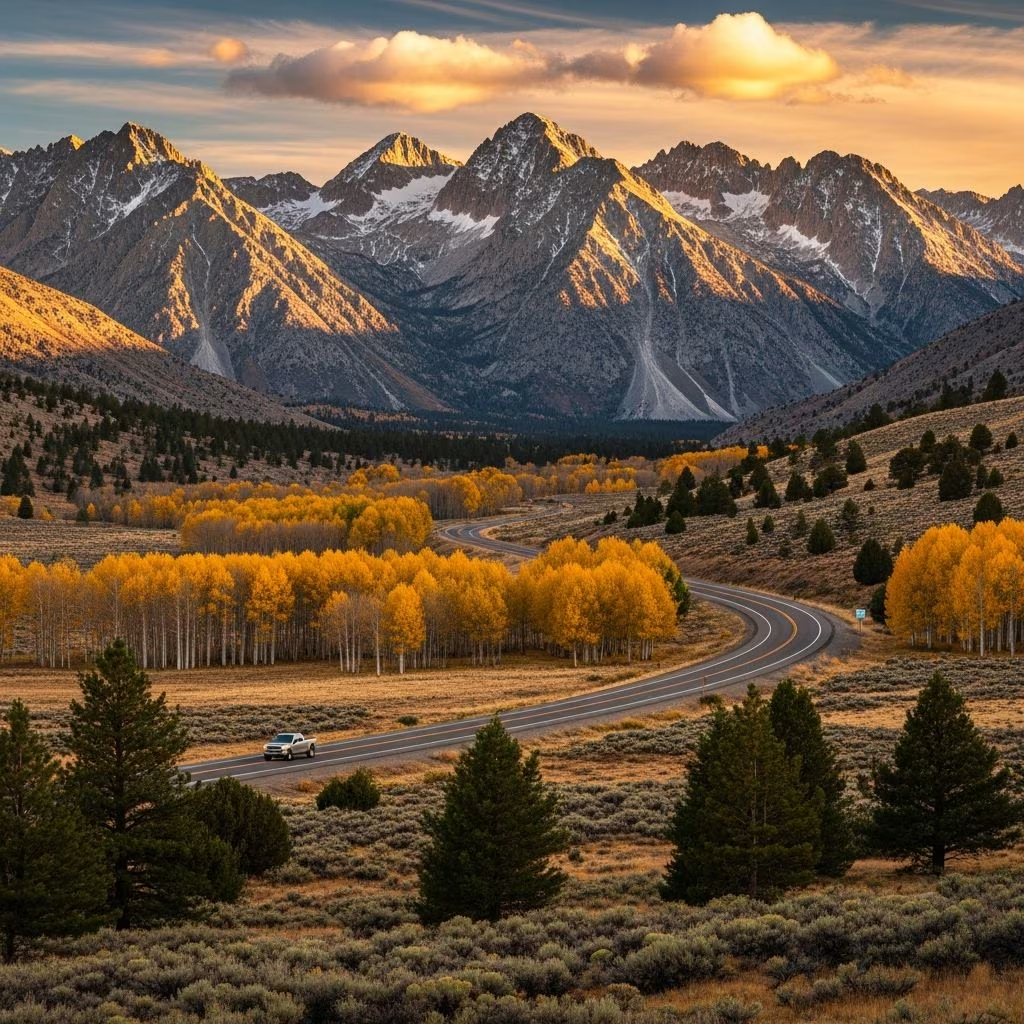
California’s Highway 395 stretches along the rugged eastern flank of the Sierra Nevada, offering a mesmerizing blend of desert expanses, towering granite spires, crystalline lakes, and forgotten mining relics. This route, often overlooked by coastal tourists, delivers raw natural beauty and endless outdoor pursuits. Spanning roughly 150 miles from Lone Pine to Bridgeport, it’s ideal for a 4-7 day journey packed with hikes, scenic drives, and unique geological wonders.
The allure of **Highway 395** lies in its dramatic contrasts: arid sagebrush plains rise abruptly to snow-capped peaks exceeding 14,000 feet. Unlike busier routes like Pacific Coast Highway, this path provides solitude amid epic vistas. It’s accessible year-round, though summer (June-September) unlocks high-country trails and passes. Expect diverse activities from stargazing in dark-sky preserves to soaking in natural hot springs.
Plan for late spring through fall to avoid snow-blocked roads. Tioga Pass, linking to Yosemite, typically opens mid-June. Pack layers for elevation shifts from 3,500 to 10,000+ feet, ample water, sun protection, and a full tank—gas stations are sparse north of Bishop.
| Season | Pros | Cons |
|---|---|---|
| Summer (Jun-Sep) | All passes open, wildflowers, hiking prime | Crowds at Mammoth, hot valleys |
| Fall (Sep-Nov) | Fall colors, fewer visitors | Early snow risks |
| Winter/Spring | Skiing at Mammoth, solitude | Chain controls, closed high roads |
Rent a 4WD for side trips like Bodie State Historic Park. Download offline maps; cell service fades in remote areas.
Kick off in **Lone Pine**, a dusty outpost dwarfed by Mt. Whitney (14,505 feet), the contiguous U.S.’s tallest summit. Head to Alabama Hills, a cinematic wonderland of eroded boulders and natural arches. This free public land starred in films like Tremors and countless Westerns.
Drive Movie Road for pullouts at iconic sites, then hike the easy 0.5-mile Mobius Arch Trail. Frame Whitney through the arch at golden hour—photographers’ paradise. Continue to Whitney Portal Road’s end for trailhead views and the historic store.
About 30 miles north, **Convict Lake** gleams in a sheer-walled cirque, named for an 1871 outlaw ambush. A 2-mile loop trail circles its turquoise waters, reflecting surrounding peaks. Nearby, Hot Creek Geological Site bubbles with geothermal pools—view from boardwalks, no soaking.
**Mammoth Lakes** anchors the route as California’s top ski destination, transforming to hiking haven in summer. Venture into the Lakes Basin via Lake Mary Road. Bike or hike the 10-mile paved path linking Twin Lakes, Lake Mary, and Lake George. For thrill, tackle the steep ascent to Crystal Lake beneath Crystal Crag. Rent gear in town; camp at one of 40+ sites.
Diverge east on the 15-mile **June Lake Loop**, a paved gem threading four lakes amid aspen groves. Swim or fish in Grant Lake, hike to Gem Lake’s waterfall, or picnic at Silver Lake. Fall brings golden foliage; winter offers snowmobiling. This side trip adds variety without straying far from 395.
At **Lee Vining**, marvel at **Mono Lake**, an ancient saline sea famed for calcium carbonate tufa spires. South Tufa Reserve offers boardwalk trails; kayaking reveals submerged forests. The lake’s otherworldly vibe inspired sci-fi.
Detour 13 miles east to **Bodie State Historic Park**, a preserved Gold Rush ghost town frozen in 1880s decay. Wander 170 weathered buildings, including saloons and mills. Entry fee applies; arrive early to beat tour buses.
Near Big Pine, ascend White Mountain Road (dirt but passable) to Schulman Grove in the **Ancient Bristlecone Pine Forest**. These gnarled trees, over 4,000 years old, are Earth’s oldest living organisms. The 4.5-mile loop trail at 10,000 feet showcases twisted sentinels against barren slopes. Barren beauty peaks at the Visitor Center’s Schulman Grove.
Wild Willy’s Hot Spring near Mammoth provides free roadside soaking amid rocky pools—respect Leave No Trace. Travertine Hot Springs north of Bridgeport offers terraced pools with Sierra views.
From Lee Vining, Tioga Road (CA-120) climbs California’s highest pass (9,945 feet) into Yosemite, passing Ellery and Tioga Lakes. Epic for day trips or overnights.
Camping dominates: dispersed sites abound, plus developed spots like Convict Lake Campground. Book resorts early for peak season.
Yes, the main corridor is plowed, but high passes like Tioga close winter. Check Caltrans for updates.
Mammoth Lakes offers most amenities; Bishop for central access.
Absolutely—Alabama Hills arches, lakeside picnics, easy trails suit all ages.
Keep under 100 miles to savor stops; total 150-mile core doable in 3 days.
Many trails allow leashed dogs; check national forest rules.
Altitude sickness hits above 8,000 feet—hydrate, ascend gradually. Watch for wildlife, flash floods in slots. Pack out trash; fires banned in droughts. Respect closures at geothermal sites.
This **Eastern Sierra** odyssey via Highway 395 redefines California travel, blending untamed nature with accessible wonders. Fuel up, hit the road, and let the mountains unfold.
