

 Travel Essentials
 Travel Essentials

Explore cities from home with street-level maps, 360° views, and guided routes for trip planning, learning, and accessible virtual travel.
 Travel Essentials
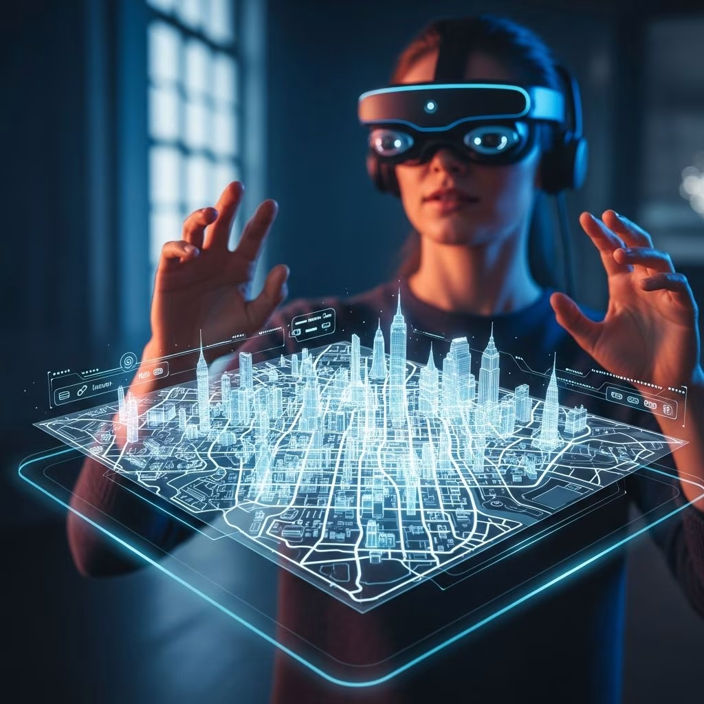
The ability to experience distant cities without leaving home has transformed how travelers prepare for journeys and how those unable to travel can still satisfy their curiosity about the world. Digital mapping platforms have revolutionized this experience by offering street-level imagery, 360-degree photography, and interactive navigation tools that create surprisingly authentic urban exploration. These technologies enable users to wander through historic districts, discover local neighborhoods, and plan detailed itineraries with unprecedented precision.
What began as simple overhead map imagery has evolved into sophisticated systems combining satellite photography, ground-level street perspectives, and user-contributed media. This convergence of technologies has opened new possibilities for pre-trip planning, educational exploration, and virtual travel experiences that capture the essence of urban wandering.
Modern digital mapping platforms provide several distinct viewing modes that work together to create comprehensive urban exploration experiences. Each mode serves specific purposes and offers different perspectives on the same location.
The foundational layer of digital mapping shows cities from above, presenting street layouts, landmark locations, and geographic relationships. This overhead perspective helps orient users to a city’s overall structure and major districts. From this vantage point, explorers can identify routes between attractions, understand neighborhood geography, and plan movement sequences through urban areas. The traditional map view serves as the navigation anchor, allowing users to jump between distant locations instantly and identify starting points for more detailed exploration.
Street-level imagery places viewers at human height on sidewalks and pathways, showing the actual appearance of streets, storefronts, architectural details, and environmental character. This perspective reveals what travelers would encounter while walking, including signage, pedestrian infrastructure, and urban ambiance. Users navigate by clicking directional arrows or moving their cursor to traverse streets virtually. This mode captures the authentic experience of urban wandering, showing not just where places are but what they look like from a pedestrian’s viewpoint. The street-level view transforms distant cities into navigable environments where exploration feels intuitive and familiar.
Special photo points captured at specific locations offer panoramic views, allowing complete rotational observation of surroundings. These enhanced imagery nodes appear as interactive markers on map views and enable users to pause their journey and absorb full environmental context. This mode proves particularly valuable at significant landmarks, scenic vistas, or complex intersections where understanding surroundings requires more than forward-facing perspective. The immersive quality of 360-degree imagery creates emotional connections to locations, helping remote explorers understand not just geography but atmosphere and character.
Before embarking on actual trips, travelers can preview routes through digital mapping exploration. This preparation offers multiple advantages: identifying street-level navigation challenges, locating public transportation connections, discovering adjacent points of interest, and building familiarity with urban layouts. Prospective visitors can practice navigation sequences virtually, reducing confusion and hesitation during actual travel. This pre-exploration transforms the first day in a new city from disorienting to confident, as travelers have already navigated key routes digitally.
Rather than viewing cities as collections of discrete tourist attractions, digital exploration enables comprehensive neighborhood understanding. Users can virtually walk residential streets, observe local businesses, understand commercial districts, and identify gathering spaces. This approach reveals authentic character often missed by traditional guidebooks focused solely on headline attractions. Explorers discover neighborhood gems—modest restaurants, independent shops, street art scenes, and community spaces—that create memorable travel experiences. Understanding neighborhood context transforms sightseeing into cultural engagement.
Virtual urban exploration removes barriers for individuals unable to travel due to mobility limitations, health constraints, financial circumstances, or personal situations. Digital platforms democratize access to global cities, allowing anyone with internet connectivity to experience urban environments. This accessibility extends beyond tourists to researchers, students, educators, and cultural enthusiasts who benefit from remote exploration capabilities. The technology enables inclusive participation in travel experiences regardless of physical or circumstantial limitations.
Beyond spontaneous exploration, many travel platforms offer pre-designed walking routes highlighting specific themes, neighborhoods, or experiences. These curated journeys combine multiple viewing modes with expert-selected waypoints, creating guided experiences that maintain digital medium benefits while providing structured direction.
Curated routes organize experiences around meaningful themes: historic districts, street art districts, culinary neighborhoods, architectural landmarks, or cultural institutions. This thematic approach helps explorers understand cities through particular lenses, building deeper knowledge about specific aspects of urban character. A historical route might sequence through centuries-old architecture and explain evolution of cityscapes. An artistic route might highlight street art districts and gallery locations. These themed journeys transform casual browsing into purposeful cultural exploration.
Professional travel writers and urban experts design sequences of waypoints that optimize discovery flow, balance major attractions with hidden gems, and reveal neighborhoods beyond obvious tourist centers. These expertly curated routes benefit from on-site knowledge and editorial judgment, ensuring sequences make geographic sense and highlight genuinely worthwhile locations. The expertise embedded in curated routes elevates virtual exploration beyond random wandering into meaningful guided experiences.
| City Feature | Historic Districts | Modern Urban Centers | Neighborhood Character |
|---|---|---|---|
| Architectural Focus | Medieval layouts, preserved facades, period details | Contemporary design, innovative infrastructure | Local vernacular, community identity |
| Exploration Benefit | Understanding urban evolution and historical preservation | Viewing contemporary urban solutions and design | Experiencing authentic local life and culture |
| Virtual Advantage | Detailed street-level examination of intricate details | Comprehensive district overview and planning | Accessible observation of community spaces without tourism pressure |
Effective digital exploration requires understanding the interactive tools that enable movement through virtual spaces. Different platforms offer slightly varying interfaces, but fundamental navigation principles remain consistent.
Beyond recreational travel planning, digital mapping platforms serve valuable educational purposes for students and educators. Virtual urban exploration enables geography instruction, cultural studies, historical analysis, and language learning without requiring physical classroom resources or field trips.
Educators can assign virtual exploration tasks that build geographic literacy, cultural understanding, and research skills. Students might investigate neighborhood demographics, document architectural styles, trace historical significance of locations, or compare urban planning approaches across cities. These assignments make abstract concepts tangible through direct observation and encourage critical thinking about how urban design reflects cultural values and historical decisions.
Rather than randomly browsing, explorers benefit from approaching digital cities systematically. Identify 3-5 connected neighborhoods or thematic areas, plan logical routes connecting these areas, and allocate sufficient time in each location for thorough exploration. This structured approach ensures comprehensive city understanding rather than fragmented glimpses of disconnected attractions.
Integrate digital street exploration with written descriptions, historical context, and cultural information from travel guides and reference materials. This multi-modal engagement builds richer understanding than visual exploration alone. Reading about a neighborhood’s history before virtually exploring it adds interpretive depth to street-level observations.
Taking screenshots, recording virtual walks through screen capture tools, and organizing observations creates shareable documentation of virtual exploration. This practice transforms passive viewing into active engagement, encourages careful observation, and enables sharing of discoveries with others. Documentation also creates personal records useful for future trip planning or educational sharing.
While digital exploration offers remarkable capabilities, certain limitations warrant acknowledgment. Street-level imagery reflects single moments in time, not capturing current business operations, seasonal variations, or real-time conditions. Interior spaces remain inaccessible except where specifically captured. The sensory experience—ambient sounds, temperatures, aromas, textures—exists only in imagination. Digital exploration complements rather than replaces physical travel for those able to experience cities in person.
For those planning actual visits, digital exploration serves as preparation and preview. For those unable to travel, it provides meaningful access to global urban environments. For educators and researchers, it enables systematic analysis impossible through other means. Each use case finds particular value in these platforms’ capabilities.
A computer with internet connectivity and a web browser suffice for basic exploration. While a mouse provides more comfortable navigation than touchpad controls, either works. Mobile devices enable exploration but with reduced screen real estate and precision.
Absolutely. Pre-trip virtual exploration reduces disorientation during actual travel, enables identification of specific interest areas, and builds familiarity with urban layouts. This preparation creates more confident and purposeful travel experiences.
Yes. Screen recording tools capture virtual walks that can be converted to videos and shared via email or social platforms. These recordings enable remote sharing of discovery with friends and family unable to explore simultaneously.
Image currency varies significantly by location. Major tourist cities receive frequent updates, while less visited areas may contain older imagery. Platform documentation usually indicates image capture dates, allowing users to understand temporal context.
Many platforms offer basic route access at no cost, with optional premium content or functionality available through paid subscriptions. Specific cost structures vary across different providers and platforms.
Digital mapping platforms have fundamentally transformed how people experience distant cities, enabling meaningful urban exploration from anywhere with internet connectivity. The combination of street-level imagery, 360-degree photography, and interactive navigation creates surprisingly authentic experiences of walking through unfamiliar places. Whether used for trip preparation, educational purposes, accessibility-enabled exploration, or simple cultural curiosity, these platforms offer valuable windows into how cities function and what makes them distinctive.
As these technologies continue evolving, with expanding image coverage, enhanced interactive features, and increasingly comprehensive content, virtual urban exploration will deepen further. The ability to wander city streets remotely, discover neighborhood character, and understand urban geography without leaving home represents one of technology’s most democratizing contributions to travel and learning. For adventurous minds constrained by circumstance or simply curious about how cities across the globe are organized and experienced, digital exploration platforms open remarkable possibilities.
